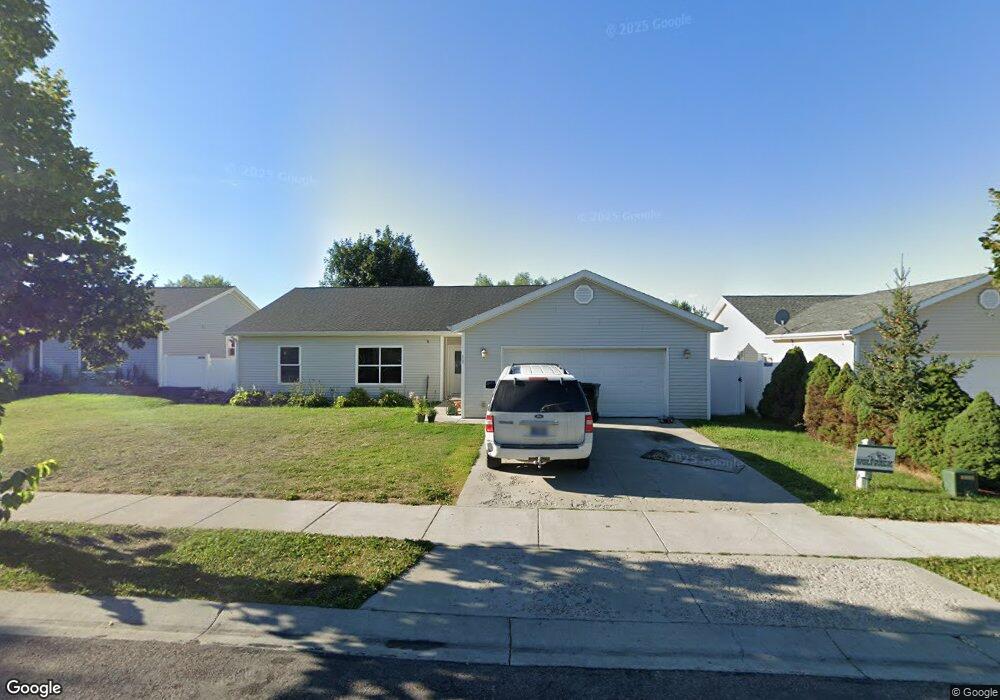
10 Vanderbilt Dr Kalispell, MT 59901
Estimated Value: $471,000 - $514,000
4
Beds
2
Baths
1,516
Sq Ft
$325/Sq Ft
Est. Value
About This Home
This home is located at 10 Vanderbilt Dr, Kalispell, MT 59901 and is currently estimated at $492,171, approximately $324 per square foot. 10 Vanderbilt Dr is a home located in Flathead County with nearby schools including Edgerton School, Kalispell Middle School, and Glacier High School.
Ownership History
Date
Name
Owned For
Owner Type
Purchase Details
Closed on
Dec 14, 2006
Sold by
Northwest Montana Human Resources Inc
Bought by
Osler Nicholas E and Rhoads Sarah
Current Estimated Value
Create a Home Valuation Report for This Property
The Home Valuation Report is an in-depth analysis detailing your home's value as well as a comparison with similar homes in the area
Purchase History
| Date | Buyer | Sale Price | Title Company |
|---|---|---|---|
| Osler Nicholas E | -- | Citizens Title And Escrow Co |
Source: Public Records
Tax History
| Year | Tax Paid | Tax Assessment Tax Assessment Total Assessment is a certain percentage of the fair market value that is determined by local assessors to be the total taxable value of land and additions on the property. | Land | Improvement |
|---|---|---|---|---|
| 2025 | $2,312 | $456,800 | $0 | $0 |
| 2024 | $3,264 | $419,200 | $0 | $0 |
| 2023 | $4,196 | $419,200 | $0 | $0 |
| 2022 | $3,057 | $270,200 | $0 | $0 |
| 2021 | $2,907 | $270,200 | $0 | $0 |
| 2020 | $2,754 | $227,300 | $0 | $0 |
| 2019 | $2,760 | $227,300 | $0 | $0 |
| 2018 | $2,660 | $209,000 | $0 | $0 |
| 2017 | $2,668 | $209,000 | $0 | $0 |
| 2016 | $2,191 | $184,900 | $0 | $0 |
| 2015 | $2,191 | $184,900 | $0 | $0 |
| 2014 | $1,988 | $99,481 | $0 | $0 |
Source: Public Records
Map
Nearby Homes
- 38 Vanderbilt Dr
- 63 Empire Loop
- 17 Empire Loop
- 90 Empire Loop
- 249 Three Mile Dr
- 140 Barron Way
- 174 Empire Loop
- 287 Kara Dr
- 119 Barron Way
- 240 Kara Dr
- 210 Kara Dr
- 224 Kara Dr
- 108 Hearst Dr
- 408 Needlegrass Ln
- 417 Needlegrass Ln
- 433 Needlegrass Ln
- 188 N Riding Rd
- 28 Vista Loop
- 412 Needlegrass Ln
- 424 Needlegrass Ln
- 14 Vanderbilt Dr
- 11 Rockefeller Dr
- 249 Empire Loop
- 15 Rockefeller Dr
- 18 Vanderbilt Dr
- 11 Vanderbilt Dr
- 19 Rockefeller Dr
- 7 Vanderbilt Dr
- 15 Vanderbilt Dr
- 22 Vanderbilt Dr
- 19 Vanderbilt Dr
- 246 Empire Loop
- 248 Empire Loop
- 244 Empire Loop
- 250 Empire Loop
- 23 Rockefeller Dr
- 242 Empire Loop
- 252 Empire Loop
- 10 Carnegie Dr
- 240 Empire Loop
Your Personal Tour Guide
Ask me questions while you tour the home.