10 W Shore Dr Bethlehem, CT 06751
Estimated Value: $301,000 - $538,000
--
Bed
2
Baths
208
Sq Ft
$1,812/Sq Ft
Est. Value
About This Home
This home is located at 10 W Shore Dr, Bethlehem, CT 06751 and is currently estimated at $376,870, approximately $1,811 per square foot. 10 W Shore Dr is a home located in Litchfield County with nearby schools including Bethlehem Elementary School, Mitchell Elementary School, and Woodbury Middle School.
Ownership History
Date
Name
Owned For
Owner Type
Purchase Details
Closed on
Mar 23, 2016
Sold by
Emmons Elizabeth
Bought by
Dempsey Leslie and Emmons Clifford
Current Estimated Value
Create a Home Valuation Report for This Property
The Home Valuation Report is an in-depth analysis detailing your home's value as well as a comparison with similar homes in the area
Home Values in the Area
Average Home Value in this Area
Purchase History
| Date | Buyer | Sale Price | Title Company |
|---|---|---|---|
| Dempsey Leslie | -- | -- | |
| Dempsey Leslie | -- | -- |
Source: Public Records
Tax History Compared to Growth
Tax History
| Year | Tax Paid | Tax Assessment Tax Assessment Total Assessment is a certain percentage of the fair market value that is determined by local assessors to be the total taxable value of land and additions on the property. | Land | Improvement |
|---|---|---|---|---|
| 2025 | $4,367 | $193,400 | $184,400 | $9,000 |
| 2024 | $4,206 | $193,400 | $184,400 | $9,000 |
| 2023 | $3,051 | $111,000 | $105,400 | $5,600 |
| 2022 | $3,053 | $111,000 | $105,400 | $5,600 |
| 2021 | $3,054 | $111,000 | $105,400 | $5,600 |
| 2020 | $2,965 | $111,000 | $105,400 | $5,600 |
| 2019 | $2,974 | $111,000 | $105,400 | $5,600 |
| 2018 | $2,879 | $119,200 | $110,900 | $8,300 |
| 2017 | $3,025 | $119,200 | $110,900 | $8,300 |
| 2016 | $2,790 | $119,200 | $110,900 | $8,300 |
| 2015 | $2,737 | $119,200 | $110,900 | $8,300 |
| 2014 | $2,678 | $119,200 | $110,900 | $8,300 |
Source: Public Records
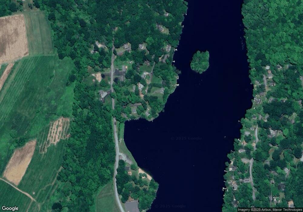
Map
Nearby Homes
- 118 Lake Dr
- 159 Main St N
- 80 White Birch Ln
- 21 Long Meadow Rd
- 104 Terrell Farm Rd
- 8 Main St N
- 208 Wood Creek Rd
- 23 Kenyon Rd
- 124 Auncient Oak Rd
- 34 Evergreen Passway
- 182 Magnolia Hill Rd
- 319 Main St S
- 89 East St
- 169 E Shore Rd
- 171 E Shore Rd
- 298 Kenyon Rd
- 202 Crane Hollow Rd
- 1729 Litchfield Rd
- 98 Island Trail
- 51 Senff Rd