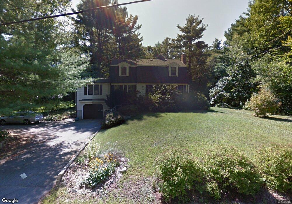
10 Walnut St Millis, MA 02054
Estimated Value: $690,841 - $898,000
4
Beds
3
Baths
2,071
Sq Ft
$382/Sq Ft
Est. Value
About This Home
This home is located at 10 Walnut St, Millis, MA 02054 and is currently estimated at $791,710, approximately $382 per square foot. 10 Walnut St is a home located in Norfolk County with nearby schools including Clyde F Brown, Millis Middle School, and Millis High School.
Ownership History
Date
Name
Owned For
Owner Type
Purchase Details
Closed on
Jan 27, 1989
Sold by
Arena John J
Bought by
Hogan Eamon
Current Estimated Value
Home Financials for this Owner
Home Financials are based on the most recent Mortgage that was taken out on this home.
Original Mortgage
$143,000
Interest Rate
10.66%
Mortgage Type
Purchase Money Mortgage
Create a Home Valuation Report for This Property
The Home Valuation Report is an in-depth analysis detailing your home's value as well as a comparison with similar homes in the area
Home Values in the Area
Average Home Value in this Area
Purchase History
| Date | Buyer | Sale Price | Title Company |
|---|---|---|---|
| Hogan Eamon | $210,000 | -- |
Source: Public Records
Mortgage History
| Date | Status | Borrower | Loan Amount |
|---|---|---|---|
| Closed | Hogan Eamon | $130,000 | |
| Closed | Hogan Eamon | $136,000 | |
| Closed | Hogan Eamon | $144,490 | |
| Closed | Hogan Eamon | $143,000 |
Source: Public Records
Tax History
| Year | Tax Paid | Tax Assessment Tax Assessment Total Assessment is a certain percentage of the fair market value that is determined by local assessors to be the total taxable value of land and additions on the property. | Land | Improvement |
|---|---|---|---|---|
| 2025 | $9,207 | $561,400 | $187,800 | $373,600 |
| 2024 | $8,859 | $539,500 | $187,800 | $351,700 |
| 2023 | $8,817 | $504,100 | $163,300 | $340,800 |
| 2022 | $8,005 | $424,000 | $163,300 | $260,700 |
| 2021 | $7,987 | $407,100 | $163,300 | $243,800 |
| 2020 | $7,806 | $387,600 | $152,600 | $235,000 |
| 2019 | $6,956 | $372,000 | $143,700 | $228,300 |
| 2018 | $6,467 | $358,900 | $130,600 | $228,300 |
| 2017 | $6,324 | $343,300 | $135,400 | $207,900 |
| 2016 | $5,987 | $343,300 | $135,400 | $207,900 |
| 2015 | $5,836 | $343,300 | $135,400 | $207,900 |
Source: Public Records
Map
Nearby Homes
- 4 Brookview Rd
- 50 Walnut St
- 119 Middlesex St
- 2 Towne Lyne Rd
- 6 Glen Ellen Blvd Unit 6
- 13 Hattie Ln Unit 13
- 28 Key St Unit 28
- 124 Glen Ellen Blvd Unit 124
- 6 Rosenfeld Rd
- 6 Rivendell Ln
- 22 May Rd
- 3 Jameson Dr Unit 3
- 10 April Way
- 21 Spywood Rd
- 6 April Way
- 6 Beech St
- 27 Spywood Rd
- 324 Union St Unit 1
- 59 Spywood Rd
- 14 Fiske Pond Rd
Your Personal Tour Guide
Ask me questions while you tour the home.