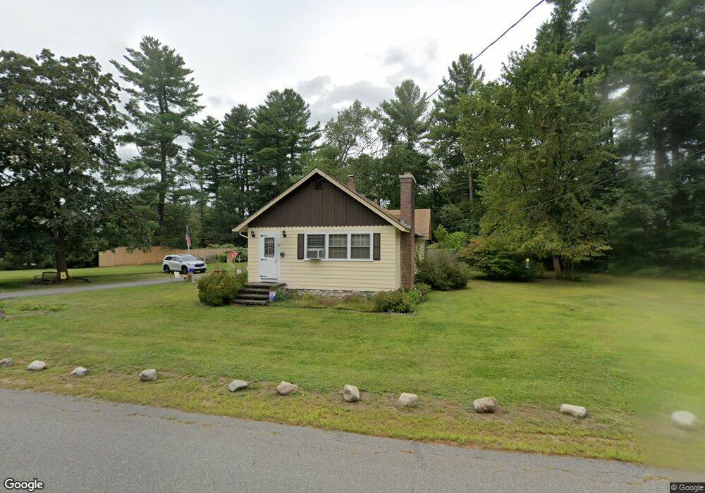
10 Walton Rd Plaistow, NH 03865
Estimated Value: $420,594 - $479,000
2
Beds
1
Bath
1,182
Sq Ft
$382/Sq Ft
Est. Value
About This Home
This home is located at 10 Walton Rd, Plaistow, NH 03865 and is currently estimated at $451,399, approximately $381 per square foot. 10 Walton Rd is a home with nearby schools including Pollard Elementary School, Timberlane Regional Middle School, and Timberlane Regional High School.
Ownership History
Date
Name
Owned For
Owner Type
Purchase Details
Closed on
Nov 16, 2012
Sold by
Clark Donald
Bought by
Clark Sheila M
Current Estimated Value
Purchase Details
Closed on
Apr 28, 1998
Sold by
Walker Chester H and Walker Kathleen L
Bought by
Clark Sheila M and Clark Donald
Home Financials for this Owner
Home Financials are based on the most recent Mortgage that was taken out on this home.
Original Mortgage
$88,000
Interest Rate
7.11%
Create a Home Valuation Report for This Property
The Home Valuation Report is an in-depth analysis detailing your home's value as well as a comparison with similar homes in the area
Home Values in the Area
Average Home Value in this Area
Purchase History
| Date | Buyer | Sale Price | Title Company |
|---|---|---|---|
| Clark Sheila M | -- | -- | |
| Clark Sheila M | $110,000 | -- |
Source: Public Records
Mortgage History
| Date | Status | Borrower | Loan Amount |
|---|---|---|---|
| Previous Owner | Clark Sheila M | $88,000 |
Source: Public Records
Tax History Compared to Growth
Tax History
| Year | Tax Paid | Tax Assessment Tax Assessment Total Assessment is a certain percentage of the fair market value that is determined by local assessors to be the total taxable value of land and additions on the property. | Land | Improvement |
|---|---|---|---|---|
| 2024 | $5,783 | $279,100 | $140,000 | $139,100 |
| 2023 | $6,235 | $279,100 | $140,000 | $139,100 |
| 2022 | $5,306 | $279,100 | $140,000 | $139,100 |
| 2021 | $5,292 | $279,100 | $140,000 | $139,100 |
| 2020 | $5,352 | $247,190 | $109,590 | $137,600 |
| 2019 | $5,268 | $247,190 | $109,590 | $137,600 |
| 2018 | $4,728 | $192,280 | $86,180 | $106,100 |
| 2017 | $4,607 | $192,280 | $86,180 | $106,100 |
| 2016 | $4,326 | $192,280 | $86,180 | $106,100 |
| 2015 | $4,339 | $179,600 | $88,700 | $90,900 |
| 2014 | $4,247 | $169,000 | $88,800 | $80,200 |
| 2011 | $4,176 | $169,000 | $88,800 | $80,200 |
Source: Public Records
Map
Nearby Homes
- 3 Shady Ln
- 5 Shady Ln
- 4 Shady Ln
- 6 Auburn St Unit 1
- 7 Middle Rd Unit B
- 182 Main St
- 60 Old County Rd
- 5 Kimball Ave
- Lot 1 Luke's Way
- 267 Main St
- 25 Cottonwood Rd
- 15 Kingston Rd
- 34 Bel's Way
- 3 Elm St
- 1 Elm St
- 3 Bent Grass Cir Unit 34
- 6 Smith Corner Rd
- 12 Davis Park
- 48 Westville Rd Unit 2
- 10 Sweet Hill Rd
- 7 Walton Rd
- 4 Wilder Dr
- 4 Wilder Dr
- 4 Wilder Dr
- 4 Wilder Dr Unit 2
- 4 Wilder Dr Unit 10D
- 4 Wilder Dr Unit C & D
- 4 Wilder Dr Unit 10C
- 4 Wilder Dr Unit 16
- 4 Wilder Dr Unit 14
- 4 Wilder Dr Unit 10D
- 4 Wilder Dr Unit 7 & 9
- 4 Wilder Dr Unit 10B
- 4 Wilder Dr Unit 10
- 209 Main St
- 3 Shady Ln Unit 2
- 3 Shady Ln
- 3 Shady Ln
- 3 Shady Ln Unit 3
- 14 Walton Rd