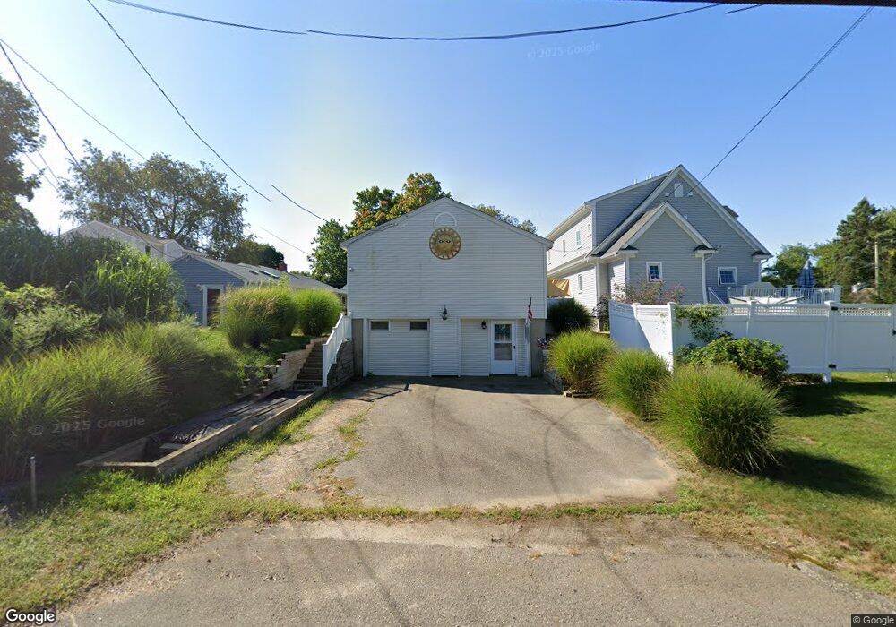
10 Wangum Rd Westbrook, CT 06498
Estimated Value: $520,629 - $843,000
2
Beds
2
Baths
912
Sq Ft
$713/Sq Ft
Est. Value
About This Home
This home is located at 10 Wangum Rd, Westbrook, CT 06498 and is currently estimated at $650,407, approximately $713 per square foot. 10 Wangum Rd is a home located in Middlesex County with nearby schools including Daisy Ingraham School, Westbrook Middle School, and Westbrook High School.
Ownership History
Date
Name
Owned For
Owner Type
Purchase Details
Closed on
Sep 26, 2007
Sold by
Tasca Ericka
Bought by
Smedick Charles and Smedick Barbara
Current Estimated Value
Home Financials for this Owner
Home Financials are based on the most recent Mortgage that was taken out on this home.
Original Mortgage
$236,000
Interest Rate
6.65%
Mortgage Type
Purchase Money Mortgage
Purchase Details
Closed on
Jul 23, 1999
Sold by
Wright Wayne A and Wright Susan T
Bought by
Tasca Ericka
Create a Home Valuation Report for This Property
The Home Valuation Report is an in-depth analysis detailing your home's value as well as a comparison with similar homes in the area
Home Values in the Area
Average Home Value in this Area
Purchase History
| Date | Buyer | Sale Price | Title Company |
|---|---|---|---|
| Smedick Charles | $295,000 | -- | |
| Tasca Ericka | $125,000 | -- |
Source: Public Records
Mortgage History
| Date | Status | Borrower | Loan Amount |
|---|---|---|---|
| Open | Tasca Ericka | $232,000 | |
| Closed | Tasca Ericka | $236,000 | |
| Previous Owner | Tasca Ericka | $330,000 | |
| Previous Owner | Tasca Ericka | $113,000 |
Source: Public Records
Tax History Compared to Growth
Tax History
| Year | Tax Paid | Tax Assessment Tax Assessment Total Assessment is a certain percentage of the fair market value that is determined by local assessors to be the total taxable value of land and additions on the property. | Land | Improvement |
|---|---|---|---|---|
| 2025 | $5,460 | $242,660 | $153,810 | $88,850 |
| 2024 | $5,266 | $242,660 | $153,810 | $88,850 |
| 2023 | $5,174 | $242,660 | $153,810 | $88,850 |
| 2022 | $5,038 | $242,660 | $153,810 | $88,850 |
| 2021 | $4,908 | $196,330 | $110,920 | $85,410 |
| 2020 | $4,908 | $196,330 | $110,920 | $85,410 |
| 2019 | $4,843 | $196,330 | $110,920 | $85,410 |
| 2018 | $4,785 | $196,330 | $110,920 | $85,410 |
| 2017 | $4,785 | $196,330 | $110,920 | $85,410 |
| 2016 | $4,535 | $196,000 | $105,990 | $90,010 |
| 2015 | $4,378 | $194,480 | $105,990 | $88,490 |
| 2014 | $4,238 | $194,480 | $105,990 | $88,490 |
Source: Public Records
Map
Nearby Homes
- 86 Grove Beach Rd N
- 50 & 61 Grove Way
- 0 Boston Post Rd Unit 24080344
- 5 Robin Ln
- 407 Grove Beach Rd N
- 0 Causeway
- 176 Shore Rd
- 610 Marina Way Landing Unit 610
- 448 A - B Grove Beach Rd N
- 328 Hammock Rd N
- 280 E Main St Unit E6
- 280 E Main St Unit A2
- 109 Old Post Rd
- 37 Nolin Rd
- 951 Old Clinton Rd Unit 15
- 20 Carriage Dr
- 912 Boston Post Rd
- 75 Shore Rd
- 1110 Old Clinton Rd
- 0 E Main St