10 Weaver Ln Hinsdale, NH 03451
Estimated Value: $336,000 - $463,000
3
Beds
2
Baths
1,740
Sq Ft
$235/Sq Ft
Est. Value
About This Home
This home is located at 10 Weaver Ln, Hinsdale, NH 03451 and is currently estimated at $408,645, approximately $234 per square foot. 10 Weaver Ln is a home located in Cheshire County with nearby schools including Hinsdale Elementary School, Hinsdale Middle School, and Hinsdale High School.
Ownership History
Date
Name
Owned For
Owner Type
Purchase Details
Closed on
Nov 3, 1981
Bought by
Howard Jeffrey M and Howard Sandra
Current Estimated Value
Create a Home Valuation Report for This Property
The Home Valuation Report is an in-depth analysis detailing your home's value as well as a comparison with similar homes in the area
Home Values in the Area
Average Home Value in this Area
Purchase History
| Date | Buyer | Sale Price | Title Company |
|---|---|---|---|
| Howard Jeffrey M | -- | -- |
Source: Public Records
Tax History Compared to Growth
Tax History
| Year | Tax Paid | Tax Assessment Tax Assessment Total Assessment is a certain percentage of the fair market value that is determined by local assessors to be the total taxable value of land and additions on the property. | Land | Improvement |
|---|---|---|---|---|
| 2024 | $10,160 | $345,700 | $48,300 | $297,400 |
| 2023 | $9,700 | $345,700 | $48,300 | $297,400 |
| 2022 | $7,773 | $277,800 | $48,300 | $229,500 |
| 2021 | $5,857 | $179,400 | $40,400 | $139,000 |
| 2020 | $6,127 | $179,400 | $40,400 | $139,000 |
| 2019 | $6,112 | $179,400 | $40,400 | $139,000 |
| 2018 | $1,876 | $175,800 | $40,400 | $135,400 |
| 2017 | $5,346 | $175,800 | $40,400 | $135,400 |
| 2016 | $1,822 | $181,600 | $42,000 | $139,600 |
| 2015 | $4,702 | $181,600 | $42,000 | $139,600 |
| 2014 | $4,736 | $181,600 | $42,000 | $139,600 |
| 2013 | $4,782 | $185,000 | $42,000 | $143,000 |
Source: Public Records
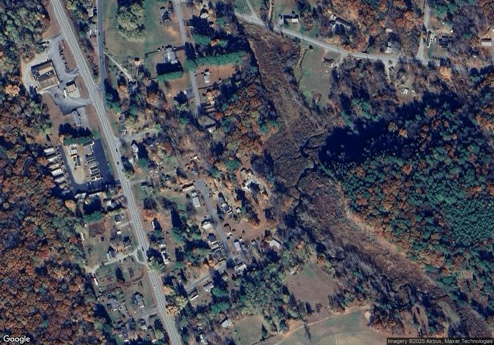
Map
Nearby Homes
- 785 Brattleboro Rd
- Lot 26-3 Plain Rd
- Lot 26-4 Plain Rd
- Lot 26-2 Plain Rd
- Lot 26-1 Plain Rd
- 556 S Main St
- 573 S Main St
- 0 Fort Dummer Heights Unit 4934976
- 91 Sunny Acres Rd
- 48 Robbins St
- 6 Pine St
- 18 Pine St
- 16 Hillcrest St
- 21 Cedar St
- 18 Springbrook St
- 22 Springbrook St
- 257 Partridge Rd
- 49 Clark Ave
- 116 Morningside Commons
- 172 Franklin Rd