Estimated Value: $852,000 - $953,000
3
Beds
3
Baths
2,542
Sq Ft
$359/Sq Ft
Est. Value
About This Home
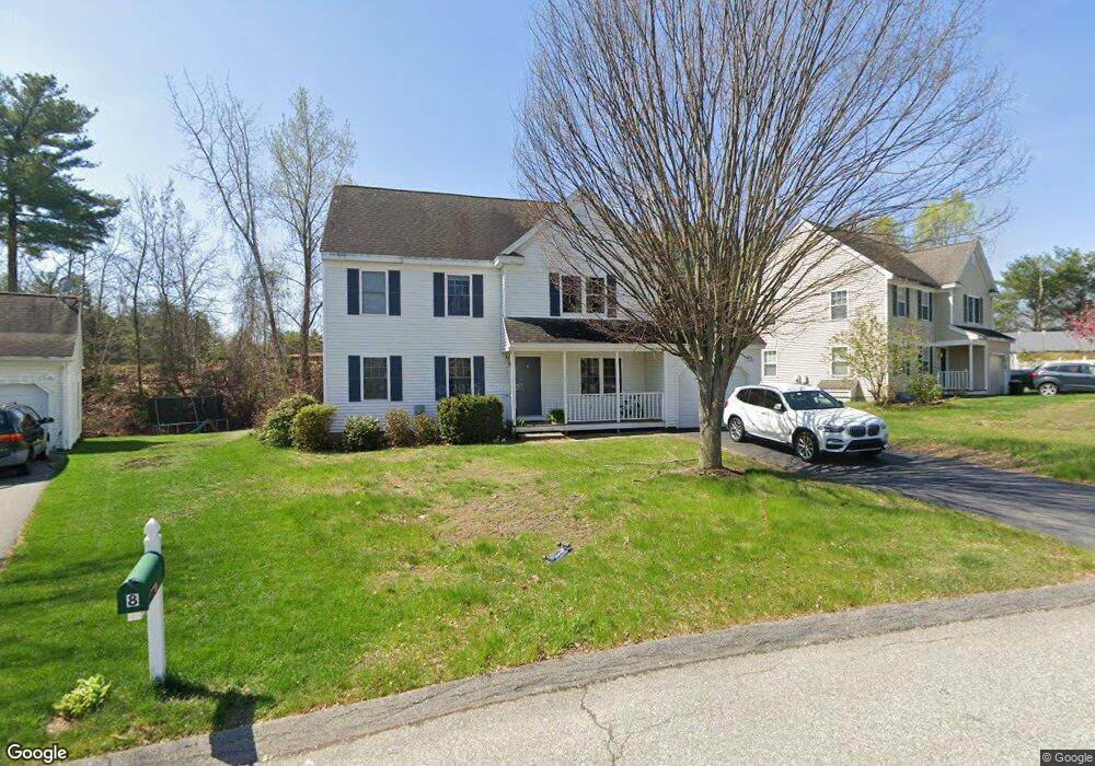
This home is located at 10 Westside Dr, Acton, MA 01720 and is currently estimated at $913,205, approximately $359 per square foot. 10 Westside Dr is a home located in Middlesex County with nearby schools including Acton-Boxborough Regional High School, Maynard Knowledge Beginnings, and The Imago School.
Ownership History
Date
Name
Owned For
Owner Type
Purchase Details
Closed on
Feb 26, 2001
Sold by
Westside Rlty Llp
Bought by
Shen Shigang and Shi Jianying
Current Estimated Value
Home Financials for this Owner
Home Financials are based on the most recent Mortgage that was taken out on this home.
Original Mortgage
$329,580
Interest Rate
6.89%
Mortgage Type
Purchase Money Mortgage
Create a Home Valuation Report for This Property
The Home Valuation Report is an in-depth analysis detailing your home's value as well as a comparison with similar homes in the area
Home Values in the Area
Average Home Value in this Area
Purchase History
| Date | Buyer | Sale Price | Title Company |
|---|---|---|---|
| Shen Shigang | $366,200 | -- |
Source: Public Records
Mortgage History
| Date | Status | Borrower | Loan Amount |
|---|---|---|---|
| Open | Shen Shigang | $179,400 | |
| Closed | Shen Shigang | $250,000 | |
| Closed | Shen Shigang | $329,580 |
Source: Public Records
Tax History
| Year | Tax Paid | Tax Assessment Tax Assessment Total Assessment is a certain percentage of the fair market value that is determined by local assessors to be the total taxable value of land and additions on the property. | Land | Improvement |
|---|---|---|---|---|
| 2025 | $13,545 | $789,800 | $303,100 | $486,700 |
| 2024 | $12,648 | $758,700 | $303,100 | $455,600 |
| 2023 | $12,515 | $712,700 | $275,500 | $437,200 |
| 2022 | $11,831 | $608,300 | $239,600 | $368,700 |
| 2021 | $11,551 | $571,000 | $221,900 | $349,100 |
| 2020 | $10,892 | $566,100 | $221,900 | $344,200 |
| 2019 | $10,466 | $540,300 | $221,900 | $318,400 |
| 2018 | $10,277 | $530,300 | $221,900 | $308,400 |
| 2017 | $10,012 | $525,300 | $221,900 | $303,400 |
| 2016 | $9,811 | $510,200 | $221,900 | $288,300 |
| 2015 | $9,685 | $508,400 | $221,900 | $286,500 |
| 2014 | $9,344 | $480,400 | $221,900 | $258,500 |
Source: Public Records
Map
Nearby Homes
- 96 Forest Ridge Rd Unit 96
- 24 Deer Path Unit 5
- 2 & 6 Powder Mill Rd
- 70 Powder Mill Rd
- 68 Powder Mill Rd
- 66 Powder Mill Rd
- 22 Douglas Ave Unit 2
- 22 Douglas Ave Unit 1
- 1 Drummer Rd Unit A5
- 28 Waltham St Unit A
- 5 Hayes St Unit 5
- 37 Glendale St
- 17 Prospect St
- 31-33 Roosevelt St
- 31 Drummer Rd Unit 31
- 13 Arthur St Unit 15
- 12 Brown St
- 36 Brown St
- 128 Parker St Unit 3B
- 62 Edgewood Rd
- 10 W Side Dr
- 10 W Side Dr
- 10 Westside Dr
- 10 Westside Dr Unit 10
- 12 Westside Dr
- 6 Westside Dr
- 9 Westside Dr
- 4 Westside Dr
- 7 Westside Dr
- 14 Westside Dr
- 11 Westside Dr
- 2 Westside Dr
- 1 Westside Dr
- 16 Westside Dr
- 15 Westside Dr
- 13 Westside Dr
- 3 Westside Dr
- 5 Westside Dr
- 31 Powdermill Rd
- 31 Powdermill Rd Unit A
Your Personal Tour Guide
Ask me questions while you tour the home.