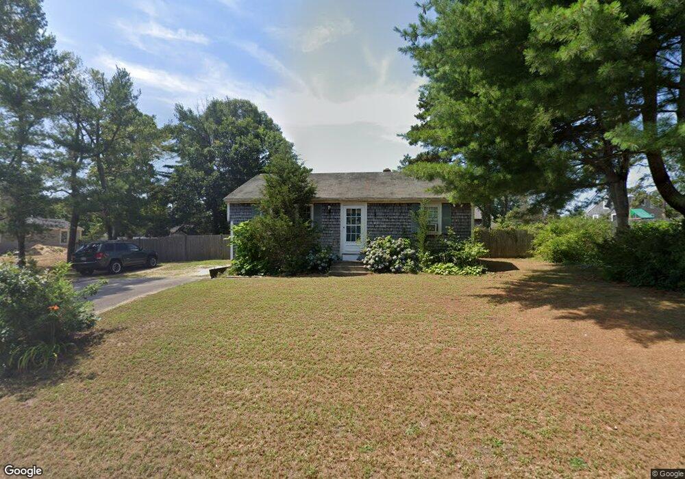
10 Whippoorwill Way Wareham, MA 02571
Estimated Value: $350,000 - $391,000
2
Beds
1
Bath
816
Sq Ft
$455/Sq Ft
Est. Value
About This Home
This home is located at 10 Whippoorwill Way, Wareham, MA 02571 and is currently estimated at $371,254, approximately $454 per square foot. 10 Whippoorwill Way is a home located in Plymouth County.
Ownership History
Date
Name
Owned For
Owner Type
Purchase Details
Closed on
Jun 18, 2008
Sold by
Bird Michael P and Bird Christine L
Bought by
Smith Douglas B
Current Estimated Value
Home Financials for this Owner
Home Financials are based on the most recent Mortgage that was taken out on this home.
Original Mortgage
$151,620
Interest Rate
6.1%
Mortgage Type
Purchase Money Mortgage
Purchase Details
Closed on
Jul 24, 2003
Sold by
Clements Edward J and Clements Susan K
Bought by
Bird Michael P
Purchase Details
Closed on
Sep 29, 2000
Sold by
Perry Shaune C
Bought by
Clements Edward J
Purchase Details
Closed on
Nov 6, 1998
Sold by
Gay Lori A
Bought by
Perry Shaune C
Create a Home Valuation Report for This Property
The Home Valuation Report is an in-depth analysis detailing your home's value as well as a comparison with similar homes in the area
Purchase History
| Date | Buyer | Sale Price | Title Company |
|---|---|---|---|
| Smith Douglas B | $154,000 | -- | |
| Smith Douglas B | $154,000 | -- | |
| Bird Michael P | $186,900 | -- | |
| Bird Michael P | $186,900 | -- | |
| Clements Edward J | $120,000 | -- | |
| Clements Edward J | $120,000 | -- | |
| Perry Shaune C | $98,000 | -- |
Source: Public Records
Mortgage History
| Date | Status | Borrower | Loan Amount |
|---|---|---|---|
| Open | Perry Shaune C | $153,894 | |
| Closed | Perry Shaune C | $151,620 |
Source: Public Records
Tax History
| Year | Tax Paid | Tax Assessment Tax Assessment Total Assessment is a certain percentage of the fair market value that is determined by local assessors to be the total taxable value of land and additions on the property. | Land | Improvement |
|---|---|---|---|---|
| 2025 | $3,122 | $299,600 | $109,900 | $189,700 |
| 2024 | $3,199 | $284,900 | $85,900 | $199,000 |
| 2023 | $3,068 | $255,000 | $78,100 | $176,900 |
| 2022 | $2,894 | $219,600 | $78,100 | $141,500 |
| 2021 | $2,865 | $213,000 | $78,100 | $134,900 |
| 2020 | $2,677 | $201,900 | $78,100 | $123,800 |
| 2019 | $2,552 | $192,000 | $75,200 | $116,800 |
| 2018 | $2,415 | $177,200 | $75,200 | $102,000 |
| 2017 | $2,295 | $170,600 | $75,200 | $95,400 |
| 2016 | $2,097 | $155,000 | $72,800 | $82,200 |
| 2015 | $2,026 | $155,000 | $72,800 | $82,200 |
| 2014 | $1,998 | $155,500 | $69,100 | $86,400 |
Source: Public Records
Map
Nearby Homes
- 2697 Cranberry Hwy Unit 23
- 2711 Cranberry Hwy
- 156 Sandwich Rd
- 103 Kimberly Ct
- 2645 Cranberry Hwy Unit A
- 2783 Cranberry Hwy
- 25 Linwood Ave
- 55 Minot Ave Unit 55
- 10 Oak St
- 110 Mayflower Ridge Dr
- 2838 Cranberry Hwy
- 124 Minot Ave Unit 1
- 0 Charge Pond Rd
- 437 Main St
- 7 Knowles Ave
- 9 Old Glen Charlie Rd
- 91 Agawam Lake Shore Dr
- 102 Maple Springs Rd
- 106 Circuit Ave
- 4 Ross Ave
- 10 Whipoorwill Way
- 13 Whipoorwill Way
- 12 Whippoorwill Way
- 13 Meadowlark Dr
- 3 Partridge Path
- 15 Meadowlark Dr
- 11 Whipoorwill Way
- 11 Whipoorwill Way Unit o
- 11 Whippoorwill Way
- 15 Whipoorwill Way
- 15 Whippoorwill Way
- 5 Partridge Path
- 14 Whipoorwill Way
- 17 Whipoorwill Way
- 16 Meadowlark Dr
- 4 Partridge Path
- 6 Partridge Path
- 17 Meadowlark Dr
- 20 Meadowlark Dr
- 18 Meadowlark Dr
Your Personal Tour Guide
Ask me questions while you tour the home.