10 Windswept Ln Moultonborough, NH 03254
Estimated Value: $683,000 - $2,862,000
2
Beds
2
Baths
2,477
Sq Ft
$640/Sq Ft
Est. Value
About This Home
This home is located at 10 Windswept Ln, Moultonborough, NH 03254 and is currently estimated at $1,584,673, approximately $639 per square foot. 10 Windswept Ln is a home with nearby schools including Moultonborough Central School and Moultonborough Academy High School.
Ownership History
Date
Name
Owned For
Owner Type
Purchase Details
Closed on
Dec 10, 2007
Sold by
Peck Ronald J and Peck Evann E
Bought by
Obrien Maureen A
Current Estimated Value
Home Financials for this Owner
Home Financials are based on the most recent Mortgage that was taken out on this home.
Original Mortgage
$400,000
Interest Rate
6.37%
Mortgage Type
Purchase Money Mortgage
Purchase Details
Closed on
Aug 4, 2004
Sold by
Bonarigo Francis J and Bonarigo Donna M
Bought by
Peck Ronald J and Peck Evann E
Home Financials for this Owner
Home Financials are based on the most recent Mortgage that was taken out on this home.
Original Mortgage
$524,000
Interest Rate
6.2%
Mortgage Type
Purchase Money Mortgage
Create a Home Valuation Report for This Property
The Home Valuation Report is an in-depth analysis detailing your home's value as well as a comparison with similar homes in the area
Home Values in the Area
Average Home Value in this Area
Purchase History
| Date | Buyer | Sale Price | Title Company |
|---|---|---|---|
| Obrien Maureen A | $750,000 | -- | |
| Peck Ronald J | $655,000 | -- |
Source: Public Records
Mortgage History
| Date | Status | Borrower | Loan Amount |
|---|---|---|---|
| Open | Peck Ronald J | $300,000 | |
| Closed | Peck Ronald J | $400,000 | |
| Previous Owner | Peck Ronald J | $524,000 |
Source: Public Records
Tax History Compared to Growth
Tax History
| Year | Tax Paid | Tax Assessment Tax Assessment Total Assessment is a certain percentage of the fair market value that is determined by local assessors to be the total taxable value of land and additions on the property. | Land | Improvement |
|---|---|---|---|---|
| 2024 | $8,170 | $1,446,100 | $1,090,000 | $356,100 |
| 2023 | $7,534 | $1,321,800 | $973,200 | $348,600 |
| 2022 | $5,557 | $1,162,600 | $846,600 | $316,000 |
| 2021 | $6,456 | $924,900 | $647,600 | $277,300 |
| 2020 | $5,998 | $841,200 | $582,800 | $258,400 |
| 2019 | $5,589 | $781,700 | $537,800 | $243,900 |
| 2018 | $5,216 | $675,700 | $461,000 | $214,700 |
| 2017 | $5,260 | $639,900 | $448,500 | $191,400 |
| 2016 | $5,347 | $611,800 | $433,600 | $178,200 |
| 2015 | $5,357 | $594,600 | $433,600 | $161,000 |
| 2014 | $5,268 | $594,600 | $433,600 | $161,000 |
| 2013 | $5,167 | $594,600 | $433,600 | $161,000 |
Source: Public Records
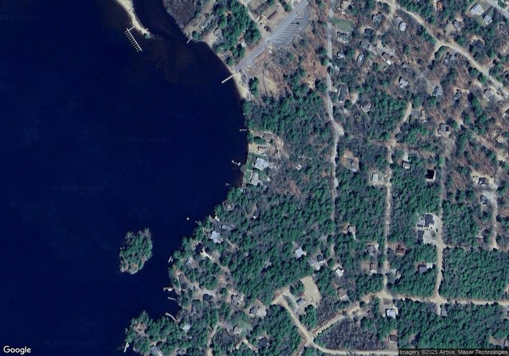
Map
Nearby Homes
- 00 Grande St Unit 44
- 41 Saint Gallen St
- 16 Myrtle Dr
- 00 Sundorf St Unit 117
- 0 Sundorf St Unit 901 5009559
- 65.1 Gansy Island
- 72 Sundorf St
- 7 Eden Ln
- 37 Mayflower Ln
- 24 Sunrise Dr
- 120 Locarno St
- 11 Geery Ln
- 31 Suissevale Ave
- 0 States Landing Rd Unit 5036165
- 122-1 Gwh Hwy
- 21 Orton Ln
- 122-001-002 Governor Wentworth Hwy
- 538 Governor Wentworth Hwy
- 46 Toltec Point Rd
- 0 Moose Walk
- 8 Windswept Ln
- 54 Castle Shore Rd
- 6 Windswept Ln
- 68 Castle Shore Rd
- 68 Castle Shore Rd
- 4 Windswept Ln
- 74 Castle Shore Rd
- 76 Castle Shore Rd
- 67 Castle Shore Rd
- 23 Basel St
- 39 Basel St
- 78 Castle Shore Rd
- 79 Castle Shore Rd
- 33 Basel St
- 80 Castle Shore Rd
- 40 Grande St
- 23 Castle Shore Rd
- 81 Castle Shore Rd
- 36 Basel St
- 82 Castle Shore Rd