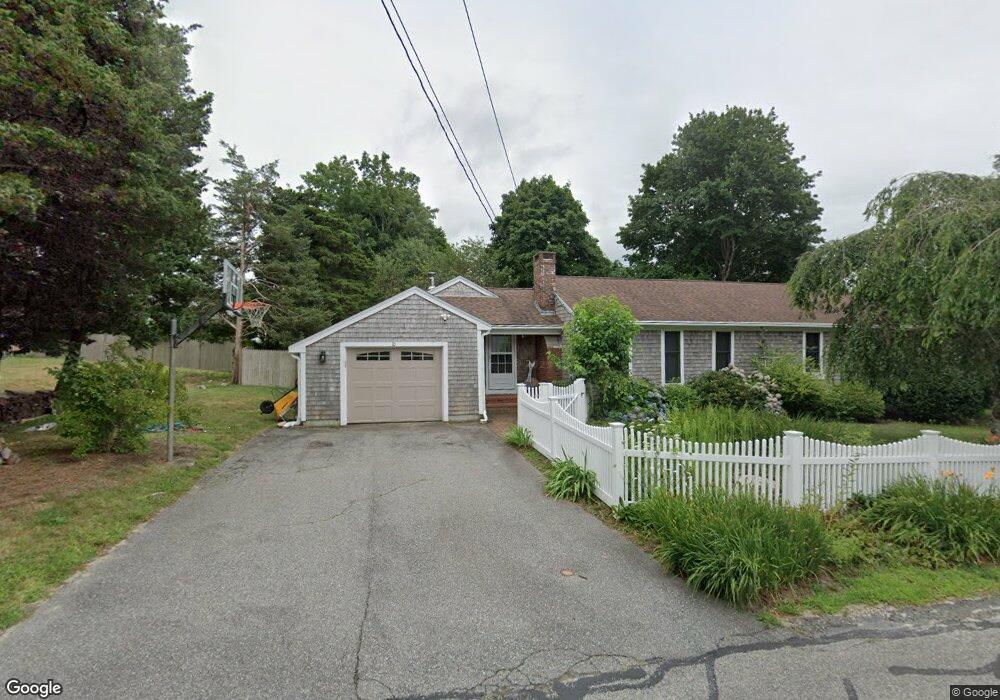
10 Wing Rd Pocasset, MA 02559
Pocasset NeighborhoodEstimated Value: $592,000 - $703,000
3
Beds
2
Baths
1,201
Sq Ft
$550/Sq Ft
Est. Value
About This Home
This home is located at 10 Wing Rd, Pocasset, MA 02559 and is currently estimated at $660,514, approximately $549 per square foot. 10 Wing Rd is a home located in Barnstable County with nearby schools including Bourne High School and Cadence Academy Preschool - Bourne.
Ownership History
Date
Name
Owned For
Owner Type
Purchase Details
Closed on
May 26, 2021
Sold by
Doucette Marc D and Rheaume-Doucette Deidre J
Bought by
Rheaume-Doucette D J
Current Estimated Value
Home Financials for this Owner
Home Financials are based on the most recent Mortgage that was taken out on this home.
Original Mortgage
$297,000
Outstanding Balance
$267,722
Interest Rate
2.9%
Mortgage Type
New Conventional
Estimated Equity
$392,792
Purchase Details
Closed on
Jun 12, 2000
Sold by
Keeler Russell S
Bought by
Douchette Marc D and Doucette Deidre J
Home Financials for this Owner
Home Financials are based on the most recent Mortgage that was taken out on this home.
Original Mortgage
$168,000
Interest Rate
8.12%
Mortgage Type
Purchase Money Mortgage
Create a Home Valuation Report for This Property
The Home Valuation Report is an in-depth analysis detailing your home's value as well as a comparison with similar homes in the area
Home Values in the Area
Average Home Value in this Area
Purchase History
| Date | Buyer | Sale Price | Title Company |
|---|---|---|---|
| Rheaume-Doucette D J | -- | None Available | |
| Rheaume-Doucette D J | -- | None Available | |
| Rheaume-Doucette D J | -- | None Available | |
| Douchette Marc D | $210,000 | -- | |
| Douchette Marc D | $210,000 | -- |
Source: Public Records
Mortgage History
| Date | Status | Borrower | Loan Amount |
|---|---|---|---|
| Open | Rheaume-Doucette D J | $297,000 | |
| Closed | Rheaume-Doucette D J | $297,000 | |
| Previous Owner | Douchette Marc D | $185,000 | |
| Previous Owner | Douchette Marc D | $168,000 | |
| Previous Owner | Douchette Marc D | $168,000 |
Source: Public Records
Tax History Compared to Growth
Tax History
| Year | Tax Paid | Tax Assessment Tax Assessment Total Assessment is a certain percentage of the fair market value that is determined by local assessors to be the total taxable value of land and additions on the property. | Land | Improvement |
|---|---|---|---|---|
| 2025 | $4,035 | $516,700 | $206,900 | $309,800 |
| 2024 | $3,946 | $492,000 | $197,100 | $294,900 |
| 2023 | $3,769 | $427,800 | $166,800 | $261,000 |
| 2022 | $3,918 | $388,300 | $181,200 | $207,100 |
| 2021 | $3,834 | $356,000 | $164,900 | $191,100 |
| 2020 | $3,717 | $346,100 | $163,300 | $182,800 |
| 2019 | $3,529 | $335,800 | $163,300 | $172,500 |
| 2018 | $3,287 | $311,900 | $155,600 | $156,300 |
| 2017 | $3,007 | $291,900 | $142,700 | $149,200 |
| 2016 | $2,803 | $275,900 | $142,700 | $133,200 |
| 2015 | $3,008 | $298,700 | $165,500 | $133,200 |
Source: Public Records
Map
Nearby Homes
- 171 Bellavista Dr
- 254 Barlows Landing Rd
- 34 Kenwood Rd
- 45 Kenwood Rd
- 940 County Rd
- 70 Wings Neck Rd
- 709 County Rd
- 22 Nairn Rd
- 14 Navajo Rd
- 174 Barlows Landing Rd
- 24 Richmond Rd
- 7 4th Ave
- 15 1st St
- 940 County Rd
- 48 Red Brook Harbor Rd
- 3 Red Brook Pond Dr
- 39 Bennets Neck Dr
- 1094 County Rd
- 89 Harbor Dr
- 7 Portside Dr