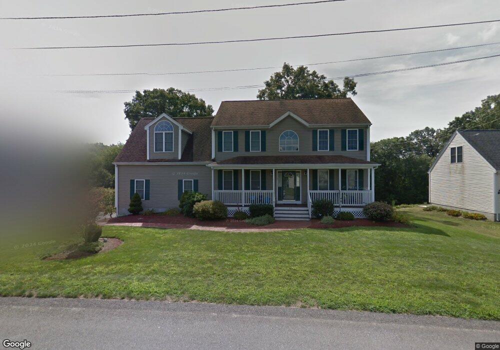
10 Woodside Ave Attleboro, MA 02703
Estimated Value: $658,928 - $817,000
3
Beds
3
Baths
2,430
Sq Ft
$300/Sq Ft
Est. Value
About This Home
This home is located at 10 Woodside Ave, Attleboro, MA 02703 and is currently estimated at $729,482, approximately $300 per square foot. 10 Woodside Ave is a home located in Bristol County with nearby schools including Hill-Roberts Elementary School, Robert J. Coelho Middle School, and Attleboro High School.
Create a Home Valuation Report for This Property
The Home Valuation Report is an in-depth analysis detailing your home's value as well as a comparison with similar homes in the area
Home Values in the Area
Average Home Value in this Area
Tax History Compared to Growth
Tax History
| Year | Tax Paid | Tax Assessment Tax Assessment Total Assessment is a certain percentage of the fair market value that is determined by local assessors to be the total taxable value of land and additions on the property. | Land | Improvement |
|---|---|---|---|---|
| 2025 | $7,491 | $596,900 | $175,100 | $421,800 |
| 2024 | $7,072 | $555,500 | $157,700 | $397,800 |
| 2023 | $6,607 | $482,600 | $159,300 | $323,300 |
| 2022 | $6,307 | $436,500 | $151,900 | $284,600 |
| 2021 | $6,275 | $424,000 | $146,100 | $277,900 |
| 2020 | $5,977 | $410,500 | $139,500 | $271,000 |
| 2019 | $5,823 | $411,200 | $136,900 | $274,300 |
| 2018 | $3,957 | $378,800 | $132,900 | $245,900 |
| 2017 | $3,885 | $375,700 | $129,500 | $246,200 |
| 2016 | $5,283 | $356,500 | $121,000 | $235,500 |
| 2015 | $5,123 | $348,300 | $121,000 | $227,300 |
| 2014 | $5,050 | $340,100 | $115,700 | $224,400 |
Source: Public Records
Map
Nearby Homes
- 101 Middle St
- 15 Arline Dr
- 0 Middle St
- 176 Read St
- 59 Samuel Way
- 517 Newport Ave
- 295 Newport Ave
- 130 Zoar Ave
- 135 Cumberland Ave
- 64 Highland Ave Unit A
- 64 Highland Ave Unit B
- 39 Slade Ave
- 31 Kevin Dr
- 56 Liberty Dr
- 27 Killarney Way
- 53 Liberty Dr
- 48 Liberty Dr
- 980 Newport Ave
- 13 Rita Dr
- 44 Buffington St