100 Apache Trail Hartwell, GA 30643
Estimated Value: $586,000 - $931,000
Studio
--
Bath
1,948
Sq Ft
$391/Sq Ft
Est. Value
About This Home
This home is located at 100 Apache Trail, Hartwell, GA 30643 and is currently estimated at $761,250, approximately $390 per square foot. 100 Apache Trail is a home with nearby schools including Hart County High School.
Ownership History
Date
Name
Owned For
Owner Type
Purchase Details
Closed on
Aug 25, 2020
Sold by
Allen Maxey R
Bought by
Partin Clint W and Partin Shelly Watson
Current Estimated Value
Purchase Details
Closed on
Dec 17, 2012
Sold by
Allen Maxey R
Bought by
Allen Maxey R and Allen Fran H
Purchase Details
Closed on
Nov 1, 1996
Purchase Details
Closed on
Oct 1, 1996
Create a Home Valuation Report for This Property
The Home Valuation Report is an in-depth analysis detailing your home's value as well as a comparison with similar homes in the area
Home Values in the Area
Average Home Value in this Area
Purchase History
| Date | Buyer | Sale Price | Title Company |
|---|---|---|---|
| Partin Clint W | $170,000 | -- | |
| Allen Maxey R | -- | -- | |
| -- | $49,000 | -- | |
| -- | $131,900 | -- |
Source: Public Records
Tax History
| Year | Tax Paid | Tax Assessment Tax Assessment Total Assessment is a certain percentage of the fair market value that is determined by local assessors to be the total taxable value of land and additions on the property. | Land | Improvement |
|---|---|---|---|---|
| 2025 | $3,480 | $252,506 | $116,000 | $136,506 |
| 2024 | $3,766 | $243,860 | $106,000 | $137,860 |
| 2023 | $3,698 | $222,065 | $106,000 | $116,065 |
| 2022 | $3,486 | $209,336 | $106,000 | $103,336 |
| 2021 | $1,261 | $75,962 | $72,000 | $3,962 |
| 2020 | $1,626 | $83,962 | $80,000 | $3,962 |
| 2019 | $1,485 | $75,962 | $72,000 | $3,962 |
| 2018 | $1,502 | $75,962 | $72,000 | $3,962 |
| 2017 | $1,510 | $75,962 | $72,000 | $3,962 |
| 2016 | $1,558 | $75,962 | $72,000 | $3,962 |
| 2015 | $1,479 | $75,962 | $72,000 | $3,962 |
| 2014 | $1,159 | $58,362 | $54,400 | $3,962 |
| 2013 | -- | $58,362 | $54,400 | $3,962 |
Source: Public Records
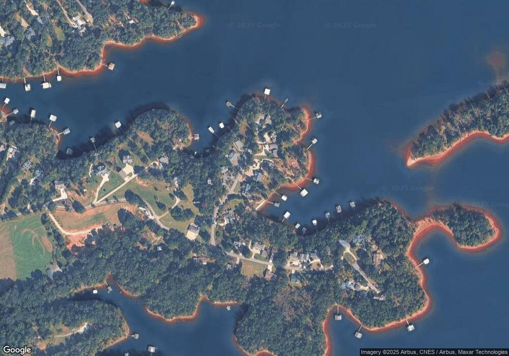
Map
Nearby Homes
- 67 Admiral Dr
- 133 Admiral Dr
- 0 Sidney Point Unit PHASE II
- LOT 17 Sidney Point
- 1047 Tranquility Ln
- 819 Tranquility Ln
- 142 C & C Cir
- 149 Foxtail Dr
- 590 Rainbow Dr
- 0 Bramblewood Dr Unit 20288802
- 0 Crawfords Ferry Point Unit 10663378
- LOT E Majestic Shores Dr
- 158 Creekwood Rd
- LOT 9 Majestic Shores Trail
- Lot 25 Majestic Shores Trail
- LOT 23 Majestic Shores Ln
- LOT 22 Majestic Shores Ln
- LOT 22 Majestic Shores Rd
- LOT 25 Majestic Shores Rd
- LOT 13 Majestic Shores Rd
- 71 Apache Trail
- 118 Apache Trail
- 80 Apache Trail
- 115 Apache Trail
- 105 Apache Trail
- 124 Apache Trail
- 140 Apache Trail
- 53 Apache Trail
- 145 Apache Trail
- 30 Apache Trail
- 160 Apache Trail
- 162 Apache Trail
- 387 Hidden Point Rd
- 389 Hidden Point Rd
- 503 Hidden Point Rd
- 450 Hidden Point Rd
- 515 Hidden Point Rd
- 541 Hidden Point Rd
- 564 Hidden Point Rd
- 561 Hidden Point Rd
Your Personal Tour Guide
Ask me questions while you tour the home.