100 Arapahoe Ln Carbondale, CO 81623
Estimated Value: $1,018,000 - $1,089,000
3
Beds
2
Baths
1,739
Sq Ft
$604/Sq Ft
Est. Value
About This Home
This home is located at 100 Arapahoe Ln, Carbondale, CO 81623 and is currently estimated at $1,049,847, approximately $603 per square foot. 100 Arapahoe Ln is a home located in Pitkin County.
Ownership History
Date
Name
Owned For
Owner Type
Purchase Details
Closed on
Dec 14, 2022
Sold by
Erickson Anne
Bought by
Staffan & Anne Erickson Revocable Living Trus
Current Estimated Value
Purchase Details
Closed on
Sep 7, 2021
Sold by
Watson James David and Watson Cherie Denise
Bought by
Cameron Frazier R and Cameron Jillian L
Home Financials for this Owner
Home Financials are based on the most recent Mortgage that was taken out on this home.
Original Mortgage
$500,762
Interest Rate
2.8%
Mortgage Type
FHA
Create a Home Valuation Report for This Property
The Home Valuation Report is an in-depth analysis detailing your home's value as well as a comparison with similar homes in the area
Home Values in the Area
Average Home Value in this Area
Purchase History
| Date | Buyer | Sale Price | Title Company |
|---|---|---|---|
| Staffan & Anne Erickson Revocable Living Trus | -- | -- | |
| Cameron Frazier R | $510,000 | Title Company Of The Rockies |
Source: Public Records
Mortgage History
| Date | Status | Borrower | Loan Amount |
|---|---|---|---|
| Previous Owner | Cameron Frazier R | $500,762 |
Source: Public Records
Tax History Compared to Growth
Tax History
| Year | Tax Paid | Tax Assessment Tax Assessment Total Assessment is a certain percentage of the fair market value that is determined by local assessors to be the total taxable value of land and additions on the property. | Land | Improvement |
|---|---|---|---|---|
| 2024 | $3,457 | $49,310 | $15,580 | $33,730 |
| 2023 | $3,457 | $52,490 | $16,590 | $35,900 |
| 2022 | $1,904 | $24,850 | $13,900 | $10,950 |
| 2021 | $1,862 | $24,770 | $14,300 | $10,470 |
| 2020 | $1,453 | $20,290 | $11,800 | $8,490 |
| 2019 | $1,453 | $20,290 | $11,800 | $8,490 |
| 2018 | $1,437 | $20,430 | $11,880 | $8,550 |
| 2017 | $1,319 | $19,870 | $11,880 | $7,990 |
| 2016 | $1,452 | $21,420 | $12,340 | $9,080 |
| 2015 | $1,472 | $21,420 | $12,340 | $9,080 |
| 2014 | $1,168 | $18,340 | $11,140 | $7,200 |
Source: Public Records
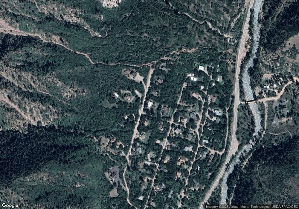
Map
Nearby Homes
- 11283 Highway 133
- 135 Irwin Dr
- 900 Dorais Way
- 116 S Bill Creek Rd
- 250 E Creek Rd
- TBD Coal Creek Rd
- 450 Coal Creek Rd
- TBD Elk Mountain Dr
- 389 Elk Mountain Dr
- 251 Chair Mountain Dr
- 175 Bison Ln
- 175 Big Horn Ln
- 315 Forest Service Rd
- 1625 Prince Creek Rd
- 1634 Prince Creek Rd
- 6889 Capitol Creek Rd
- 1644 Prince Creek Rd
- 860 Perry Ridge
- 6855 Capitol Creek Rd
- 777 Old Herron Rd
- 80 Arapahoe Ln
- 266 Cherokee Ln
- 225 Cherokee Ln
- 225 Cherokee Ln
- 300 Cherokee Ln
- 186 Cherokee Ln
- 155 Cherokee Ln
- 157 Apache Trail
- 176 Apache Trail
- 60 Arapahoe Ln
- 287 Ute Trail
- 314 Cherokee Ln
- 321 Ute Trail
- 158 Apache Trail
- 268 Apache Trail Unit Aka 339 Ute Trail
- 268 Apache Trail
- 160 Cherokee Ln
- 125 Apache Trail
- 8 Arapahoe Ln
- 139 Cherokee Ln