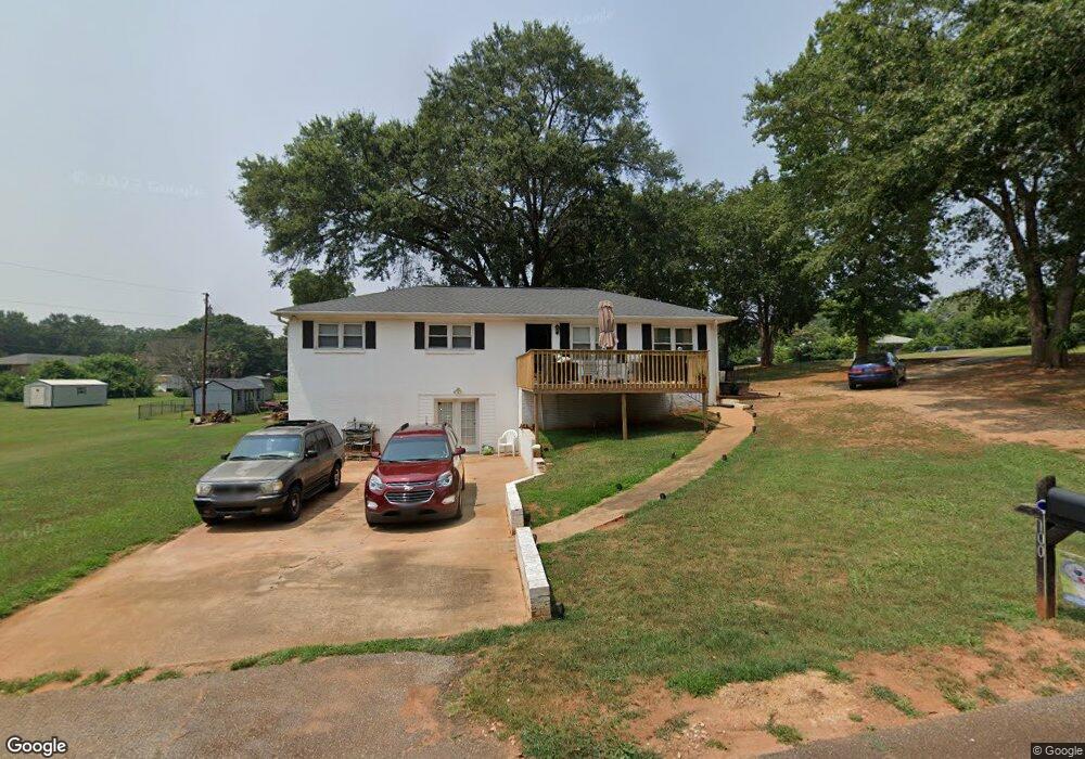
100 Arrowood Dr Anderson, SC 29626
Estimated Value: $220,707 - $273,000
3
Beds
2
Baths
1,300
Sq Ft
$181/Sq Ft
Est. Value
About This Home
This home is located at 100 Arrowood Dr, Anderson, SC 29626 and is currently estimated at $234,677, approximately $180 per square foot. 100 Arrowood Dr is a home located in Anderson County with nearby schools including McLees Elementary School, Robert Anderson Middle School, and Westside High School.
Ownership History
Date
Name
Owned For
Owner Type
Purchase Details
Closed on
May 12, 2010
Sold by
Crane Lawrence W
Bought by
Kay Tillie Mae Alexander and Kay Michael J
Current Estimated Value
Home Financials for this Owner
Home Financials are based on the most recent Mortgage that was taken out on this home.
Original Mortgage
$99,170
Outstanding Balance
$67,917
Interest Rate
5.5%
Mortgage Type
FHA
Estimated Equity
$166,760
Purchase Details
Closed on
Nov 11, 2008
Sold by
Citifinancial Inc
Bought by
Crane Lawrence W
Purchase Details
Closed on
Sep 24, 2008
Sold by
Powell Michael T
Bought by
Citifinancial Inc
Create a Home Valuation Report for This Property
The Home Valuation Report is an in-depth analysis detailing your home's value as well as a comparison with similar homes in the area
Home Values in the Area
Average Home Value in this Area
Purchase History
| Date | Buyer | Sale Price | Title Company |
|---|---|---|---|
| Kay Tillie Mae Alexander | $101,000 | -- | |
| Crane Lawrence W | $45,000 | -- | |
| Citifinancial Inc | $74,900 | -- |
Source: Public Records
Mortgage History
| Date | Status | Borrower | Loan Amount |
|---|---|---|---|
| Open | Kay Tillie Mae Alexander | $99,170 |
Source: Public Records
Tax History
| Year | Tax Paid | Tax Assessment Tax Assessment Total Assessment is a certain percentage of the fair market value that is determined by local assessors to be the total taxable value of land and additions on the property. | Land | Improvement |
|---|---|---|---|---|
| 2024 | $638 | $4,980 | $600 | $4,380 |
| 2023 | $639 | $4,980 | $600 | $4,380 |
| 2022 | $608 | $4,980 | $600 | $4,380 |
| 2021 | $558 | $4,300 | $400 | $3,900 |
| 2020 | $551 | $4,300 | $400 | $3,900 |
| 2019 | $551 | $4,300 | $400 | $3,900 |
| 2018 | $560 | $4,300 | $400 | $3,900 |
| 2017 | -- | $4,300 | $400 | $3,900 |
| 2016 | $538 | $4,050 | $300 | $3,750 |
| 2015 | $548 | $4,050 | $300 | $3,750 |
| 2014 | $543 | $4,050 | $300 | $3,750 |
Source: Public Records
Map
Nearby Homes
- 1010 Bern Cir
- 109 Cloverdale Dr
- 0 Cloverdale Dr
- Lot 1 Cloverdale Dr
- 0 Marshall Rd
- 231 Greenmeadow Cir
- 221 Greenland Rd
- 202 Hazelwood Ave
- 636 Jasmin Dr
- 3824 Dobbins Bridge Rd
- 3022 Sunset Forest Rd
- 318 Fretwell Dr
- 656 Masters Blvd
- 118 Doris Ave
- 110 Stone Creek Dr
- 2521 W Whitner St
- 410, 426,& 436 Cleveland Rd
- 115 Hillcrest Cir
- 114 Hillcrest Cir
- 112 Tabitha Ct Unit 1,2,3 and 4
- 1103 Bern Cir
- 102 Arrowood Dr
- 102 Cloverdale Dr
- 1027 Bern Cir
- 1102 Bern Cir
- 103 Cloverdale Dr
- 103 Arrowood Dr
- 205 Meadowbrook Dr
- 1104 Bern Cir
- 203 Meadowbrook Dr
- 1024 Bern Cir
- 201 Meadowbrook Dr
- 301 Meadowbrook Dr
- 1105 Bern Cir
- 00 Meadowbrook Dr
- 113 Meadowbrook Dr
- 1012 Bern Cir
- 1106 Bern Cir
- 303 Meadowbrook Dr
- 1107 Bern Cir