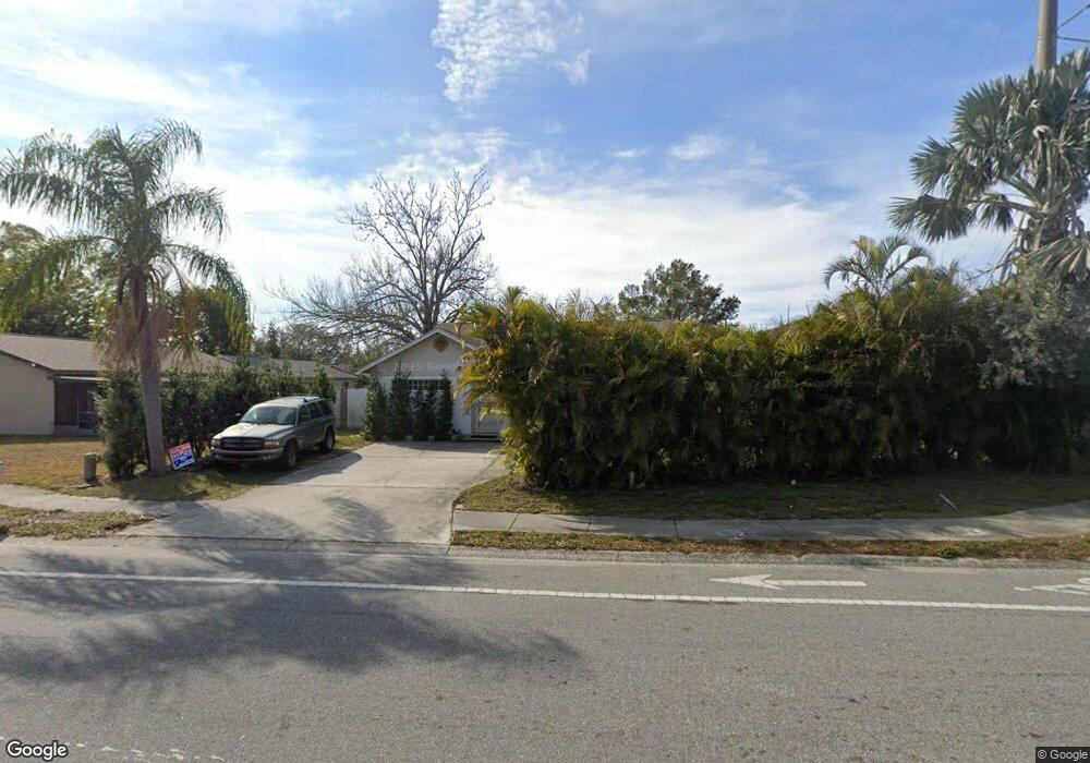
100 Bayside Blvd Oldsmar, FL 34677
Estimated Value: $340,000 - $385,042
Studio
2
Baths
1,644
Sq Ft
$222/Sq Ft
Est. Value
About This Home
This home is located at 100 Bayside Blvd, Oldsmar, FL 34677 and is currently estimated at $365,261, approximately $222 per square foot. 100 Bayside Blvd is a home located in Pinellas County with nearby schools including Oldsmar Elementary School, East Lake High School, and Joseph L. Carwise Middle School.
Ownership History
Date
Name
Owned For
Owner Type
Purchase Details
Closed on
May 2, 1995
Sold by
Pester Robert R
Bought by
State Fl Dept Transportation
Current Estimated Value
Purchase Details
Closed on
Apr 3, 1995
Sold by
U S Home Corp
Bought by
State Fl Dept Transportation
Purchase Details
Closed on
Aug 31, 1994
Sold by
Hicks Mary M
Bought by
Adler Albert E and Adler Kathleen L
Create a Home Valuation Report for This Property
The Home Valuation Report is an in-depth analysis detailing your home's value as well as a comparison with similar homes in the area
Home Values in the Area
Average Home Value in this Area
Purchase History
| Date | Buyer | Sale Price | Title Company |
|---|---|---|---|
| State Fl Dept Transportation | -- | -- | |
| State Fl Dept Transportation | -- | -- | |
| Adler Albert E | $61,500 | -- |
Source: Public Records
Mortgage History
| Date | Status | Borrower | Loan Amount |
|---|---|---|---|
| Open | Adler Albert E | $18,000 | |
| Open | Adler Albert E | $79,000 |
Source: Public Records
Tax History
| Year | Tax Paid | Tax Assessment Tax Assessment Total Assessment is a certain percentage of the fair market value that is determined by local assessors to be the total taxable value of land and additions on the property. | Land | Improvement |
|---|---|---|---|---|
| 2025 | $1,269 | $131,200 | -- | -- |
| 2024 | $1,233 | $127,502 | -- | -- |
| 2023 | $1,233 | $123,788 | $0 | $0 |
| 2022 | $1,179 | $120,183 | $0 | $0 |
| 2021 | $1,184 | $116,683 | $0 | $0 |
| 2020 | $1,174 | $115,072 | $0 | $0 |
| 2019 | $1,140 | $112,485 | $0 | $0 |
| 2018 | $1,114 | $110,388 | $0 | $0 |
| 2017 | $1,095 | $108,118 | $0 | $0 |
| 2016 | $1,077 | $105,894 | $0 | $0 |
| 2015 | $1,038 | $102,147 | $0 | $0 |
| 2014 | -- | $104,227 | $0 | $0 |
Source: Public Records
Map
Nearby Homes
- 83 Pelican Dr N
- 108 Dolphin Dr E
- 101 Dolphin Dr N
- 163 Dolphin Dr E
- 600 S Woodlands Dr
- 121 Dolphin Dr S
- 123 Dolphin Dr S
- 145 Blue Marlin Dr
- 240 Tads Trail
- 403 Blue Marlin Dr
- 238 Pelican Dr N
- 257 Pelican Dr N
- 192 Blue Marlin Dr
- 433 Sailfish Blvd
- 427 Pelican Dr S
- 428 Pelican Dr S
- 472 Trout Ln
- 358 Lake Way
- 223 Dolphin Dr N
- 433 Tangerine Dr
- 2000 Mandalay Ct
- 2002 Mandalay Ct
- 2006 Mandalay Ct
- 2004 Mandalay Ct
- 103 Bayside Blvd
- 2008 Mandalay Ct
- 105 Bayside Blvd
- 107 Bayside Blvd
- 2001 Mandalay Ct
- 2003 Mandalay Ct
- 2005 Mandalay Ct
- 2010 Mandalay Ct
- 109 Bayside Blvd
- 3163 Curlew Rd
- 2012 Mandalay Ct
- 2009 Mandalay Ct
- 201 Bayside Blvd
- 2013 Mandalay Ct
- 2000 Donegal Ct
- 2011 Mandalay Ct
Your Personal Tour Guide
Ask me questions while you tour the home.