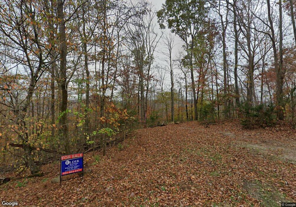
100 Bohart Ln Byrdstown, TN 38549
Estimated Value: $159,000 - $205,000
--
Bed
--
Bath
608
Sq Ft
$306/Sq Ft
Est. Value
About This Home
This home is located at 100 Bohart Ln, Byrdstown, TN 38549 and is currently estimated at $185,775, approximately $305 per square foot. 100 Bohart Ln is a home located in Pickett County with nearby schools including Pickett County Elementary School and Pickett County High School.
Ownership History
Date
Name
Owned For
Owner Type
Purchase Details
Closed on
Dec 13, 2024
Sold by
Bohart Michael
Bought by
Griego Trust and Griego
Current Estimated Value
Purchase Details
Closed on
Apr 19, 2024
Sold by
Bohart Mark and Bohart Fate James
Bought by
Bohart Michael
Purchase Details
Closed on
Sep 12, 2016
Sold by
Bohart Jerry Dale
Bought by
Kalbacher Thomas and Kalbacher Stephanie
Purchase Details
Closed on
Sep 1, 2016
Sold by
Bohart Jerry Dale
Bought by
Bohart Jerry Dale
Purchase Details
Closed on
Sep 15, 1990
Bought by
Bohart Jerry Dale
Create a Home Valuation Report for This Property
The Home Valuation Report is an in-depth analysis detailing your home's value as well as a comparison with similar homes in the area
Home Values in the Area
Average Home Value in this Area
Purchase History
| Date | Buyer | Sale Price | Title Company |
|---|---|---|---|
| Griego Trust | $204,600 | Capstone Title And Escrow | |
| Bohart Michael | -- | None Listed On Document | |
| Bohart Michael | -- | None Listed On Document | |
| Kalbacher Thomas | $45,000 | -- | |
| Bohart Jerry Dale | -- | -- | |
| Bohart Jerry Dale | $7,300 | -- |
Source: Public Records
Tax History Compared to Growth
Tax History
| Year | Tax Paid | Tax Assessment Tax Assessment Total Assessment is a certain percentage of the fair market value that is determined by local assessors to be the total taxable value of land and additions on the property. | Land | Improvement |
|---|---|---|---|---|
| 2025 | $587 | $34,325 | $0 | $0 |
| 2024 | $587 | $34,325 | $30,150 | $4,175 |
| 2023 | $586 | $34,325 | $30,150 | $4,175 |
| 2022 | $777 | $32,225 | $28,700 | $3,525 |
| 2021 | $777 | $32,225 | $28,700 | $3,525 |
| 2020 | $793 | $32,225 | $28,700 | $3,525 |
| 2019 | $793 | $32,225 | $28,700 | $3,525 |
| 2018 | $554 | $32,225 | $28,700 | $3,525 |
| 2017 | $464 | $24,800 | $23,425 | $1,375 |
| 2016 | $498 | $26,650 | $25,275 | $1,375 |
| 2015 | $498 | $31,043 | $0 | $0 |
| 2014 | $581 | $31,043 | $0 | $0 |
Source: Public Records
Map
Nearby Homes
- 566 Mallard Pointe Rd
- 5513 Cove Creek Rd
- 1020 Center Ln
- 1007 Eastridge Dr
- 308 Cosby Parris Rd
- 502 Midnight Dr
- 572 Lakeside Rd
- 0 Midnight Dr
- 122 Abby Ln
- 158 Bob Neal Ln
- 0 Keisling Ridge Rd Unit LotWP001 21177271
- 0 Keisling Ridge Rd Unit RTC2823717
- 0 Keisling Ridge Rd
- 0 Red Bud Rd
- 4550 Southgate Rd
- 0 Odell Jolly Rd
- 230 Storyland Dr
- 435 Taylor Rd
- 1030 Red Bud Rd
- 504 Deer Ridge Rd
- 141 Cove Creek Estate
- 135 Cove Creek Estates
- 00 Cove Creek Estates
- lot 10 Cove Creek Estates
- Lot #10 Cove Creek Estates
- 87 Bohart Ln
- 147 Cove Creek Estate
- 140 Turkey Ln
- Lot 4 Eagle Creek Estates
- 0 Lot 4 Eagle Creek Estates Unit LOT 4
- 140 Cove Creek Estate
- 112 Cove Creek Estate
- 112 Cove Creek Estate
- 140 Cove Creek Estates
- 150 Cove Creek Estate
- 150 Cove Creek Estate
- 150 Cove Creek Estate
- 150 Cove Creek Estates
- 148 Cove Creek Estates
- 75 Bohart Ln