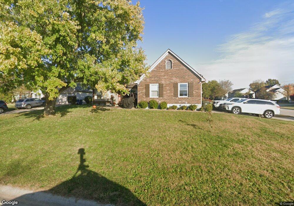
100 Bronte Place Unit 1 Georgetown, KY 40324
Bradford Place NeighborhoodEstimated Value: $281,000 - $297,000
3
Beds
2
Baths
1,564
Sq Ft
$186/Sq Ft
Est. Value
About This Home
This home is located at 100 Bronte Place Unit 1, Georgetown, KY 40324 and is currently estimated at $290,521, approximately $185 per square foot. 100 Bronte Place Unit 1 is a home located in Scott County with nearby schools including Southern Elementary School, Creekside Elementary School, and Georgetown Middle School.
Ownership History
Date
Name
Owned For
Owner Type
Purchase Details
Closed on
Jul 9, 2014
Sold by
Rogowski Jerome A and Rogowski Judith
Bought by
Kinney Lonnie R
Current Estimated Value
Home Financials for this Owner
Home Financials are based on the most recent Mortgage that was taken out on this home.
Original Mortgage
$140,714
Outstanding Balance
$107,222
Interest Rate
4.17%
Mortgage Type
New Conventional
Estimated Equity
$183,299
Create a Home Valuation Report for This Property
The Home Valuation Report is an in-depth analysis detailing your home's value as well as a comparison with similar homes in the area
Home Values in the Area
Average Home Value in this Area
Purchase History
| Date | Buyer | Sale Price | Title Company |
|---|---|---|---|
| Kinney Lonnie R | $137,900 | Executive Title Company |
Source: Public Records
Mortgage History
| Date | Status | Borrower | Loan Amount |
|---|---|---|---|
| Open | Kinney Lonnie R | $140,714 |
Source: Public Records
Tax History Compared to Growth
Tax History
| Year | Tax Paid | Tax Assessment Tax Assessment Total Assessment is a certain percentage of the fair market value that is determined by local assessors to be the total taxable value of land and additions on the property. | Land | Improvement |
|---|---|---|---|---|
| 2024 | $1,969 | $218,900 | $0 | $0 |
| 2023 | $1,914 | $211,100 | $40,000 | $171,100 |
| 2022 | $1,615 | $190,000 | $33,000 | $157,000 |
| 2021 | $1,643 | $174,400 | $33,000 | $141,400 |
| 2020 | $1,351 | $157,200 | $33,000 | $124,200 |
| 2019 | $1,309 | $150,000 | $0 | $0 |
| 2018 | $1,261 | $145,350 | $0 | $0 |
| 2017 | $1,267 | $145,350 | $0 | $0 |
| 2016 | $1,110 | $137,900 | $0 | $0 |
| 2015 | $1,103 | $137,900 | $0 | $0 |
| 2014 | -- | $133,968 | $0 | $0 |
| 2011 | $83 | $133,968 | $0 | $0 |
Source: Public Records
Map
Nearby Homes
- 212 Pocahontas Trail
- 1117 Pawnee Trail
- 198 Hiawatha Trail
- 235 Ransom Trace
- 1115 Apache Trail
- 107 Oconner Ct
- 301 Aztec Trail
- 129 Irving Ln
- 151 Hemingway Place
- 217 Atwood Dr
- 115 Walden Cove
- 1020 Parkside Dr
- 412 Cheyenne Trail
- 500 Hiawatha Trail
- 110 Lovett Park Ln
- 900 Shoshoni Trail
- 128 Warren Pass
- 139 E Showalter Dr
- 102 Wharton Ct
- 1108 Beth Ct
- 100 Bronte Place
- 102 Bronte Place
- 110 Browning Dr
- 104 Bronte Place
- 115 Browning Dr
- 118 Browning Dr
- 111 Browning Dr
- 108 Browning Dr
- 117 Browning Dr
- 109 Browning Dr
- 104 Tennyson Cir
- 106 Bronte Place
- 102 Tennyson Cir
- 120 Browning Dr
- 103 Bronte Place
- 119 Browning Dr
- 106 Browning Dr
- 118 Dickinson Dr
- 120 Dickinson Dr
- 107 Browning Dr