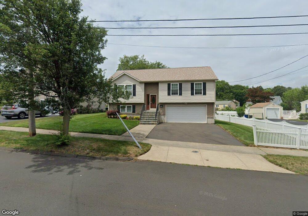
100 Burr St New Haven, CT 06512
The Center NeighborhoodEstimated Value: $331,000 - $377,000
4
Beds
2
Baths
1,243
Sq Ft
$290/Sq Ft
Est. Value
About This Home
This home is located at 100 Burr St, New Haven, CT 06512 and is currently estimated at $360,667, approximately $290 per square foot. 100 Burr St is a home located in New Haven County with nearby schools including East Haven High School, Cold Spring School, and Pathway School.
Ownership History
Date
Name
Owned For
Owner Type
Purchase Details
Closed on
Oct 28, 1999
Sold by
Andreozzi Nicholas J and Andreozzi Donna M
Bought by
Reinoso Juan and Reinoso Monica J
Current Estimated Value
Home Financials for this Owner
Home Financials are based on the most recent Mortgage that was taken out on this home.
Original Mortgage
$105,000
Interest Rate
7.88%
Purchase Details
Closed on
May 17, 1991
Sold by
Solevo Ronald and Solevo Nancy
Bought by
Andreozzi Nicholas J and Gandossy Donna M
Home Financials for this Owner
Home Financials are based on the most recent Mortgage that was taken out on this home.
Original Mortgage
$114,900
Interest Rate
9.4%
Mortgage Type
Unknown
Create a Home Valuation Report for This Property
The Home Valuation Report is an in-depth analysis detailing your home's value as well as a comparison with similar homes in the area
Home Values in the Area
Average Home Value in this Area
Purchase History
| Date | Buyer | Sale Price | Title Company |
|---|---|---|---|
| Reinoso Juan | $140,000 | -- | |
| Andreozzi Nicholas J | $129,900 | -- |
Source: Public Records
Mortgage History
| Date | Status | Borrower | Loan Amount |
|---|---|---|---|
| Open | Solevo Ronald | $757,500 | |
| Closed | Solevo Ronald | $105,000 | |
| Previous Owner | Solevo Ronald | $112,000 | |
| Previous Owner | Solevo Ronald | $114,900 |
Source: Public Records
Tax History Compared to Growth
Tax History
| Year | Tax Paid | Tax Assessment Tax Assessment Total Assessment is a certain percentage of the fair market value that is determined by local assessors to be the total taxable value of land and additions on the property. | Land | Improvement |
|---|---|---|---|---|
| 2025 | $5,400 | $161,490 | $46,060 | $115,430 |
| 2024 | $5,400 | $161,490 | $46,060 | $115,430 |
| 2023 | $4,962 | $159,040 | $46,060 | $112,980 |
| 2022 | $4,962 | $159,040 | $46,060 | $112,980 |
| 2021 | $4,233 | $123,600 | $39,000 | $84,600 |
| 2020 | $4,233 | $123,600 | $39,000 | $84,600 |
| 2019 | $4,007 | $123,600 | $39,000 | $84,600 |
| 2018 | $4,011 | $123,600 | $39,000 | $84,600 |
| 2017 | $3,900 | $123,600 | $39,000 | $84,600 |
| 2016 | $4,071 | $129,030 | $46,090 | $82,940 |
| 2015 | $4,071 | $129,030 | $46,090 | $82,940 |
| 2014 | $4,135 | $129,030 | $46,090 | $82,940 |
Source: Public Records
Map
Nearby Homes
- 31 Forest St
- 133 Charter Oak Ave
- 675 Townsend Ave Unit 155
- 18 Elizabeth Ann Dr
- 28 County Walk Ln Unit 28
- 30 Bradley Ave
- 44 French Ave
- 2 Horsley Ave
- 48 Bishop St
- 100 Frank St
- 745 Townsend Ave Unit Lot 7
- 745 Townsend Ave Unit Lot 8
- 745 Townsend Ave Unit Lot 10
- 745 Townsend Ave Unit Lot 4
- 745 Townsend Ave Unit Lot 1
- 745 Townsend Ave Unit Lot 9
- 745 Townsend Ave Unit Lot 5
- 745 Townsend Ave Unit Lot 2
- 520 Fort Hale Rd
- 2 Kirkham Ave