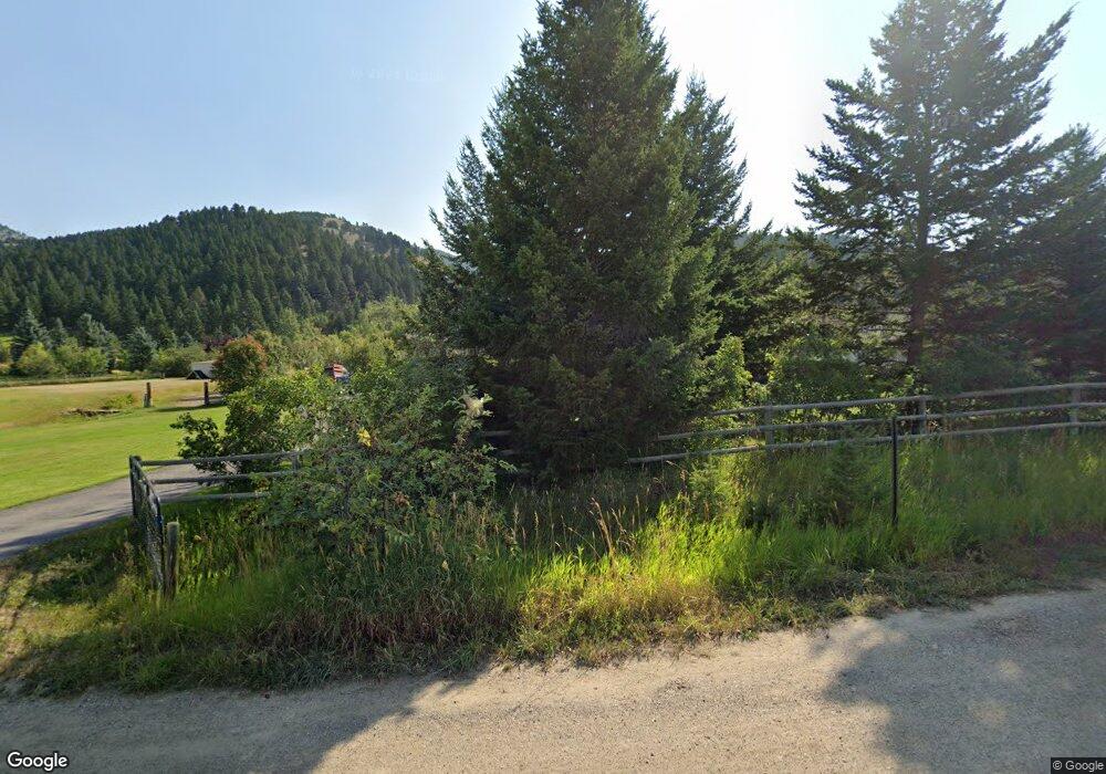
100 Churn Rd Bozeman, MT 59715
Estimated Value: $1,577,000 - $1,697,056
3
Beds
4
Baths
3,598
Sq Ft
$449/Sq Ft
Est. Value
About This Home
This home is located at 100 Churn Rd, Bozeman, MT 59715 and is currently estimated at $1,616,764, approximately $449 per square foot. 100 Churn Rd is a home located in Gallatin County with nearby schools including Hawthorne Elementary School, Chief Joseph Middle School, and Gallatin High School.
Ownership History
Date
Name
Owned For
Owner Type
Purchase Details
Closed on
Sep 15, 2006
Sold by
Cho Eugene and Kallstrom Marta
Bought by
Steadman Bryan L and Steadman Carol A
Current Estimated Value
Home Financials for this Owner
Home Financials are based on the most recent Mortgage that was taken out on this home.
Original Mortgage
$417,000
Outstanding Balance
$248,920
Interest Rate
6.56%
Mortgage Type
Unknown
Estimated Equity
$1,367,844
Create a Home Valuation Report for This Property
The Home Valuation Report is an in-depth analysis detailing your home's value as well as a comparison with similar homes in the area
Purchase History
| Date | Buyer | Sale Price | Title Company |
|---|---|---|---|
| Steadman Bryan L | -- | Stewart Title Of Bozeman |
Source: Public Records
Mortgage History
| Date | Status | Borrower | Loan Amount |
|---|---|---|---|
| Open | Steadman Bryan L | $417,000 |
Source: Public Records
Tax History
| Year | Tax Paid | Tax Assessment Tax Assessment Total Assessment is a certain percentage of the fair market value that is determined by local assessors to be the total taxable value of land and additions on the property. | Land | Improvement |
|---|---|---|---|---|
| 2025 | $7,380 | $1,629,000 | $0 | $0 |
| 2024 | $6,923 | $1,272,300 | $0 | $0 |
| 2023 | $6,683 | $1,272,300 | $0 | $0 |
| 2022 | $4,296 | $647,400 | $0 | $0 |
| 2021 | $4,778 | $647,400 | $0 | $0 |
| 2020 | $4,533 | $606,900 | $0 | $0 |
| 2019 | $4,455 | $606,900 | $0 | $0 |
| 2018 | $3,890 | $480,800 | $0 | $0 |
| 2017 | $3,720 | $480,800 | $0 | $0 |
| 2016 | $3,611 | $459,600 | $0 | $0 |
| 2015 | $3,601 | $459,600 | $0 | $0 |
| 2014 | $3,781 | $283,497 | $0 | $0 |
Source: Public Records
Map
Nearby Homes
- 8651 E Panorama Dr
- 8663 E Panorama Dr
- 8407 Little Gully Run
- 555 Glory Ln
- 7611 Sypes Canyon Rd
- 1055 Caddie Ct
- Lot 28 Cold Smoke Dr
- 557 St Andrews Dr
- 354 Brass Lantern Ct
- Lot 26 Little Wolf Rd
- 353 Little Wolf Rd
- 2506 Valhalla Ct
- 18 Moon Shadow Dr
- 1031 Boylan Rd
- 2503 Valhalla Ct
- 65 Naya-Nuki Dr
- 1719 Midfield St
- 1846 Chippewa Ln
- 2434 Richau Ln
- tbd Itana Cir
- 8940 Sypes Canyon Rd
- 120 Churn Rd
- 101 Churn Rd
- 8895 Sypes Canyon Rd
- 40 Sypes Creek Ct
- 9000 Sandy Creek Ln
- 8963 Sypes Canyon Rd
- 80 El Camino Way
- 8959 Sandy Creek Ln
- 89 Sypes Creek Ct
- 8799 Sypes Canyon Rd
- 8782 Sypes Canyon Rd
- 9005 Sypes Canyon Rd
- TBD Sandy Creek Ln
- 150 Sypes Creek Ct
- 9000 Sypes Canyon Rd
- Lot 8 Eclipse Dr
- 0 Sandy Creek Ln
- 8899 Sandy Creek Ln
- 141 El Camino Way
