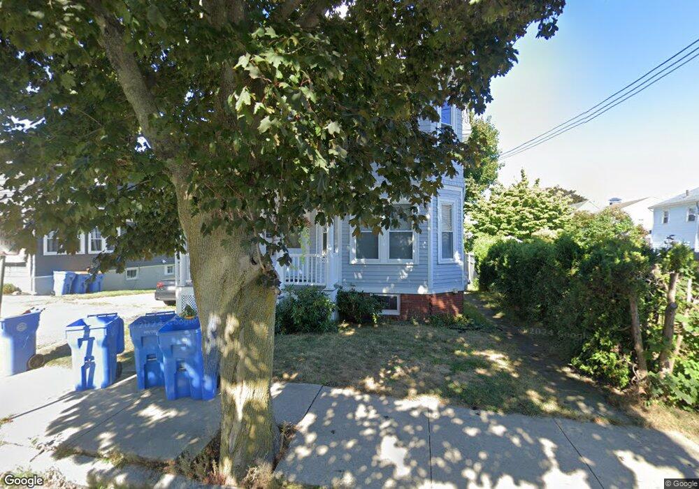
100 Cliff Ave Unit 2 Winthrop, MA 02152
Winthrop Highlands NeighborhoodEstimated Value: $717,000 - $858,000
2
Beds
1
Bath
1,500
Sq Ft
$513/Sq Ft
Est. Value
About This Home
This home is located at 100 Cliff Ave Unit 2, Winthrop, MA 02152 and is currently estimated at $770,127, approximately $513 per square foot. 100 Cliff Ave Unit 2 is a home located in Suffolk County with nearby schools including William P. Gorman/Fort Banks Elementary School, Arthur T. Cummings Elementary School, and Winthrop Middle School.
Ownership History
Date
Name
Owned For
Owner Type
Purchase Details
Closed on
Jul 3, 2023
Sold by
Festa Nicole L
Bought by
Festa Nicole L and Obrien James
Current Estimated Value
Purchase Details
Closed on
Aug 28, 2013
Sold by
Merta Michael and Merta Maureen
Bought by
Festa Nicole L
Home Financials for this Owner
Home Financials are based on the most recent Mortgage that was taken out on this home.
Original Mortgage
$337,250
Interest Rate
4.4%
Mortgage Type
New Conventional
Create a Home Valuation Report for This Property
The Home Valuation Report is an in-depth analysis detailing your home's value as well as a comparison with similar homes in the area
Home Values in the Area
Average Home Value in this Area
Purchase History
| Date | Buyer | Sale Price | Title Company |
|---|---|---|---|
| Festa Nicole L | -- | None Available | |
| Festa Nicole L | $355,000 | -- | |
| Festa Nicole L | $355,000 | -- |
Source: Public Records
Mortgage History
| Date | Status | Borrower | Loan Amount |
|---|---|---|---|
| Previous Owner | Festa Nicole L | $337,250 |
Source: Public Records
Tax History
| Year | Tax Paid | Tax Assessment Tax Assessment Total Assessment is a certain percentage of the fair market value that is determined by local assessors to be the total taxable value of land and additions on the property. | Land | Improvement |
|---|---|---|---|---|
| 2025 | $5,756 | $557,800 | $0 | $557,800 |
| 2024 | $5,708 | $547,800 | $0 | $547,800 |
| 2023 | $5,496 | $513,600 | $0 | $513,600 |
| 2022 | $5,804 | $493,500 | $0 | $493,500 |
| 2021 | $5,927 | $467,400 | $0 | $467,400 |
| 2020 | $5,722 | $453,400 | $0 | $453,400 |
| 2019 | $5,499 | $417,200 | $0 | $417,200 |
| 2018 | $5,535 | $390,900 | $0 | $390,900 |
| 2017 | $5,375 | $373,000 | $0 | $373,000 |
| 2016 | $5,240 | $340,900 | $0 | $340,900 |
| 2015 | $4,889 | $340,900 | $0 | $340,900 |
Source: Public Records
Map
Nearby Homes
- 47 Highland Ave
- 201 Cliff Ave
- 22 Upland Rd
- 43 Sagamore Ave Unit 1
- 3 Seal Harbor Rd Unit 344
- 3 Seal Harbor Rd Unit 133
- 1 Seal Harbor Rd Unit 210
- 1 Seal Harbor Rd Unit 701
- 140 Shirley St Unit 201
- 140 Shirley St Unit 309
- 140 Shirley St Unit 310
- 140 Shirley St Unit 204
- 130 Shirley St Unit 202
- 800 Governors Dr Unit 6
- 100 Governors Dr Unit 118
- 203 Winthrop Shore Dr Unit 2
- 441 Winthrop St
- 426 Winthrop St
- 50-52 Wilshire St
- 53 Trident Ave Unit 204
Your Personal Tour Guide
Ask me questions while you tour the home.