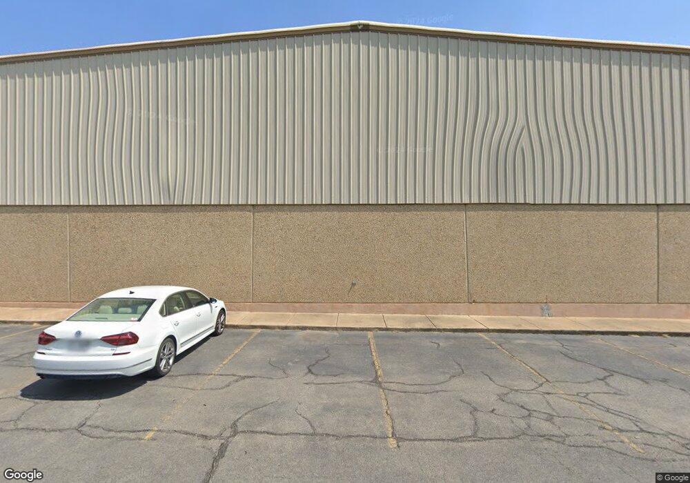
100 Exchange Ave Conway, AR 72032
East Conway NeighborhoodEstimated Value: $2,487,557
--
Bed
--
Bath
37,480
Sq Ft
$66/Sq Ft
Est. Value
About This Home
This home is located at 100 Exchange Ave, Conway, AR 72032 and is currently estimated at $2,487,557, approximately $66 per square foot. 100 Exchange Ave is a home located in Faulkner County with nearby schools including Bob Courtway Middle School, Ellen Smith Elementary School, and Conway Junior High School.
Ownership History
Date
Name
Owned For
Owner Type
Purchase Details
Closed on
Apr 17, 2021
Sold by
The Conway Land Company Llp
Bought by
Douglas Family Limited Liability Co
Current Estimated Value
Home Financials for this Owner
Home Financials are based on the most recent Mortgage that was taken out on this home.
Original Mortgage
$1,551,250
Outstanding Balance
$1,402,827
Interest Rate
3.1%
Mortgage Type
Future Advance Clause Open End Mortgage
Estimated Equity
$1,084,730
Purchase Details
Closed on
Apr 18, 1997
Bought by
Conway Land
Create a Home Valuation Report for This Property
The Home Valuation Report is an in-depth analysis detailing your home's value as well as a comparison with similar homes in the area
Home Values in the Area
Average Home Value in this Area
Purchase History
| Date | Buyer | Sale Price | Title Company |
|---|---|---|---|
| Douglas Family Limited Liability Co | $1,825,000 | Beach Abstract & Guaranty Co | |
| Conway Land | -- | -- |
Source: Public Records
Mortgage History
| Date | Status | Borrower | Loan Amount |
|---|---|---|---|
| Open | Douglas Family Limited Liability Co | $1,551,250 |
Source: Public Records
Tax History Compared to Growth
Tax History
| Year | Tax Paid | Tax Assessment Tax Assessment Total Assessment is a certain percentage of the fair market value that is determined by local assessors to be the total taxable value of land and additions on the property. | Land | Improvement |
|---|---|---|---|---|
| 2024 | $13,044 | $356,550 | $131,990 | $224,560 |
| 2023 | $11,858 | $234,350 | $131,990 | $102,360 |
| 2022 | $11,858 | $234,350 | $131,990 | $102,360 |
| 2021 | $11,858 | $234,350 | $131,990 | $102,360 |
| 2020 | $12,006 | $237,270 | $131,990 | $105,280 |
| 2019 | $12,006 | $237,270 | $131,990 | $105,280 |
| 2018 | $11,494 | $237,270 | $131,990 | $105,280 |
| 2017 | $10,610 | $237,270 | $131,990 | $105,280 |
| 2016 | $9,726 | $192,210 | $131,990 | $60,220 |
| 2015 | $8,842 | $174,740 | $45,750 | $128,990 |
| 2014 | $8,842 | $174,740 | $45,750 | $128,990 |
Source: Public Records
Map
Nearby Homes
- 2100 Mary Alice Dr
- 140 Commerce Rd
- 2.2 Acres Amity Rd
- 140 Commerce and Harkrider
- 440 Bernard Dr
- 22 Southerland Rd
- 00 Fourth Ave
- 2515 E Oak St
- 2510 E Oak St
- 00 Museum Rd
- 60 Sandpiper Ct
- 514 1st St
- 1263 Ingram St
- 7 Jonathan Dr
- 1500 Carillon Ln
- 212 Oliver St
- 520 Evening Dr
- 2130 Shade Tree Dr
- 1660 Sweetspire Dr
- 1005 Dave Ward Dr
- 0 Exchange Ave
- 170 Exchange Ave
- 985 Runway Dr
- 940 Runway Dr
- 980 Runway Ave
- 0 Runway Dr Unit 15025317
- 500 Amity Rd Unit Suite 1
- Tract 2 Middle Rd
- 9th Ave
- 750 9th Ave
- 2140 Eldridge Ln
- 2145 Eldridge Ln
- 00 Pritchwood Farm Rd
- 100 Amity Rd
- 480 S Amity Rd
- 101 E Robins St
- 410 Commerce Rd
- 310 Amity Rd Unit Commercial Building
- 137 Grand Falls
- 157 Grand Falls
