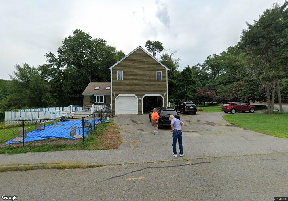
100 Goodale Rd Marlborough, MA 01752
Estimated Value: $1,031,050 - $1,209,000
4
Beds
3
Baths
3,884
Sq Ft
$290/Sq Ft
Est. Value
About This Home
This home is located at 100 Goodale Rd, Marlborough, MA 01752 and is currently estimated at $1,125,013, approximately $289 per square foot. 100 Goodale Rd is a home located in Middlesex County with nearby schools including Marlborough High School, New Covenant Christian School, and Darnell School For Educational & Behavioral Service.
Ownership History
Date
Name
Owned For
Owner Type
Purchase Details
Closed on
Apr 25, 1997
Sold by
Cheyenne Rt
Bought by
Bates Paul S and Labert-Bates Julie A
Current Estimated Value
Purchase Details
Closed on
Dec 22, 1995
Sold by
Cambridge Sb
Bought by
Cheyenne Rt
Purchase Details
Closed on
Jun 20, 1995
Sold by
Shirazi Gholam-Reza
Bought by
Cambridge Sb
Create a Home Valuation Report for This Property
The Home Valuation Report is an in-depth analysis detailing your home's value as well as a comparison with similar homes in the area
Home Values in the Area
Average Home Value in this Area
Purchase History
| Date | Buyer | Sale Price | Title Company |
|---|---|---|---|
| Bates Paul S | $279,900 | -- | |
| Cheyenne Rt | $255,000 | -- | |
| Cambridge Sb | $280,000 | -- |
Source: Public Records
Mortgage History
| Date | Status | Borrower | Loan Amount |
|---|---|---|---|
| Open | Cambridge Sb | $370,000 |
Source: Public Records
Tax History Compared to Growth
Tax History
| Year | Tax Paid | Tax Assessment Tax Assessment Total Assessment is a certain percentage of the fair market value that is determined by local assessors to be the total taxable value of land and additions on the property. | Land | Improvement |
|---|---|---|---|---|
| 2025 | $9,819 | $995,800 | $242,100 | $753,700 |
| 2024 | $9,449 | $922,800 | $220,300 | $702,500 |
| 2023 | $9,269 | $803,200 | $191,100 | $612,100 |
| 2022 | $8,903 | $678,600 | $182,400 | $496,200 |
| 2021 | $8,691 | $629,800 | $152,800 | $477,000 |
| 2020 | $8,545 | $602,600 | $145,800 | $456,800 |
| 2019 | $8,252 | $586,500 | $143,200 | $443,300 |
| 2018 | $8,298 | $567,200 | $132,300 | $434,900 |
| 2017 | $8,745 | $570,800 | $134,500 | $436,300 |
| 2016 | $8,730 | $569,100 | $134,500 | $434,600 |
| 2015 | $8,652 | $549,000 | $135,900 | $413,100 |
Source: Public Records
Map
Nearby Homes
- 168 Blanchette Dr
- 618 Sudbury St
- 17 Mcneil Cir
- 57 Melody Ln
- 3 Stonehill Rd
- 33A Russo Dr
- 492 Stow Rd
- 397 Stow Rd
- 28 Stetson Dr
- 25 Knight Way
- 256 Robert Rd
- 9 & 9A Abigail
- 114 Linda Cir
- 4 Gately Ave
- 16 Abigail Dr
- 14 Old County Rd Unit 21
- 10 Old County Rd Unit 19
- 1 Town Line Rd
- 1 Town Line Rd Unit 18
- 502 Hosmer St