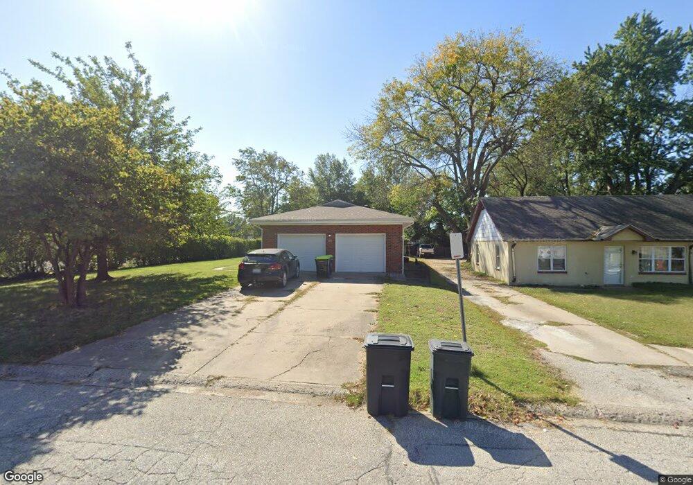
100 Grant Dr Warrensburg, MO 64093
Estimated Value: $225,000 - $345,000
Studio
--
Bath
2,400
Sq Ft
$113/Sq Ft
Est. Value
About This Home
This home is located at 100 Grant Dr, Warrensburg, MO 64093 and is currently estimated at $271,416, approximately $113 per square foot. 100 Grant Dr is a home located in Johnson County with nearby schools including Maple Grove Elementary School, Martin Warren Elementary School, and Warrensburg Middle School.
Ownership History
Date
Name
Owned For
Owner Type
Purchase Details
Closed on
May 13, 2024
Sold by
Purvis Shawn and Purvis Jill
Bought by
Purvis Investments Llc
Current Estimated Value
Purchase Details
Closed on
May 20, 2021
Sold by
Tnt Rentals Llc
Bought by
Pruvis Shawn
Purchase Details
Closed on
Jun 28, 2005
Sold by
Mudd Lucy C and Mudd Billy P
Bought by
Marroon Russell Francis
Home Financials for this Owner
Home Financials are based on the most recent Mortgage that was taken out on this home.
Original Mortgage
$89,381
Interest Rate
5%
Mortgage Type
VA
Create a Home Valuation Report for This Property
The Home Valuation Report is an in-depth analysis detailing your home's value as well as a comparison with similar homes in the area
Home Values in the Area
Average Home Value in this Area
Purchase History
| Date | Buyer | Sale Price | Title Company |
|---|---|---|---|
| Purvis Investments Llc | -- | None Listed On Document | |
| Pruvis Shawn | -- | Truman Title Inc | |
| Marroon Russell Francis | -- | None Available |
Source: Public Records
Mortgage History
| Date | Status | Borrower | Loan Amount |
|---|---|---|---|
| Previous Owner | Marroon Russell Francis | $89,381 |
Source: Public Records
Tax History
| Year | Tax Paid | Tax Assessment Tax Assessment Total Assessment is a certain percentage of the fair market value that is determined by local assessors to be the total taxable value of land and additions on the property. | Land | Improvement |
|---|---|---|---|---|
| 2024 | $1,349 | $17,671 | $0 | $0 |
| 2023 | $1,349 | $17,671 | $0 | $0 |
| 2022 | $1,302 | $16,978 | $0 | $0 |
| 2021 | $1,298 | $16,978 | $0 | $0 |
| 2020 | $1,258 | $16,284 | $0 | $0 |
| 2019 | $1,257 | $16,284 | $0 | $0 |
| 2017 | $1,255 | $16,284 | $0 | $0 |
| 2016 | $1,156 | $16,284 | $0 | $0 |
| 2015 | $1,187 | $16,284 | $0 | $0 |
| 2014 | -- | $16,284 | $0 | $0 |
Source: Public Records
Map
Nearby Homes
- 0 Business 13 Hwy
- 813 S Maguire St
- 117 Meadow Ln
- 901 S Holden St
- 323 Hamilton St
- 428 Swallow N A
- 311 Franklin Ave
- 317 E Hale Lake Rd
- 503 Quail Trail
- 414 Franklin St
- 709 S Holden St
- 611 S Maguire St
- 530 Hamilton St
- 1106 S Mitchell St
- 991 S Mitchell St
- 315 Goodrich Dr
- 221 Broad St
- 612 Christopher St
- 317 Jones Ave
- 21 SE 130 Rd
Your Personal Tour Guide
Ask me questions while you tour the home.