100 Grassy Mountain Rd White Sulphur Springs, MT 59645
Estimated Value: $1,052,000 - $1,416,488
2
Beds
2
Baths
10,552
Sq Ft
$111/Sq Ft
Est. Value
About This Home
This home is located at 100 Grassy Mountain Rd, White Sulphur Springs, MT 59645 and is currently estimated at $1,176,163, approximately $111 per square foot. 100 Grassy Mountain Rd is a home located in Meagher County with nearby schools including White Sulphur Springs High School.
Ownership History
Date
Name
Owned For
Owner Type
Purchase Details
Closed on
Jul 14, 2022
Sold by
Ioerger M J W
Bought by
Grassy Mountain Ranch Llc
Current Estimated Value
Home Financials for this Owner
Home Financials are based on the most recent Mortgage that was taken out on this home.
Original Mortgage
$857,500
Outstanding Balance
$762,588
Interest Rate
3.96%
Mortgage Type
Construction
Estimated Equity
$413,575
Purchase Details
Closed on
Jan 21, 2003
Bought by
Ioerger Joleen M and Ioerger George
Create a Home Valuation Report for This Property
The Home Valuation Report is an in-depth analysis detailing your home's value as well as a comparison with similar homes in the area
Home Values in the Area
Average Home Value in this Area
Purchase History
| Date | Buyer | Sale Price | Title Company |
|---|---|---|---|
| Grassy Mountain Ranch Llc | $1,071,875 | First American Title | |
| Ioerger Joleen M | -- | -- |
Source: Public Records
Mortgage History
| Date | Status | Borrower | Loan Amount |
|---|---|---|---|
| Open | Grassy Mountain Ranch Llc | $857,500 |
Source: Public Records
Tax History Compared to Growth
Tax History
| Year | Tax Paid | Tax Assessment Tax Assessment Total Assessment is a certain percentage of the fair market value that is determined by local assessors to be the total taxable value of land and additions on the property. | Land | Improvement |
|---|---|---|---|---|
| 2025 | $9,862 | $1,199,692 | $0 | $0 |
| 2024 | $10,879 | $1,232,079 | $0 | $0 |
| 2023 | $10,950 | $1,140,101 | $0 | $0 |
| 2022 | $9,339 | $850,949 | $0 | $0 |
| 2021 | $8,515 | $881,013 | $0 | $0 |
| 2020 | $10,137 | $829,881 | $0 | $0 |
| 2019 | $10,110 | $829,881 | $0 | $0 |
| 2018 | $8,842 | $704,264 | $0 | $0 |
| 2017 | $9,014 | $704,264 | $0 | $0 |
| 2016 | $9,050 | $713,654 | $0 | $0 |
| 2015 | $6,351 | $717,183 | $0 | $0 |
| 2014 | $5,444 | $441,172 | $0 | $0 |
Source: Public Records
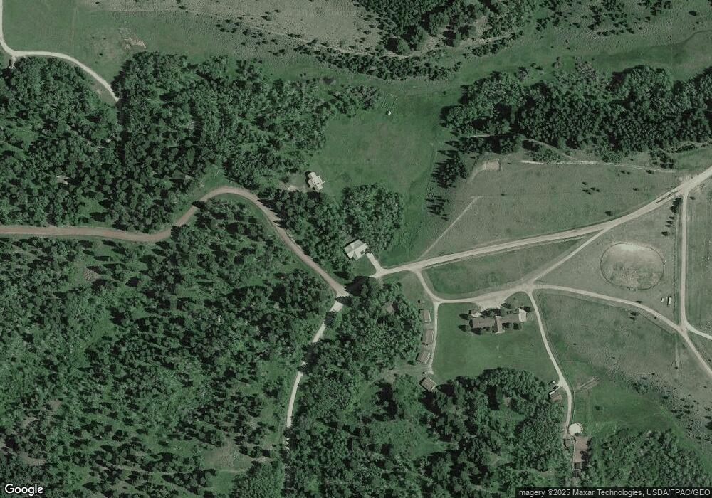
Map
Nearby Homes
- 4 Pine Hill Dr
- 0 N Fork Deep Creek
- 118 Panorama Dr
- 45 Mountainview Trail
- 40 Mountain View Trail
- 64 Mountain View Trail
- Tbd Upper Deep Creek
- 58 Mountain View Trail
- 199 Mountain View Trail
- 135 Panorama Dr
- 200 Mike Day Dr
- 89 Mayn Rd
- 89 Mayn Creek Rd
- 89 Mayn Crk Rd
- 80 Lake Loop Dr
- Nhn Mayn Creek Rd
- Lot 11 Black Butte
- 347 Upper Ross Gulch Rd
- 1105 US Highway 12 E
- TBD S Fork Ray Creek Rd
- 100 Grassy Mountain Road White Sulphur Springs
- 57 Hidden Trail Ranch
- LOT 114 Grassy Mountain Subdivision
- 1 Pine Hill Dr
- 1 Pine Hill Dr
- 40 Grassy Mountain Rd
- LOT 125 Grassy Mtn Subdivision
- 10 Pine Hill Dr
- 3 Pine Hill Dr
- 15 Elk Haven Ct
- LOT 34 Grassy Mountain Rd
- LOT 48 Grassy Mountain Rd
- 83/84 Grassy Mountain Rd
- LOT #15 Grassy Mountain Rd
- LOT 46 Grassy Mountain Rd
- LOT 150 Grassy Mountain Rd
- LOT 102 Grassy Mountain Rd
- LOT 19 Grassy Mountain Rd
- LOT 140 Grassy Mountain Rd
- LOT 86 Grassy Mountain Rd