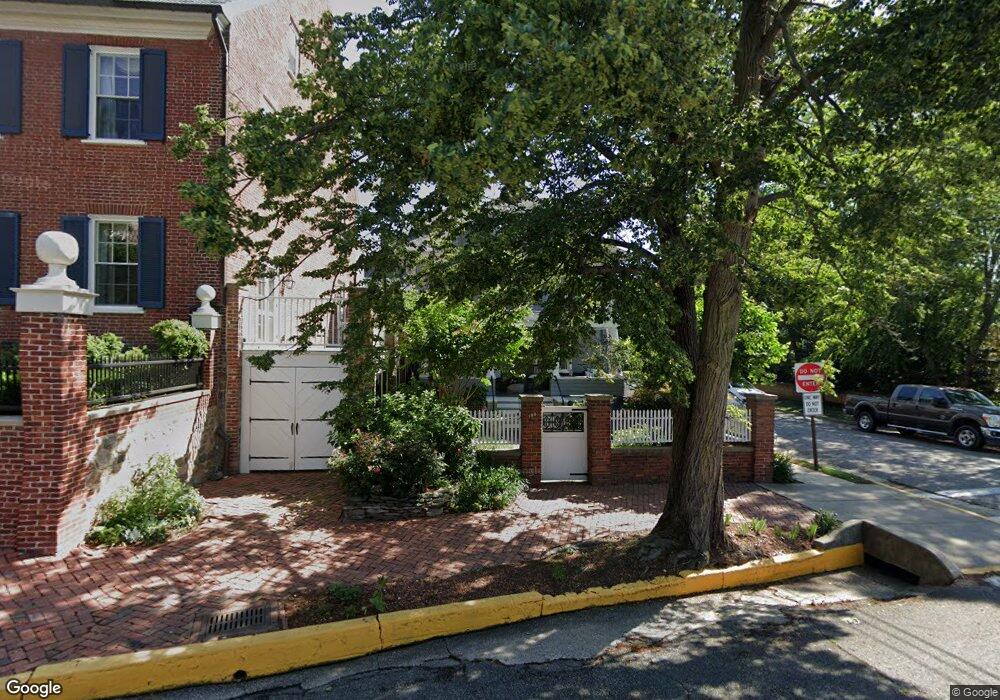
100 High St Chestertown, MD 21620
Estimated Value: $708,000 - $1,221,000
Studio
3
Baths
1,998
Sq Ft
$458/Sq Ft
Est. Value
About This Home
This home is located at 100 High St, Chestertown, MD 21620 and is currently estimated at $916,048, approximately $458 per square foot. 100 High St is a home located in Kent County with nearby schools including Kent County Middle School, Kent County High School, and Chestertown Christian Academy.
Ownership History
Date
Name
Owned For
Owner Type
Purchase Details
Closed on
Oct 4, 2017
Sold by
Cantor Donald C
Bought by
Kit Team Llc
Current Estimated Value
Purchase Details
Closed on
Jun 26, 2013
Sold by
Cantor Donald C and Dianne Cantor C
Bought by
Cantor Donald C
Purchase Details
Closed on
Nov 8, 2002
Sold by
Wyman John Trustee O/T Lorraine
Bought by
Cantor Donald C and Dianne C
Purchase Details
Closed on
Nov 4, 2002
Sold by
Wyman Lorraine
Bought by
Wyman John Trustee O/T Lorraine
Create a Home Valuation Report for This Property
The Home Valuation Report is an in-depth analysis detailing your home's value as well as a comparison with similar homes in the area
Home Values in the Area
Average Home Value in this Area
Purchase History
| Date | Buyer | Sale Price | Title Company |
|---|---|---|---|
| Kit Team Llc | $600,000 | None Available | |
| Cantor Donald C | -- | None Available | |
| Cantor Donald C | $335,000 | -- | |
| Wyman John Trustee O/T Lorraine | -- | -- |
Source: Public Records
Tax History
| Year | Tax Paid | Tax Assessment Tax Assessment Total Assessment is a certain percentage of the fair market value that is determined by local assessors to be the total taxable value of land and additions on the property. | Land | Improvement |
|---|---|---|---|---|
| 2025 | $9,917 | $632,800 | $350,200 | $282,600 |
| 2024 | $9,598 | $612,400 | $0 | $0 |
| 2023 | $8,901 | $592,000 | $0 | $0 |
| 2022 | $8,901 | $571,600 | $350,200 | $221,400 |
| 2020 | $8,784 | $560,467 | $0 | $0 |
| 2019 | $8,679 | $554,900 | $350,200 | $204,700 |
| 2018 | $8,623 | $554,900 | $350,200 | $204,700 |
| 2017 | $7,886 | $554,900 | $0 | $0 |
| 2016 | -- | $554,900 | $0 | $0 |
| 2015 | $6,326 | $554,900 | $0 | $0 |
| 2014 | $6,326 | $554,900 | $0 | $0 |
Source: Public Records
Map
Nearby Homes
- 105 High St
- 117 N Water St Unit 1A, 1B, 2A, & 2B
- 117 N Water St Unit 2B
- 117 N Water St Unit 2A
- 117 N Water St Unit 1A
- 117 N Water St Unit 1B
- 106 S Queen St
- 228 S Water St
- 206 S Water St
- 349 & 351 High St
- 349 High St
- 202 Waldo Dr
- 515 N Kent St
- 0 East St
- 109 S College Ave
- 222 Mount Vernon Ave
- 234 N College Ave
- 231 Richard Dr
- 611 Cannon St
- 201 N Lynchburg St
Your Personal Tour Guide
Ask me questions while you tour the home.