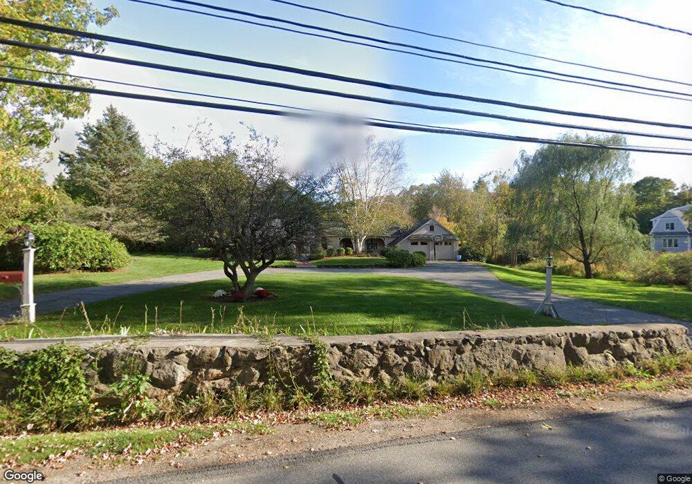
100 Hillside St Milton, MA 02186
Hillside Street NeighborhoodEstimated Value: $1,728,000 - $1,791,000
4
Beds
4
Baths
3,531
Sq Ft
$494/Sq Ft
Est. Value
About This Home
This home is located at 100 Hillside St, Milton, MA 02186 and is currently estimated at $1,745,243, approximately $494 per square foot. 100 Hillside St is a home located in Norfolk County with nearby schools including Milton High School, St. Mary of the Hills School, and Milton Academy.
Ownership History
Date
Name
Owned For
Owner Type
Purchase Details
Closed on
Nov 1, 1993
Sold by
Sweeney Karen A
Bought by
Lawton Claire C and Lawton John P
Current Estimated Value
Home Financials for this Owner
Home Financials are based on the most recent Mortgage that was taken out on this home.
Original Mortgage
$250,000
Interest Rate
6.86%
Mortgage Type
Purchase Money Mortgage
Purchase Details
Closed on
Nov 30, 1990
Sold by
Manning Martha A
Bought by
Sweeney Karen A
Home Financials for this Owner
Home Financials are based on the most recent Mortgage that was taken out on this home.
Original Mortgage
$185,000
Interest Rate
10.16%
Mortgage Type
Purchase Money Mortgage
Create a Home Valuation Report for This Property
The Home Valuation Report is an in-depth analysis detailing your home's value as well as a comparison with similar homes in the area
Home Values in the Area
Average Home Value in this Area
Purchase History
| Date | Buyer | Sale Price | Title Company |
|---|---|---|---|
| Lawton Claire C | $332,500 | -- | |
| Sweeney Karen A | $350,000 | -- |
Source: Public Records
Mortgage History
| Date | Status | Borrower | Loan Amount |
|---|---|---|---|
| Open | Sweeney Karen A | $791,872 | |
| Closed | Sweeney Karen A | $250,000 | |
| Previous Owner | Sweeney Karen A | $70,000 | |
| Previous Owner | Sweeney Karen A | $185,000 |
Source: Public Records
Tax History Compared to Growth
Tax History
| Year | Tax Paid | Tax Assessment Tax Assessment Total Assessment is a certain percentage of the fair market value that is determined by local assessors to be the total taxable value of land and additions on the property. | Land | Improvement |
|---|---|---|---|---|
| 2025 | $15,431 | $1,391,400 | $636,700 | $754,700 |
| 2024 | $14,864 | $1,361,200 | $606,500 | $754,700 |
| 2023 | $14,450 | $1,267,500 | $577,600 | $689,900 |
| 2022 | $13,894 | $1,114,200 | $577,600 | $536,600 |
| 2021 | $14,025 | $1,068,200 | $557,200 | $511,000 |
| 2020 | $13,817 | $1,053,100 | $551,800 | $501,300 |
| 2019 | $14,465 | $1,097,500 | $610,800 | $486,700 |
| 2018 | $13,097 | $948,400 | $466,400 | $482,000 |
| 2017 | $12,260 | $904,100 | $444,200 | $459,900 |
| 2016 | $11,503 | $852,100 | $401,900 | $450,200 |
| 2015 | $11,187 | $802,500 | $370,100 | $432,400 |
Source: Public Records
Map
Nearby Homes
- 80 Brierbrook St
- 63 Sears Rd
- 55 Parkwood Dr
- 161 Sassamon Ave
- 6 Brewster Rd
- 540 Harland St
- 407 Highland St
- 50 Marine Rd
- 32 Pleasant St
- 108 Indian Spring Rd
- 7 Preacher Rd
- 16 Preacher Rd
- 403405 Reedsdale Rd
- 22 Wildwood Rd
- 3 Stone Bridge Ln
- 375 Atherton St
- 111-113 Pleasant St
- 4 Farmer Rd
- 40 Lyman Rd
- 1386 Canton Ave
- 107 Hillside St
- 120 Hillside St
- 93 Hillside St
- 106 Hillside St
- 114 Hillside St
- 79 Hillside St
- 58 Hillside St
- 145 Hillside St
- 148 Hillside St
- 47 Hillside St
- 1 Ford Ranch Rd
- 147 Hillside St
- 159 Hillside St
- 35 Hillside St
- 170 Hillside St
- 52 Ford Ranch Rd
- 23 Hillside St
- 51 Ford Ranch Rd
- 161 Hillside St
- 174 Hillside St