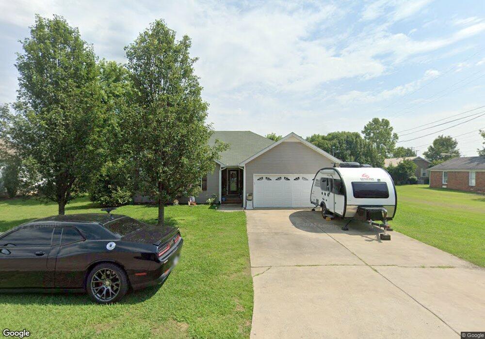
100 Kolby Dr Shelbyville, TN 37160
Estimated Value: $265,912 - $316,000
--
Bed
2
Baths
1,458
Sq Ft
$200/Sq Ft
Est. Value
About This Home
This home is located at 100 Kolby Dr, Shelbyville, TN 37160 and is currently estimated at $290,978, approximately $199 per square foot. 100 Kolby Dr is a home located in Bedford County with nearby schools including Liberty Elementary School and Christian Chapel Academy.
Ownership History
Date
Name
Owned For
Owner Type
Purchase Details
Closed on
Nov 5, 2018
Sold by
Bivvins Jamie
Bought by
Bivvins Jamie and Bivvins Ona L
Current Estimated Value
Home Financials for this Owner
Home Financials are based on the most recent Mortgage that was taken out on this home.
Original Mortgage
$142,347
Outstanding Balance
$124,919
Interest Rate
4.8%
Mortgage Type
VA
Estimated Equity
$166,059
Purchase Details
Closed on
Oct 16, 2008
Sold by
Price Christle M
Bought by
Bivvins Jamie
Purchase Details
Closed on
Nov 4, 2003
Sold by
Jones Travis
Bought by
Price Christle
Create a Home Valuation Report for This Property
The Home Valuation Report is an in-depth analysis detailing your home's value as well as a comparison with similar homes in the area
Home Values in the Area
Average Home Value in this Area
Purchase History
| Date | Buyer | Sale Price | Title Company |
|---|---|---|---|
| Bivvins Jamie | -- | First American Title Insuran | |
| Bivvins Jamie | $125,000 | -- | |
| Price Christle | $105,900 | -- |
Source: Public Records
Mortgage History
| Date | Status | Borrower | Loan Amount |
|---|---|---|---|
| Open | Bivvins Jamie | $142,347 |
Source: Public Records
Tax History Compared to Growth
Tax History
| Year | Tax Paid | Tax Assessment Tax Assessment Total Assessment is a certain percentage of the fair market value that is determined by local assessors to be the total taxable value of land and additions on the property. | Land | Improvement |
|---|---|---|---|---|
| 2025 | -- | $44,650 | $0 | $0 |
| 2024 | -- | $44,650 | $7,000 | $37,650 |
| 2023 | $1,699 | $44,650 | $7,000 | $37,650 |
| 2022 | $1,748 | $44,650 | $7,000 | $37,650 |
| 2021 | $1,587 | $44,650 | $7,000 | $37,650 |
| 2020 | $1,291 | $44,650 | $7,000 | $37,650 |
| 2019 | $1,291 | $29,150 | $4,500 | $24,650 |
| 2018 | $1,262 | $29,150 | $4,500 | $24,650 |
| 2017 | $1,262 | $29,150 | $4,500 | $24,650 |
| 2016 | $1,251 | $29,150 | $4,500 | $24,650 |
| 2015 | $1,251 | $29,150 | $4,500 | $24,650 |
| 2014 | $1,079 | $27,519 | $0 | $0 |
Source: Public Records
Map
Nearby Homes
- 485 Naron Rd
- 112 August Way
- 349 Naron Rd
- 116 Stonebrook Dr
- 107 Stonebrook Dr
- 0 Hilltop Dr
- 102 Doak St
- 823 Brookhaven Cir
- 127 Doak St
- 302 Graydon St
- 315 Woodland Dr
- 310 Crest Dr
- 602 Narrows Rd
- 103 Davis St
- 125 Burrum Dr
- 1261 Highway 130 W
- 1106 Highway 130 W
- 611 Coble Cir
- 702 Adams Dr
- 128 Riverlake Rd