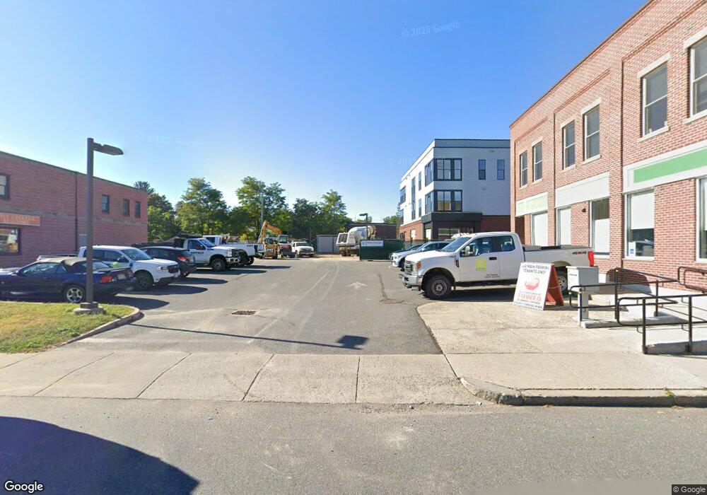
100 Main St Unit D Northampton, MA 01062
Florence NeighborhoodEstimated Value: $724,743
--
Bed
--
Bath
1,300
Sq Ft
$557/Sq Ft
Est. Value
About This Home
This home is located at 100 Main St Unit D, Northampton, MA 01062 and is currently estimated at $724,743, approximately $557 per square foot. 100 Main St Unit D is a home located in Hampshire County with nearby schools including Northampton High School, The Montessori School of Northampton, and Lander Grinspoon Academy.
Ownership History
Date
Name
Owned For
Owner Type
Purchase Details
Closed on
Sep 16, 2011
Sold by
Schimmelfing Reed
Bought by
Ballybunion Realty Llc
Current Estimated Value
Purchase Details
Closed on
Jun 27, 1997
Sold by
Lipston Jeffrey J
Bought by
Schimmelfing Reed
Home Financials for this Owner
Home Financials are based on the most recent Mortgage that was taken out on this home.
Original Mortgage
$85,000
Interest Rate
7.81%
Mortgage Type
Purchase Money Mortgage
Create a Home Valuation Report for This Property
The Home Valuation Report is an in-depth analysis detailing your home's value as well as a comparison with similar homes in the area
Home Values in the Area
Average Home Value in this Area
Purchase History
Date | Buyer | Sale Price | Title Company |
---|---|---|---|
Ballybunion Realty Llc | $320,000 | -- | |
Schimmelfing Reed | $92,000 | -- |
Source: Public Records
Mortgage History
Date | Status | Borrower | Loan Amount |
---|---|---|---|
Previous Owner | Muller William S | $15,000 | |
Previous Owner | Muller William S | $42,000 | |
Previous Owner | Muller William S | $85,000 | |
Previous Owner | Muller William S | $20,000 |
Source: Public Records
Tax History Compared to Growth
Tax History
Year | Tax Paid | Tax Assessment Tax Assessment Total Assessment is a certain percentage of the fair market value that is determined by local assessors to be the total taxable value of land and additions on the property. | Land | Improvement |
---|---|---|---|---|
2025 | $2,471 | $177,400 | $0 | $177,400 |
2024 | $2,474 | $162,900 | $0 | $162,900 |
2023 | $2,672 | $168,700 | $0 | $168,700 |
2022 | $2,726 | $152,400 | $0 | $152,400 |
2021 | $2,724 | $156,800 | $0 | $156,800 |
2020 | $2,634 | $156,800 | $0 | $156,800 |
2019 | $2,722 | $156,700 | $0 | $156,700 |
2018 | $2,670 | $156,700 | $0 | $156,700 |
2017 | $2,615 | $156,700 | $0 | $156,700 |
2016 | $2,532 | $156,700 | $0 | $156,700 |
2015 | $3,086 | $195,300 | $0 | $195,300 |
2014 | $3,006 | $195,300 | $0 | $195,300 |
Source: Public Records
Map
Nearby Homes
- 67 Park St Unit D
- 16 Fairfield Ave
- 152 S Main St Unit 4
- 152 S Main St Unit 6
- 152 S Main St Unit 8
- 152 S Main St Unit 7
- 152 S Main St Unit 5
- 99 Lake St
- 15 Ryan Rd
- 102 Bridge Rd
- 575 Bridge Rd Unit 11-2
- 575 Bridge Rd Unit 9-6
- 248 Spring Grove Ave
- 20 Bridge Rd Unit 8
- 19 Hatfield St
- 228 Florence Rd
- 47 Avis Cir
- 8 Warner St
- 51 1/2 Hatfield St Unit 6
- 325 Riverside Dr
- 100 Main St Unit D
- 100 Main St
- 100 Main St Unit . 1
- 81 Maple St
- 99 Main St
- 143 Main St
- 1 N Main St
- 3 N Main St
- 13 N Main St Unit R
- 13 N Main St Unit F
- 77 Maple St
- 91 Main St
- 89 Main St Unit D
- 89 Main St Unit 93
- 89 Main St
- 89 Main St Unit 3
- 89 Main St Unit 5
- 89 Main St Unit 6
- 89 Main St Unit 4