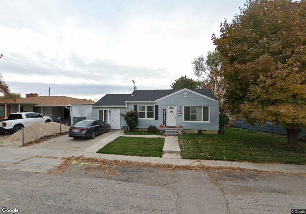
100 Maple Ln Pleasant Grove, UT 84062
Estimated Value: $379,000 - $396,000
4
Beds
1
Bath
1,050
Sq Ft
$371/Sq Ft
Est. Value
About This Home
This home is located at 100 Maple Ln, Pleasant Grove, UT 84062 and is currently estimated at $390,056, approximately $371 per square foot. 100 Maple Ln is a home located in Utah County with nearby schools including Mount Mahogany School, Pleasant Grove Junior High School, and Pleasant Grove High School.
Ownership History
Date
Name
Owned For
Owner Type
Purchase Details
Closed on
Jan 14, 2019
Sold by
Mmd Properties Llc
Bought by
Newby Jill
Current Estimated Value
Home Financials for this Owner
Home Financials are based on the most recent Mortgage that was taken out on this home.
Original Mortgage
$135,023
Outstanding Balance
$118,958
Interest Rate
4.8%
Mortgage Type
Purchase Money Mortgage
Estimated Equity
$271,098
Purchase Details
Closed on
Aug 19, 2014
Sold by
Bennett Andrew M and Bennett Sheena C
Bought by
Mmd Properties Llc
Purchase Details
Closed on
Jul 26, 2004
Sold by
Ellett Amanda A and Ellett Matthew H
Bought by
Trickett Cory V and Trickett Melody C
Home Financials for this Owner
Home Financials are based on the most recent Mortgage that was taken out on this home.
Original Mortgage
$96,800
Interest Rate
6.12%
Mortgage Type
New Conventional
Purchase Details
Closed on
Mar 29, 2001
Sold by
Measom Kurt and Measom Stephanie
Bought by
Ellett Matthew H and Ellett Amanda A
Home Financials for this Owner
Home Financials are based on the most recent Mortgage that was taken out on this home.
Original Mortgage
$111,254
Interest Rate
7.06%
Mortgage Type
FHA
Purchase Details
Closed on
Nov 10, 1998
Sold by
Measom Kurt J and Measom Stephanie Jo
Bought by
Measom Kurt and Measom Stephanie
Home Financials for this Owner
Home Financials are based on the most recent Mortgage that was taken out on this home.
Original Mortgage
$101,500
Interest Rate
6.54%
Create a Home Valuation Report for This Property
The Home Valuation Report is an in-depth analysis detailing your home's value as well as a comparison with similar homes in the area
Home Values in the Area
Average Home Value in this Area
Purchase History
| Date | Buyer | Sale Price | Title Company |
|---|---|---|---|
| Newby Jill | -- | Provo Land Title Co | |
| Mmd Properties Llc | $111,000 | Etitle Insurance Agency | |
| Trickett Cory V | -- | Cpr Title Insurance Agency | |
| Ellett Matthew H | -- | Backman Stewart Title Servi | |
| Measom Kurt | -- | Backman Stewart Title |
Source: Public Records
Mortgage History
| Date | Status | Borrower | Loan Amount |
|---|---|---|---|
| Open | Newby Jill | $135,023 | |
| Previous Owner | Trickett Cory V | $96,800 | |
| Previous Owner | Ellett Matthew H | $111,254 | |
| Previous Owner | Measom Kurt | $101,500 | |
| Closed | Trickett Cory V | $24,200 |
Source: Public Records
Tax History
| Year | Tax Paid | Tax Assessment Tax Assessment Total Assessment is a certain percentage of the fair market value that is determined by local assessors to be the total taxable value of land and additions on the property. | Land | Improvement |
|---|---|---|---|---|
| 2025 | $1,466 | $187,385 | -- | -- |
| 2024 | $1,466 | $174,900 | $0 | $0 |
| 2023 | $1,428 | $174,405 | $0 | $0 |
| 2022 | $1,573 | $191,180 | $0 | $0 |
| 2021 | $1,356 | $250,900 | $130,000 | $120,900 |
| 2020 | $1,245 | $226,000 | $116,100 | $109,900 |
| 2019 | $991 | $186,000 | $106,600 | $79,400 |
| 2018 | $937 | $166,200 | $97,200 | $69,000 |
| 2017 | $826 | $77,990 | $0 | $0 |
| 2016 | $820 | $74,745 | $0 | $0 |
| 2015 | $865 | $74,745 | $0 | $0 |
| 2014 | $861 | $73,700 | $0 | $0 |
Source: Public Records
Map
Nearby Homes
- 412 S 350 E
- 435 E 790 S Unit 8
- 165 S 200 E
- 190 E 100 S
- 494 E Apple Blossom Dr
- 35 S 100 E
- 46 S 100 W Unit 1
- 77 N Main St
- 135 N Main St
- 590 N Buffalo Grass Ln
- 588 N Buffalo Grass Ln
- 582 N Buffalo Grass Ln
- 578 N Buffalo Grass Ln
- 576 N Buffalo Grass Ln
- 572 N Buffalo Grass Ln
- 570 N Buffalo Grass Ln
- 574 N Buffalo Grass Ln
- 568 N Buffalo Grass Ln
- 566 N Buffalo Grass Ln
- 564 N Buffalo Grass Ln Unit 1250
Your Personal Tour Guide
Ask me questions while you tour the home.