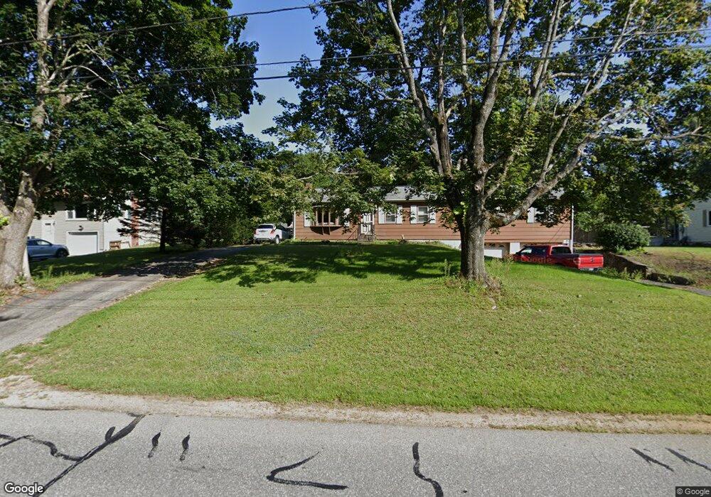
100 Meadow Rd Spencer, MA 01562
Estimated Value: $373,718 - $462,000
3
Beds
1
Bath
1,536
Sq Ft
$273/Sq Ft
Est. Value
About This Home
This home is located at 100 Meadow Rd, Spencer, MA 01562 and is currently estimated at $419,180, approximately $272 per square foot. 100 Meadow Rd is a home located in Worcester County with nearby schools including David Prouty High School.
Ownership History
Date
Name
Owned For
Owner Type
Purchase Details
Closed on
Mar 5, 2007
Sold by
Mancini Frank D
Bought by
Beshai Kathleen M
Current Estimated Value
Home Financials for this Owner
Home Financials are based on the most recent Mortgage that was taken out on this home.
Original Mortgage
$210,000
Interest Rate
6.27%
Mortgage Type
Purchase Money Mortgage
Purchase Details
Closed on
Sep 3, 2003
Sold by
Gallant Howard E and Gallant Jennifer F
Bought by
Mancini Frank D
Home Financials for this Owner
Home Financials are based on the most recent Mortgage that was taken out on this home.
Original Mortgage
$140,000
Interest Rate
6.02%
Mortgage Type
Purchase Money Mortgage
Purchase Details
Closed on
Nov 26, 1991
Sold by
Gaudette Roland and Gaudette Theresa
Bought by
Gallant Howard E and Dunn Jennifer F
Create a Home Valuation Report for This Property
The Home Valuation Report is an in-depth analysis detailing your home's value as well as a comparison with similar homes in the area
Home Values in the Area
Average Home Value in this Area
Purchase History
| Date | Buyer | Sale Price | Title Company |
|---|---|---|---|
| Beshai Kathleen M | $270,000 | -- | |
| Mancini Frank D | $237,000 | -- | |
| Gallant Howard E | $115,000 | -- |
Source: Public Records
Mortgage History
| Date | Status | Borrower | Loan Amount |
|---|---|---|---|
| Open | Gallant Howard E | $256,563 | |
| Closed | Gallant Howard E | $258,281 | |
| Closed | Gallant Howard E | $254,465 | |
| Closed | Beshai Kathleen M | $210,000 | |
| Previous Owner | Mancini Frank D | $140,000 |
Source: Public Records
Tax History
| Year | Tax Paid | Tax Assessment Tax Assessment Total Assessment is a certain percentage of the fair market value that is determined by local assessors to be the total taxable value of land and additions on the property. | Land | Improvement |
|---|---|---|---|---|
| 2025 | $40 | $342,700 | $42,600 | $300,100 |
| 2024 | $3,664 | $320,300 | $42,600 | $277,700 |
| 2023 | $3,476 | $288,200 | $42,600 | $245,600 |
| 2022 | $3,415 | $259,500 | $38,800 | $220,700 |
| 2021 | $3,277 | $233,400 | $38,800 | $194,600 |
| 2020 | $3,020 | $213,900 | $38,800 | $175,100 |
| 2019 | $2,870 | $207,100 | $32,600 | $174,500 |
| 2018 | $2,440 | $181,800 | $40,700 | $141,100 |
| 2017 | $2,386 | $170,700 | $38,800 | $131,900 |
| 2016 | $2,591 | $181,300 | $38,800 | $142,500 |
| 2015 | $2,504 | $183,200 | $44,500 | $138,700 |
| 2014 | $2,409 | $183,200 | $44,500 | $138,700 |
Source: Public Records
Map
Nearby Homes
- 102 Meadow Rd
- 98 Meadow Rd
- 7 Pioneer Valley Dr
- 11 Pioneer Valley Dr
- 97 Meadow Rd
- 96 Meadow Rd
- 104 Meadow Rd
- 5 Pioneer Valley Dr
- 15 Pioneer Valley Rd
- 94 Meadow Rd
- 10 Pioneer Valley Dr
- 95 Meadow Rd
- 106 Meadow Rd
- 12 Pioneer Valley Dr
- 3 Pioneer Valley Dr
- 14 Pioneer Valley Dr
- 8 Meadowbrook Rd
- 93 Meadow Rd
- 17 Pioneer Valley Dr
- 92 Meadow Rd
Your Personal Tour Guide
Ask me questions while you tour the home.