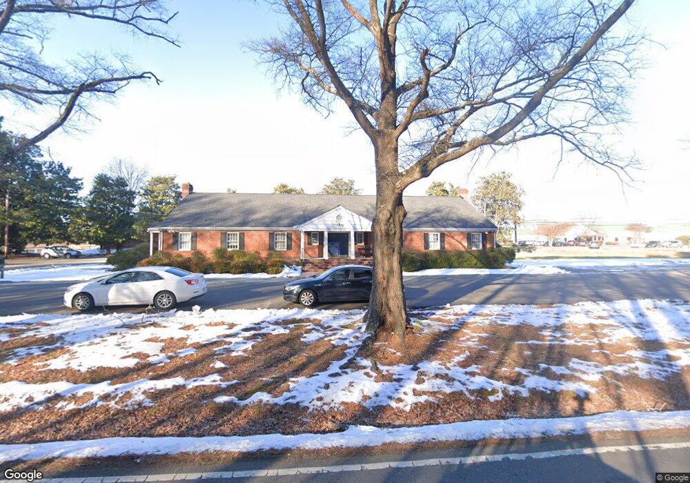
100 Medical Dr Ashland, VA 23005
Estimated Value: $682,034
--
Bed
--
Bath
4,392
Sq Ft
$155/Sq Ft
Est. Value
About This Home
This home is located at 100 Medical Dr, Ashland, VA 23005 and is currently estimated at $682,034, approximately $155 per square foot. 100 Medical Dr is a home located in Hanover County with nearby schools including Henry Clay Elementary School, Liberty Middle School, and Patrick Henry High School.
Ownership History
Date
Name
Owned For
Owner Type
Purchase Details
Closed on
Apr 23, 2015
Sold by
Lee Richard M
Bought by
Ashland Medical Properties Llc
Current Estimated Value
Home Financials for this Owner
Home Financials are based on the most recent Mortgage that was taken out on this home.
Original Mortgage
$300,000
Outstanding Balance
$231,949
Interest Rate
3.86%
Mortgage Type
Construction
Estimated Equity
$450,085
Create a Home Valuation Report for This Property
The Home Valuation Report is an in-depth analysis detailing your home's value as well as a comparison with similar homes in the area
Home Values in the Area
Average Home Value in this Area
Purchase History
| Date | Buyer | Sale Price | Title Company |
|---|---|---|---|
| Ashland Medical Properties Llc | $375,000 | -- |
Source: Public Records
Mortgage History
| Date | Status | Borrower | Loan Amount |
|---|---|---|---|
| Open | Ashland Medical Properties Llc | $300,000 |
Source: Public Records
Tax History Compared to Growth
Tax History
| Year | Tax Paid | Tax Assessment Tax Assessment Total Assessment is a certain percentage of the fair market value that is determined by local assessors to be the total taxable value of land and additions on the property. | Land | Improvement |
|---|---|---|---|---|
| 2025 | $4,822 | $595,300 | $222,500 | $372,800 |
| 2024 | $4,578 | $565,200 | $215,400 | $349,800 |
| 2023 | $4,352 | $565,200 | $215,400 | $349,800 |
| 2022 | $4,497 | $555,200 | $215,400 | $339,800 |
| 2021 | $4,497 | $555,200 | $215,400 | $339,800 |
| 2020 | $4,497 | $555,200 | $215,400 | $339,800 |
| 2019 | $4,167 | $514,400 | $200,000 | $314,400 |
| 2018 | $4,167 | $514,400 | $200,000 | $314,400 |
| 2017 | $4,167 | $514,400 | $200,000 | $314,400 |
| 2016 | $4,167 | $514,400 | $200,000 | $314,400 |
| 2015 | $3,829 | $472,700 | $178,600 | $294,100 |
| 2014 | $3,829 | $472,700 | $178,600 | $294,100 |
Source: Public Records
Map
Nearby Homes
- 513 Wesley St
- 119 Thorncliff Rd
- 109 Axton Ln
- 118 Lauradell Rd
- 124 Axton Ln
- 509 Chapman St
- 210 Wesley St
- 0 Wesley St Unit 2431424
- 720 Chapman St
- 405 Thompson St
- 317 N Snead St
- 205 Henry Clay Rd
- Jefferson Plan at Amburn - Single Family
- Byrd Plan at Amburn - Villas
- Monterey Plan at Amburn - Single Family
- 10520 Orchard Blossom Dr
- Lot 73 Lauradell Rd
- 606 S James St
- 0 E Patrick St
- 14106 Falcon Crest Ct
- 809 Thompson St
- 906 Thompson St
- 705 Thompson St
- 811 Thompson St
- 13320 Elmont Rd
- 800 Thompson St
- 13350 Elmont Rd
- 813 Thompson St
- 517 Wesley St
- 102 Thorncliff Rd
- 105 Thorncliff Rd
- 515 Wesley St
- 104 Thorncliff Rd
- 107 Thorncliff Rd
- 606 John St
- 13300 Elmont Rd
- 106 Thorncliff Rd
- 0 Thompson St
- 13284 Elmont Rd
- 109 Thorncliff Rd