100 Mountain View Rd Bristol, NH 03222
Estimated Value: $401,914 - $717,000
3
Beds
1
Bath
1,144
Sq Ft
$491/Sq Ft
Est. Value
About This Home
This home is located at 100 Mountain View Rd, Bristol, NH 03222 and is currently estimated at $561,729, approximately $491 per square foot. 100 Mountain View Rd is a home located in Grafton County with nearby schools including Bristol Elementary School.
Ownership History
Date
Name
Owned For
Owner Type
Purchase Details
Closed on
Nov 13, 2023
Sold by
Peterson Jeanne
Bought by
Jpbeandance T T and Jpbeandance Peterson
Current Estimated Value
Purchase Details
Closed on
Apr 19, 2004
Sold by
Newcomb Gail C
Bought by
Peterson Jeanne
Home Financials for this Owner
Home Financials are based on the most recent Mortgage that was taken out on this home.
Original Mortgage
$128,000
Interest Rate
5.58%
Mortgage Type
Purchase Money Mortgage
Create a Home Valuation Report for This Property
The Home Valuation Report is an in-depth analysis detailing your home's value as well as a comparison with similar homes in the area
Home Values in the Area
Average Home Value in this Area
Purchase History
| Date | Buyer | Sale Price | Title Company |
|---|---|---|---|
| Jpbeandance T T | -- | None Available | |
| Peterson Jeanne | $18,500 | -- |
Source: Public Records
Mortgage History
| Date | Status | Borrower | Loan Amount |
|---|---|---|---|
| Previous Owner | Peterson Jeanne | $120,000 | |
| Previous Owner | Peterson Jeanne | $128,000 |
Source: Public Records
Tax History Compared to Growth
Tax History
| Year | Tax Paid | Tax Assessment Tax Assessment Total Assessment is a certain percentage of the fair market value that is determined by local assessors to be the total taxable value of land and additions on the property. | Land | Improvement |
|---|---|---|---|---|
| 2024 | $4,937 | $209,000 | $98,300 | $110,700 |
| 2023 | $4,755 | $209,000 | $98,300 | $110,700 |
| 2022 | $4,387 | $209,000 | $98,300 | $110,700 |
| 2021 | $4,224 | $209,000 | $98,300 | $110,700 |
| 2020 | $4,324 | $209,000 | $98,300 | $110,700 |
| 2019 | $3,919 | $171,900 | $73,700 | $98,200 |
| 2018 | $3,747 | $171,900 | $73,700 | $98,200 |
| 2017 | $3,804 | $171,900 | $73,700 | $98,200 |
| 2016 | $3,545 | $171,900 | $73,700 | $98,200 |
| 2015 | $4,032 | $200,300 | $96,400 | $103,900 |
| 2014 | $4,032 | $200,300 | $96,400 | $103,900 |
| 2013 | $4,042 | $200,300 | $96,400 | $103,900 |
Source: Public Records
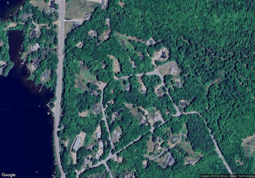
Map
Nearby Homes
- 26 Don Gerry Rd
- 94 Mandi Ln
- 35 Manor Estates Dr Unit 14
- 199 Cottage City Rd
- 80 Ridge Rd
- 50 Browns Beach Rd
- 420 Wulamat Rd
- 400 Wulamat Rd
- 837 Lake St
- 383 Wulamat Rd
- 326 Wulamat Rd
- 29 Pasquaney Ln Unit 10
- 45 Grandview Dr Unit 3
- 29 Mollie Rd
- 17 Village Dr W Unit 11
- 10 & 20 North Rd
- 275 Shore Dr N
- 820 Old Bristol Rd
- 30 Beech St Unit 4C
- 30 Beech St Unit 1B
- 54 Mountain View Rd
- 135 Wicom Rd
- 34 Mountain View Rd
- 31 Prestige Dr
- 126 Mountain View Rd
- 145 Wicom Rd
- 79 Prestige Dr
- 81 Mountain View Dr
- 71 Mountain View Dr
- 63 Mountain View Dr
- 165 Wicom Rd
- 18 Mountain View Rd
- 81 Mountain View Rd
- 71 Mountain View Rd
- 64 Prestige Dr
- 50 Prestige Dr
- 15 Sable Rd
- 15 Sable Rd Unit 24
- 15 Sable Rd Unit 23
- 15 Sable Rd Unit 18