Estimated Value: $129,000 - $144,251
About This Home
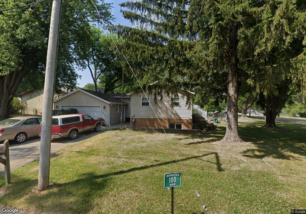
This home is located at 100 N Main St, Byron, IL 61010 and is currently estimated at $138,813, approximately $133 per square foot. 100 N Main St is a home located in Ogle County with nearby schools including Mary Morgan Elementary School, Byron Middle School, and Byron High School.
Ownership History
We collect this data history from publicly available records. To have your information removed, we recommend requesting removal directly through your county’s website.
Purchase Details
Home Financials for this Owner
Home Financials are based on the most recent Mortgage that was taken out on this home.Purchase Details
Home Values in the Area
Average Home Value in this Area
Purchase History
We collect this data history from publicly available records. To have your information removed, we recommend requesting removal directly through your county’s website.
| Date | Buyer | Sale Price | Title Company |
|---|---|---|---|
| $87,500 | None Available | ||
| $107,000 | None Available |
Mortgage History
We collect this data history from publicly available records. To have your information removed, we recommend requesting removal directly through your county’s website.
| Date | Status | Borrower | Loan Amount |
|---|---|---|---|
| Open | $80,525 |
Tax History
We collect this data history from publicly available records. To have your information removed, we recommend requesting removal directly through your county’s website.
| Year | Tax Paid | Tax Assessment Tax Assessment Total Assessment is a certain percentage of the fair market value that is determined by local assessors to be the total taxable value of land and additions on the property. | Land | Improvement |
|---|---|---|---|---|
| 2025 | $2,546 | $45,509 | $8,519 | $36,990 |
| 2024 | $2,546 | $41,878 | $7,839 | $34,039 |
| 2023 | $2,235 | $38,255 | $7,161 | $31,094 |
| 2022 | $2,130 | $36,440 | $6,821 | $29,619 |
| 2021 | $2,566 | $35,611 | $6,666 | $28,945 |
| 2020 | $2,265 | $34,013 | $6,367 | $27,646 |
| 2019 | $2,266 | $32,626 | $6,107 | $26,519 |
| 2018 | $2,322 | $32,626 | $6,107 | $26,519 |
| 2017 | $2,186 | $31,410 | $5,879 | $25,531 |
| 2016 | $2,137 | $30,949 | $5,793 | $25,156 |
| 2015 | $2,057 | $30,253 | $5,663 | $24,590 |
| 2014 | $2,056 | $30,253 | $5,663 | $24,590 |
| 2013 | $1,764 | $31,289 | $5,857 | $25,432 |
Map
- 6315 N River Rd
- 6468 N Deer Path Rd
- 261 W Redtail Ln
- 151 N Fox Run Ln
- 000 Indian Cove Dr
- 808 Crest View Trail
- 750 Brookview Dr
- 000 Silver Ridge Dr
- 3261 N Silver Ridge Dr
- 849 7 Hickory Rd
- 732 W 2nd St
- 407 W 4th St
- 8890 Hales Corner Rd Rd
- 1257 Glacier Dr
- 509 N Walnut St
- 1364 Joanne Terrace
- 1574 Warrenton Dr
- 1629 Warrenton Ct Unit 21
- 713 Birch St
- 4973 E Lawnside Dr
- 306 N Blackhawk Dr
- 202 E North Park Dr
- 308 N Blackhawk Dr
- 201 Log Cabin Dr
- 311 N Blackhawk Dr
- 210 E Rockvale Dr
- 303 E North Park Dr
- 202 Log Cabin Dr
- 5625 N River Rd
- 220 E Rockvale Dr
- 5622 N River Rd
- 307 E North Park Dr
- 000 E Rockvale Dr
- 0000 E Rockvale Dr
- 5606 N River Rd
- 209 E Rockvale Dr
- 205 E Rockvale Dr
- 5609 N River Rd
- 217 E Rockvale Dr
- 300 E North Park Dr
Ask me questions while you tour the home.