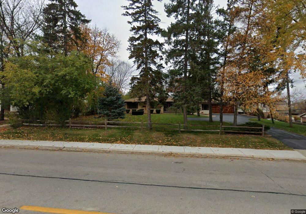
100 N Mill Rd Addison, IL 60101
Estimated Value: $319,000 - $381,643
3
Beds
2
Baths
1,271
Sq Ft
$273/Sq Ft
Est. Value
About This Home
This home is located at 100 N Mill Rd, Addison, IL 60101 and is currently estimated at $347,161, approximately $273 per square foot. 100 N Mill Rd is a home located in DuPage County with nearby schools including Army Trail Elementary School, Indian Trail Jr High School, and Addison Trail High School.
Ownership History
Date
Name
Owned For
Owner Type
Purchase Details
Closed on
Jul 1, 1997
Sold by
The Moody Bible Institute Of Chicago
Bought by
Pinnacle Corp
Current Estimated Value
Purchase Details
Closed on
Mar 22, 1996
Sold by
The Moody Bible Institute Of Chicago
Bought by
National Developers Inc
Home Financials for this Owner
Home Financials are based on the most recent Mortgage that was taken out on this home.
Original Mortgage
$880,000
Interest Rate
7.06%
Mortgage Type
Purchase Money Mortgage
Create a Home Valuation Report for This Property
The Home Valuation Report is an in-depth analysis detailing your home's value as well as a comparison with similar homes in the area
Home Values in the Area
Average Home Value in this Area
Purchase History
| Date | Buyer | Sale Price | Title Company |
|---|---|---|---|
| Pinnacle Corp | -- | -- | |
| National Developers Inc | -- | -- |
Source: Public Records
Mortgage History
| Date | Status | Borrower | Loan Amount |
|---|---|---|---|
| Previous Owner | National Developers Inc | $880,000 |
Source: Public Records
Tax History
| Year | Tax Paid | Tax Assessment Tax Assessment Total Assessment is a certain percentage of the fair market value that is determined by local assessors to be the total taxable value of land and additions on the property. | Land | Improvement |
|---|---|---|---|---|
| 2024 | $5,824 | $98,631 | $41,500 | $57,131 |
| 2023 | $5,497 | $90,670 | $38,150 | $52,520 |
| 2022 | $5,834 | $90,220 | $37,960 | $52,260 |
| 2021 | $5,570 | $86,420 | $36,360 | $50,060 |
| 2020 | $5,399 | $82,780 | $34,830 | $47,950 |
| 2019 | $5,342 | $79,600 | $33,490 | $46,110 |
| 2018 | $5,442 | $78,040 | $32,830 | $45,210 |
| 2017 | $5,278 | $74,590 | $31,380 | $43,210 |
| 2016 | $5,092 | $68,860 | $28,970 | $39,890 |
| 2015 | $4,918 | $63,610 | $26,760 | $36,850 |
| 2014 | $5,684 | $66,410 | $29,440 | $36,970 |
| 2013 | $5,569 | $67,760 | $30,040 | $37,720 |
Source: Public Records
Map
Nearby Homes
- 621 W Natalie Ln
- 84 N Mill Rd
- 737 Saint Johns Place
- 253 Masters Dr
- 257 Masters Dr
- 276 Masters Dr
- 775 W Fairway Dr
- 387 Masters Dr
- 377 Masters Dr
- 6238 Links Dr Unit 4001
- 427 W Natoma Ave
- 245 N Mill Rd Unit 9C
- 432 W Natoma Ave
- 428 W Natoma Ave
- 235 N Mill Rd Unit 115B
- 102 S Adeline Ave
- 216 S Evergreen Ave
- 10 N Adams Dr
- 1050 W Woodland Ave
- 649 N Briar Hill Ln Unit 3
- 90 N Mill Rd
- 88 N Mill Rd
- 609 Saint Johns Place
- 630 W Natalie Ln
- 615 W St. Johns Place
- 615 Saint Johns Place
- 82 N Mill Rd
- 609 W St. Johns Place
- 619 W St. Johns Place
- 623 W St. Johns Place
- 622 W Natalie Ln
- 605 W St. Johns Place
- 605 Saint Johns Place Unit 605
- 627 W St. Johns Place
- 550 W Rose Ave
- 601 W St. Johns Place
- 658 W Natalie Ln
- 549 W Rose Ave
- 631 W St. Johns Place
- 74 N Mill Rd
Your Personal Tour Guide
Ask me questions while you tour the home.