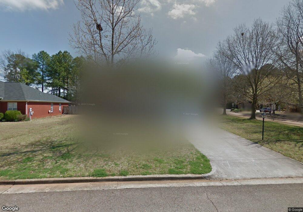
100 N Rock Hampton Dr Madison, AL 35758
Estimated Value: $213,000 - $311,000
3
Beds
2
Baths
1,740
Sq Ft
$154/Sq Ft
Est. Value
About This Home
This home is located at 100 N Rock Hampton Dr, Madison, AL 35758 and is currently estimated at $268,827, approximately $154 per square foot. 100 N Rock Hampton Dr is a home located in Madison County with nearby schools including Discovery Middle School, Bob Jones High School, and Madison Baptist Academy.
Ownership History
Date
Name
Owned For
Owner Type
Purchase Details
Closed on
May 3, 2024
Sold by
Sharp Todd and Sharp Cynthia
Bought by
Sharp Family Trust and Sharp
Current Estimated Value
Purchase Details
Closed on
Mar 9, 2023
Sold by
Hammer Arthur C
Bought by
Sharp Todd and Sharp Cynthia
Home Financials for this Owner
Home Financials are based on the most recent Mortgage that was taken out on this home.
Original Mortgage
$170,000
Interest Rate
6%
Mortgage Type
New Conventional
Create a Home Valuation Report for This Property
The Home Valuation Report is an in-depth analysis detailing your home's value as well as a comparison with similar homes in the area
Home Values in the Area
Average Home Value in this Area
Purchase History
| Date | Buyer | Sale Price | Title Company |
|---|---|---|---|
| Sharp Family Trust | -- | None Listed On Document | |
| Sharp Todd | $199,000 | Valley Title |
Source: Public Records
Mortgage History
| Date | Status | Borrower | Loan Amount |
|---|---|---|---|
| Previous Owner | Sharp Todd | $170,000 |
Source: Public Records
Tax History Compared to Growth
Tax History
| Year | Tax Paid | Tax Assessment Tax Assessment Total Assessment is a certain percentage of the fair market value that is determined by local assessors to be the total taxable value of land and additions on the property. | Land | Improvement |
|---|---|---|---|---|
| 2024 | $3,097 | $44,400 | $11,000 | $33,400 |
| 2023 | $3,097 | $25,500 | $5,500 | $20,000 |
| 2022 | $0 | $22,300 | $4,760 | $17,540 |
| 2021 | $781 | $18,820 | $3,760 | $15,060 |
| 2020 | $781 | $15,960 | $3,000 | $12,960 |
| 2019 | $781 | $15,530 | $3,000 | $12,530 |
| 2018 | $780 | $15,520 | $0 | $0 |
| 2017 | $780 | $15,520 | $0 | $0 |
| 2016 | $780 | $15,520 | $0 | $0 |
| 2015 | $780 | $15,520 | $0 | $0 |
| 2014 | $754 | $15,220 | $0 | $0 |
Source: Public Records
Map
Nearby Homes
- 98 S Interlaken Dr
- 126 Liza Ln
- 136 Manningham Dr
- 1214 Cathedral Cir
- 103 Lanthorn Cir
- 1173 Cathedral Cir
- 210 Garden Brook Dr
- 147 Bridgefield Rd
- 215 Garden Brook Dr
- 225 Park Stone Dr
- 106 Madison Villas Way Unit 106
- 176 Browns Ferry Rd
- 200 Overbrook Dr
- 107 Manningham Dr
- 305 Holly Springs Dr
- 127 Landers Dr
- 102 Kayo Rd
- 103 Whisperwood Ln
- 164 Silo Hill Rd
- 133 Philadelphia Dr
- 106 N Rock Hampton Dr
- 101 N Rock Hampton Dr
- 103 N Rock Hampton Dr
- 98 S Rock Hampton Dr
- 101 Liza Ln
- 105 N Rock Hampton Dr
- 108 N Rock Hampton Dr
- 104 Horseshoe Bend S
- 99 S Rock Hampton Dr
- 96 S Rock Hampton Dr
- 102 Horseshoe Bend S
- 107 N Rock Hampton Dr
- 100 Liza Ln
- 100 N Interlaken Dr
- 103 Liza Ln
- 97 S Rock Hampton Dr
- 110 N Rock Hampton Dr
- 104 N Interlaken Dr
- 100 Horseshoe Bend S
- 106 Horseshoe Bend S
