100 Pikes Point Rd Bristol, NH 03222
Estimated Value: $750,000 - $1,190,000
3
Beds
2
Baths
1,794
Sq Ft
$503/Sq Ft
Est. Value
About This Home
This home is located at 100 Pikes Point Rd, Bristol, NH 03222 and is currently estimated at $902,156, approximately $502 per square foot. 100 Pikes Point Rd is a home located in Grafton County with nearby schools including Bristol Elementary School.
Ownership History
Date
Name
Owned For
Owner Type
Purchase Details
Closed on
Oct 18, 2017
Sold by
John C Mcdugald 2014 T
Bought by
Cullinan Christopher and Folsom Amanda J
Current Estimated Value
Purchase Details
Closed on
Feb 4, 2016
Sold by
Mcdugald John C
Bought by
John C Mcdugald T and Mcdugald John C
Purchase Details
Closed on
Oct 13, 1998
Sold by
Cogean-Noel Candice M
Bought by
Mcdugald John C
Create a Home Valuation Report for This Property
The Home Valuation Report is an in-depth analysis detailing your home's value as well as a comparison with similar homes in the area
Home Values in the Area
Average Home Value in this Area
Purchase History
| Date | Buyer | Sale Price | Title Company |
|---|---|---|---|
| Cullinan Christopher | -- | -- | |
| John C Mcdugald T | -- | -- | |
| Mcdugald John C | $84,900 | -- |
Source: Public Records
Mortgage History
| Date | Status | Borrower | Loan Amount |
|---|---|---|---|
| Previous Owner | Mcdugald John C | $30,000 |
Source: Public Records
Tax History Compared to Growth
Tax History
| Year | Tax Paid | Tax Assessment Tax Assessment Total Assessment is a certain percentage of the fair market value that is determined by local assessors to be the total taxable value of land and additions on the property. | Land | Improvement |
|---|---|---|---|---|
| 2024 | $13,544 | $573,400 | $411,500 | $161,900 |
| 2023 | $13,045 | $573,400 | $411,500 | $161,900 |
| 2022 | $12,036 | $573,400 | $411,500 | $161,900 |
| 2021 | $11,588 | $573,400 | $411,500 | $161,900 |
| 2020 | $11,864 | $573,400 | $411,500 | $161,900 |
| 2019 | $10,267 | $450,300 | $300,300 | $150,000 |
| 2018 | $9,817 | $450,300 | $300,300 | $150,000 |
| 2017 | $9,965 | $450,300 | $300,300 | $150,000 |
| 2016 | $9,285 | $450,300 | $300,300 | $150,000 |
| 2015 | $7,947 | $394,800 | $235,100 | $159,700 |
| 2014 | $7,947 | $394,800 | $235,100 | $159,700 |
| 2013 | $7,967 | $394,800 | $235,100 | $159,700 |
Source: Public Records
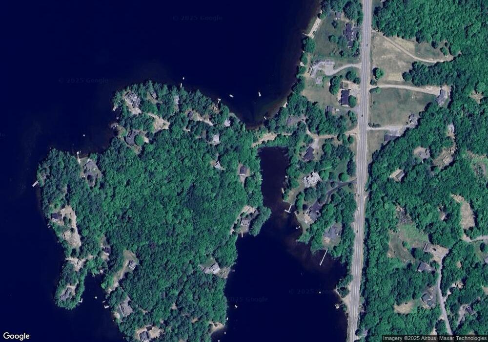
Map
Nearby Homes
- 26 Don Gerry Rd
- 35 Manor Estates Dr Unit 14
- 199 Cottage City Rd
- 94 Mandi Ln
- 383 Wulamat Rd
- 114 Ledgewood Terrace
- Lot 7 Hall Rd
- 862 Mayhew Turnpike Unit 1
- 40 Adams Rd
- 150 Peaked Hill Rd
- 333 Lake St
- 29 Daniels Rd
- 00 Peaked Hill Rd Unit 7.1, 7.2, 7.3, 7.4,
- 30 Beech St Unit 4B
- 30 Beech St Unit 4C
- 135 Pleasant St
- 125 Verrill Rd
- 4 Birchwood Dr Unit A
- 497 W Shore Rd
- 00 Ledgewood Cir Unit 7
- 174 Pikes Point Rd
- 10 Pikes Point Rd Unit 10
- 10 Pikes Point Rd Unit R
- 10 Pikes Point Rd
- 45 Pikes Point Rd
- 43 Pikes Point Rd
- 5 Pikes Point Rd
- 36 Pikes Point Rd
- 105 Pikes Point Rd
- 1733 Lake St
- 55 Pikes Point Rd
- 1731 Lake St
- 44 Pikes Point Rd
- 1700 Lake St
- 145 Pikes Point Rd
- 56 Pikes Point Rd
- 56L Pikes Point Rd
- 1777 Lake St
- 1750 Lake St
- 37 Sunset Dr