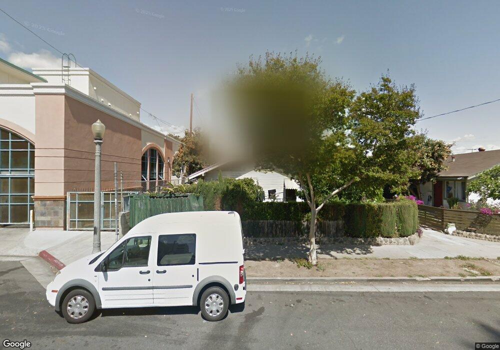
100 S 6th St Unit A Alhambra, CA 91801
Estimated Value: $510,184 - $963,000
1
Bed
1
Bath
565
Sq Ft
$1,301/Sq Ft
Est. Value
About This Home
This home is located at 100 S 6th St Unit A, Alhambra, CA 91801 and is currently estimated at $735,046, approximately $1,300 per square foot. 100 S 6th St Unit A is a home located in Los Angeles County with nearby schools including William Northrup Elementary School, Alhambra High School, and All Souls World Language Catholic School.
Ownership History
Date
Name
Owned For
Owner Type
Purchase Details
Closed on
Oct 3, 2014
Sold by
Lai Kat Cheung
Bought by
The Lai Residence Trust
Current Estimated Value
Purchase Details
Closed on
Oct 26, 1999
Sold by
Ho Hsiao
Bought by
Lai Kat Cheung and Chan Chui Ying
Home Financials for this Owner
Home Financials are based on the most recent Mortgage that was taken out on this home.
Original Mortgage
$50,000
Interest Rate
7.82%
Create a Home Valuation Report for This Property
The Home Valuation Report is an in-depth analysis detailing your home's value as well as a comparison with similar homes in the area
Home Values in the Area
Average Home Value in this Area
Purchase History
| Date | Buyer | Sale Price | Title Company |
|---|---|---|---|
| The Lai Residence Trust | -- | None Available | |
| Lai Kat Cheung | -- | Fidelity Title |
Source: Public Records
Mortgage History
| Date | Status | Borrower | Loan Amount |
|---|---|---|---|
| Previous Owner | Lai Kat Cheung | $50,000 |
Source: Public Records
Tax History Compared to Growth
Tax History
| Year | Tax Paid | Tax Assessment Tax Assessment Total Assessment is a certain percentage of the fair market value that is determined by local assessors to be the total taxable value of land and additions on the property. | Land | Improvement |
|---|---|---|---|---|
| 2025 | $2,081 | $150,594 | $120,485 | $30,109 |
| 2024 | $2,081 | $147,642 | $118,123 | $29,519 |
| 2023 | $2,102 | $144,748 | $115,807 | $28,941 |
| 2022 | $2,012 | $141,911 | $113,537 | $28,374 |
| 2021 | $1,992 | $139,129 | $111,311 | $27,818 |
| 2020 | $1,982 | $137,703 | $110,170 | $27,533 |
| 2019 | $1,928 | $135,004 | $108,010 | $26,994 |
| 2018 | $1,919 | $132,358 | $105,893 | $26,465 |
| 2016 | $1,777 | $127,221 | $101,782 | $25,439 |
| 2015 | $1,752 | $125,311 | $100,254 | $25,057 |
| 2014 | $1,737 | $122,858 | $98,291 | $24,567 |
Source: Public Records
Map
Nearby Homes
- 410 W Main St Unit 231
- 210 N Atlantic Blvd Unit A
- 200 N 5th St Unit 311
- 200 N 5th St Unit 108
- 200 N 5th St Unit 101
- 213 S Atlantic Blvd
- 806 W Commonwealth Ave Unit 14
- 228 S Olive Ave Unit A302
- 1217 Saint Charles Terrace
- 111 N Marguerita Ave
- 22 N Electric Ave
- 304 N Marguerita Ave Unit C
- 78 E Bay State St Unit 1E
- 88 E Bay State St Unit 1F
- 713 S 8th St
- 1412 Larch St
- 501 N Olive Ave
- 89 E Commonwealth Ave Unit 1I
- 204 E Bay State St Unit E
- 125 N Bushnell Ave
- 100 S 6th St Unit E
- 100 S 6th St Unit F
- 100 S 6th St Unit G
- 100 S 6th St Unit H
- 100 S 6th St Unit B
- 100 S 6th St Unit C
- 100 S 6th St Unit D
- 100 6th Street No E
- 100 6th Street No D
- 104 S 6th St
- 31 S 5th St
- 112 S 6th St Unit B
- 112 S 6th St
- 500 W Main St
- 580 W Main St Unit 109
- 500 W Main St
- 580 W Main St
- 580 W Main St Unit 223
- 580 W Main St Unit 228
- 580 W Main St Unit 222