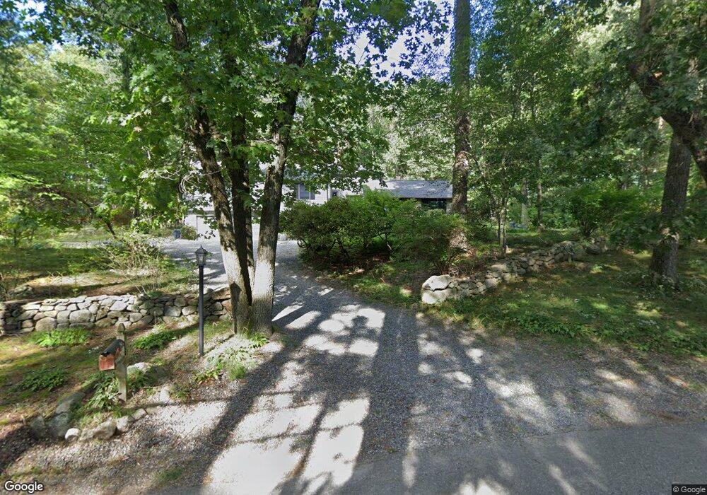
100 Spring Grove Rd Andover, MA 01810
Southern Andover NeighborhoodEstimated Value: $900,000 - $1,462,000
3
Beds
3
Baths
1,938
Sq Ft
$626/Sq Ft
Est. Value
About This Home
This home is located at 100 Spring Grove Rd, Andover, MA 01810 and is currently estimated at $1,212,238, approximately $625 per square foot. 100 Spring Grove Rd is a home located in Essex County with nearby schools including South Elementary School, Doherty Middle School, and Andover High School.
Ownership History
Date
Name
Owned For
Owner Type
Purchase Details
Closed on
May 22, 2012
Sold by
Park Yong I and Park Heewon
Bought by
Kim Seonho and Lee Hwajoo
Current Estimated Value
Home Financials for this Owner
Home Financials are based on the most recent Mortgage that was taken out on this home.
Original Mortgage
$432,900
Interest Rate
3.21%
Mortgage Type
New Conventional
Purchase Details
Closed on
Aug 12, 2011
Sold by
Mazonson Marcy A
Bought by
Park Yong I and Park Heewon
Home Financials for this Owner
Home Financials are based on the most recent Mortgage that was taken out on this home.
Original Mortgage
$428,000
Interest Rate
4.51%
Mortgage Type
Purchase Money Mortgage
Purchase Details
Closed on
Jun 18, 1991
Sold by
Leboutillier Winifred
Bought by
Mazonson Marcy A
Create a Home Valuation Report for This Property
The Home Valuation Report is an in-depth analysis detailing your home's value as well as a comparison with similar homes in the area
Home Values in the Area
Average Home Value in this Area
Purchase History
| Date | Buyer | Sale Price | Title Company |
|---|---|---|---|
| Kim Seonho | $555,000 | -- | |
| Park Yong I | $535,000 | -- | |
| Mazonson Marcy A | $230,000 | -- | |
| Kim Seonho | $555,000 | -- | |
| Park Yong I | $535,000 | -- | |
| Mazonson Marcy A | $230,000 | -- |
Source: Public Records
Mortgage History
| Date | Status | Borrower | Loan Amount |
|---|---|---|---|
| Previous Owner | Kim Seonho | $432,900 | |
| Previous Owner | Park Yong I | $428,000 |
Source: Public Records
Tax History
| Year | Tax Paid | Tax Assessment Tax Assessment Total Assessment is a certain percentage of the fair market value that is determined by local assessors to be the total taxable value of land and additions on the property. | Land | Improvement |
|---|---|---|---|---|
| 2024 | $11,573 | $898,500 | $564,600 | $333,900 |
| 2023 | $10,955 | $802,000 | $508,600 | $293,400 |
| 2022 | $10,467 | $716,900 | $450,100 | $266,800 |
| 2021 | $9,998 | $653,900 | $409,200 | $244,700 |
| 2020 | $9,584 | $638,500 | $399,200 | $239,300 |
| 2019 | $9,417 | $616,700 | $383,700 | $233,000 |
| 2018 | $9,004 | $575,700 | $361,800 | $213,900 |
| 2017 | $8,603 | $566,700 | $354,700 | $212,000 |
| 2016 | $8,398 | $566,700 | $354,700 | $212,000 |
| 2015 | $8,097 | $540,900 | $341,200 | $199,700 |
Source: Public Records
Map
Nearby Homes
- 98 Spring Grove Rd
- 45 Sunset Rock Rd
- 39 Sunset Rock Rd
- 93 Spring Grove Rd
- 99 Spring Grove Rd
- 44 Sunset Rock Rd
- 88 Spring Grove Rd
- 37 Sunset Rock Rd
- 40 Sunset Rock Rd
- 46 Sunset Rock Rd
- 46 Sunset Rock Rd
- 50 Sunset Rock Rd
- 55 Sunset Rock Rd
- 35 Sunset Rock Rd
- 38 Sunset Rock Rd
- 36 Sunset Rock Rd
- 31 Sunset Rock Rd
- 84 Spring Grove Rd
- 57 Sunset Rock Rd
- 3 McDonald Cir
Your Personal Tour Guide
Ask me questions while you tour the home.