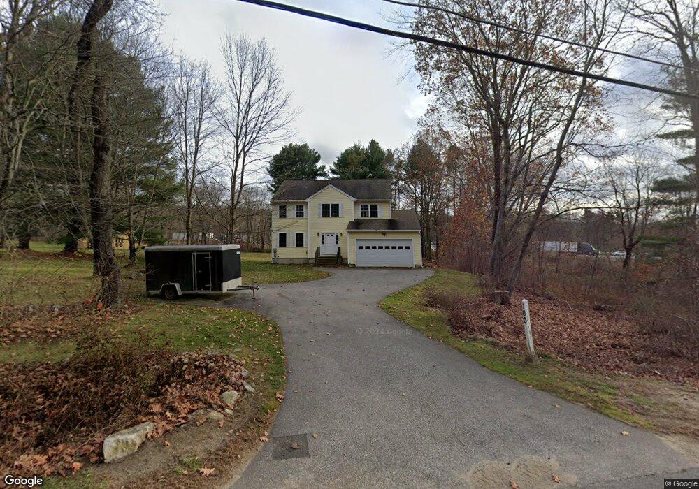
100 Stafford St Charlton, MA 01507
Estimated Value: $544,000 - $599,000
3
Beds
3
Baths
2,304
Sq Ft
$248/Sq Ft
Est. Value
About This Home
This home is located at 100 Stafford St, Charlton, MA 01507 and is currently estimated at $571,636, approximately $248 per square foot. 100 Stafford St is a home located in Worcester County with nearby schools including Shepherd Hill Regional High School.
Ownership History
Date
Name
Owned For
Owner Type
Purchase Details
Closed on
Jan 24, 2005
Sold by
Bellerive Arthur A and Bellerive Catherine W
Bought by
Rogers James J
Current Estimated Value
Home Financials for this Owner
Home Financials are based on the most recent Mortgage that was taken out on this home.
Original Mortgage
$279,920
Interest Rate
5.71%
Mortgage Type
Purchase Money Mortgage
Create a Home Valuation Report for This Property
The Home Valuation Report is an in-depth analysis detailing your home's value as well as a comparison with similar homes in the area
Home Values in the Area
Average Home Value in this Area
Purchase History
| Date | Buyer | Sale Price | Title Company |
|---|---|---|---|
| Rogers James J | $349,900 | -- | |
| Rogers James J | $349,900 | -- |
Source: Public Records
Mortgage History
| Date | Status | Borrower | Loan Amount |
|---|---|---|---|
| Open | Rogers James J | $244,850 | |
| Closed | Rogers James J | $279,920 |
Source: Public Records
Tax History Compared to Growth
Tax History
| Year | Tax Paid | Tax Assessment Tax Assessment Total Assessment is a certain percentage of the fair market value that is determined by local assessors to be the total taxable value of land and additions on the property. | Land | Improvement |
|---|---|---|---|---|
| 2025 | $5,125 | $460,500 | $81,600 | $378,900 |
| 2024 | $4,959 | $437,300 | $78,600 | $358,700 |
| 2023 | $4,838 | $397,500 | $75,400 | $322,100 |
| 2022 | $5,150 | $387,500 | $74,200 | $313,300 |
| 2021 | $4,731 | $315,200 | $72,400 | $242,800 |
| 2020 | $4,720 | $315,900 | $66,400 | $249,500 |
| 2019 | $4,666 | $315,900 | $66,400 | $249,500 |
| 2018 | $4,265 | $315,900 | $66,400 | $249,500 |
| 2017 | $4,010 | $284,400 | $60,400 | $224,000 |
| 2016 | $3,919 | $284,400 | $60,400 | $224,000 |
| 2015 | $3,817 | $284,400 | $60,400 | $224,000 |
| 2014 | $3,685 | $291,100 | $64,700 | $226,400 |
Source: Public Records
Map
Nearby Homes
- 102 Worcester Rd
- 38 Stevens Park Rd
- 0 Trolley Crossing Rd
- 25 N Main St Unit A
- 7 Little Muggett Rd
- 8 Northside Rd
- 5 Carpenter Hill Rd
- 7 L Stevens Rd Unit A
- 7 L Stevens Rd Unit B
- 199 Center Depot Rd
- 0 Worcester Rd
- 208 Sunset Dr
- 28 Southbridge Rd Unit 402
- 57 Carpenter Hill Rd
- 9 Knollwood Dr
- 6 S Sullivan Rd
- Lot 3 0 N Sullivan Rd
- Lot 6 0 N Sullivan Rd
- Lot 5 0 N Sullivan Rd
- Lot 4 0 N Sullivan Rd
- 106 Stafford St
- 93 Stafford St
- 105 Stafford St
- 1 Peaceful Ln
- 5 Peaceful Ln
- 115 Stafford St Unit 68
- 115 Stafford St Unit 67
- 115 Stafford St Unit 66
- 115 Stafford St Unit 65
- 48 H Putnam Rd
- 9 Peaceful Ln
- 6 Peaceful Ln
- 54 H Putnam Rd
- 56 H Putnam Rd
- 117 Stafford St Unit 64
- 117 Stafford St Unit 63
- 117 Stafford St Unit 62
- 117 Stafford St Unit 61
- 10 Peaceful Ln
- 51 H Putnam Rd