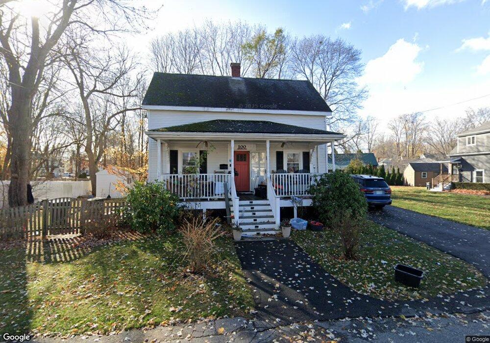
100 Stark St Portsmouth, NH 03801
West End NeighborhoodEstimated Value: $856,716 - $1,090,000
4
Beds
3
Baths
1,764
Sq Ft
$554/Sq Ft
Est. Value
About This Home
This home is located at 100 Stark St, Portsmouth, NH 03801 and is currently estimated at $977,429, approximately $554 per square foot. 100 Stark St is a home located in Rockingham County with nearby schools including New Franklin School, Portsmouth Middle School, and Portsmouth High School.
Ownership History
Date
Name
Owned For
Owner Type
Purchase Details
Closed on
Aug 27, 2012
Sold by
Souriolle Edmond R and Souriolle Susan F
Bought by
Killian Glenn A and Killian Moirrissette S
Current Estimated Value
Create a Home Valuation Report for This Property
The Home Valuation Report is an in-depth analysis detailing your home's value as well as a comparison with similar homes in the area
Home Values in the Area
Average Home Value in this Area
Purchase History
| Date | Buyer | Sale Price | Title Company |
|---|---|---|---|
| Killian Glenn A | $380,000 | -- |
Source: Public Records
Mortgage History
| Date | Status | Borrower | Loan Amount |
|---|---|---|---|
| Previous Owner | Killian Glenn A | $290,500 | |
| Previous Owner | Killian Glenn A | $285,500 | |
| Previous Owner | Killian Glenn A | $255,950 | |
| Previous Owner | Killian Glenn A | $215,300 |
Source: Public Records
Tax History Compared to Growth
Tax History
| Year | Tax Paid | Tax Assessment Tax Assessment Total Assessment is a certain percentage of the fair market value that is determined by local assessors to be the total taxable value of land and additions on the property. | Land | Improvement |
|---|---|---|---|---|
| 2024 | $9,008 | $805,700 | $360,200 | $445,500 |
| 2023 | $8,197 | $508,200 | $247,400 | $260,800 |
| 2022 | $7,725 | $508,200 | $247,400 | $260,800 |
| 2021 | $7,638 | $508,200 | $247,400 | $260,800 |
| 2020 | $7,471 | $508,200 | $247,400 | $260,800 |
| 2019 | $7,552 | $508,200 | $247,400 | $260,800 |
| 2018 | $7,104 | $448,500 | $224,900 | $223,600 |
| 2017 | $6,898 | $448,500 | $224,900 | $223,600 |
| 2016 | $7,063 | $414,500 | $171,200 | $243,300 |
| 2015 | $6,959 | $414,500 | $171,200 | $243,300 |
| 2014 | $7,117 | $393,200 | $142,800 | $250,400 |
| 2013 | $7,042 | $393,200 | $142,800 | $250,400 |
| 2012 | $5,118 | $291,600 | $142,800 | $148,800 |
Source: Public Records
Map
Nearby Homes
- 255 Thornton St
- #3 Woodbury Reserve Rd Unit 3
- #5 Woodbury Reserve Unit 5
- #7 Woodbury Reserve Rd Unit 7
- #1 Woodbury Reserve Rd
- #2 Woodbury Reserve Unit 2
- 216 Woodbury Ave
- 6 Boyd Rd
- 199 Mcdonough St
- 50 Cate St Unit 4
- 490 Islington St Unit 1
- 224 Cate St
- 0 Elm Ct
- 15 Eden Ln Unit 1
- 31 Eden Ln Unit 5
- 19 Eden Ln Unit 2
- 27 Eden Ln Unit 4
- 92 Brewster St
- 9 Prospect St Unit 1
- 99 Foundry Place Unit 106