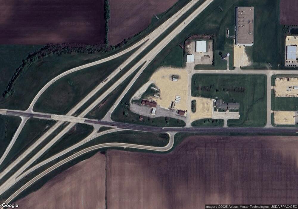
100 State Highway 16 Dexter, MN 55926
Estimated Value: $505,857
--
Bed
--
Bath
4,752
Sq Ft
$106/Sq Ft
Est. Value
About This Home
This home is located at 100 State Highway 16, Dexter, MN 55926 and is currently estimated at $505,857, approximately $106 per square foot. 100 State Highway 16 is a home located in Mower County with nearby schools including Southland Elementary School, Southland Middle School, and Southland Senior High School.
Ownership History
Date
Name
Owned For
Owner Type
Purchase Details
Closed on
Aug 3, 2017
Sold by
Shaw Craig Alan and Shaw Katie J
Bought by
Grafe Properties Llc
Current Estimated Value
Purchase Details
Closed on
Dec 14, 2011
Sold by
First Farmers & Merchants State Bank
Bought by
Shaw Craig Alan
Purchase Details
Closed on
Oct 29, 2008
Sold by
Barthel Ronald J and Barthel Anna H
Bought by
First Farmers & Merchants State Bank Of
Create a Home Valuation Report for This Property
The Home Valuation Report is an in-depth analysis detailing your home's value as well as a comparison with similar homes in the area
Home Values in the Area
Average Home Value in this Area
Purchase History
| Date | Buyer | Sale Price | Title Company |
|---|---|---|---|
| Grafe Properties Llc | $325,000 | -- | |
| Shaw Craig Alan | $250,000 | None Available | |
| First Farmers & Merchants State Bank Of | $724,351 | None Available |
Source: Public Records
Tax History Compared to Growth
Tax History
| Year | Tax Paid | Tax Assessment Tax Assessment Total Assessment is a certain percentage of the fair market value that is determined by local assessors to be the total taxable value of land and additions on the property. | Land | Improvement |
|---|---|---|---|---|
| 2025 | $9,590 | $380,800 | $139,500 | $241,300 |
| 2024 | $9,590 | $370,300 | $134,500 | $235,800 |
| 2023 | $9,748 | $367,600 | $134,500 | $233,100 |
| 2022 | $10,748 | $352,500 | $134,500 | $218,000 |
| 2021 | $9,554 | $318,700 | $109,500 | $209,200 |
| 2020 | $9,902 | $286,500 | $109,500 | $177,000 |
| 2018 | $3,666 | $286,500 | $109,500 | $177,000 |
| 2017 | $7,332 | $0 | $0 | $0 |
| 2016 | $7,442 | $0 | $0 | $0 |
| 2015 | $12,584 | $0 | $0 | $0 |
| 2012 | $12,584 | $0 | $0 | $0 |
Source: Public Records
Map
Nearby Homes
- 254 Pleasant St
- TBD N Pine St
- TBD Cedar L6b1 St
- TBD Cedar L3b2 St
- TBD S Adams St
- Tbd 256th St
- 309 2nd Ct SE
- XXX 257th St
- 25635 739th Ave
- TBD 1st Ave SE
- 213 5th St NE
- TBD Glynn (L7b1) Ave NE
- TBD Glynn (L6b2) Ave NE
- xxx 739th Ave
- 101 Brittany Way SE
- 109 Brittany Way SE
- 527 Elliot Dr SE
- 19068 620th Ave
- 31229 710th Ave
- TBD 265th St
- 214 Industrial Park Dr
- 241 Cedar St
- 240 Cedar St
- 239 Cedar St
- 249 Pleasant St
- 251 Pleasant St
- 236 Cedar St
- TBD Cedar L1b2 St
- 253 Pleasant St
- 280 Pine Place
- 241 Pleasant St
- 235 Pleasant St
- 237 Pleasant St
- 280 Pine Place
- 245 Pleasant St
- 248 Pleasant St
- 284 Pine Place
- 277 Pine St
- 250 Pleasant St
- 244 1/2 Pleasant St
