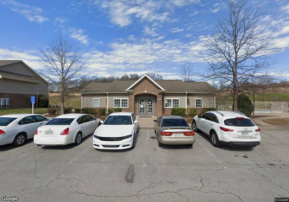
100 Stonebridge Way Columbia, TN 38401
Estimated Value: $7,299,000 - $7,372,529
3
Beds
2
Baths
1,180
Sq Ft
$6,219/Sq Ft
Est. Value
About This Home
This home is located at 100 Stonebridge Way, Columbia, TN 38401 and is currently estimated at $7,338,510, approximately $6,219 per square foot. 100 Stonebridge Way is a home located in Maury County with nearby schools including R. Howell Elementary School, E.A. Cox Middle School, and Columbia Central High School.
Ownership History
Date
Name
Owned For
Owner Type
Purchase Details
Closed on
Nov 14, 2018
Sold by
Stonebridge Lp
Bought by
Tennessee Northstar 1 Llc
Current Estimated Value
Home Financials for this Owner
Home Financials are based on the most recent Mortgage that was taken out on this home.
Original Mortgage
$3,211,000
Outstanding Balance
$2,817,657
Interest Rate
4.7%
Mortgage Type
Commercial
Estimated Equity
$4,520,853
Purchase Details
Closed on
Nov 2, 2005
Bought by
Stonebridge Lp Ste 205
Create a Home Valuation Report for This Property
The Home Valuation Report is an in-depth analysis detailing your home's value as well as a comparison with similar homes in the area
Home Values in the Area
Average Home Value in this Area
Purchase History
| Date | Buyer | Sale Price | Title Company |
|---|---|---|---|
| Tennessee Northstar 1 Llc | $4,100,000 | Tennessee Valley Title | |
| Stonebridge Lp Ste 205 | $280,000 | -- |
Source: Public Records
Mortgage History
| Date | Status | Borrower | Loan Amount |
|---|---|---|---|
| Open | Tennessee Northstar 1 Llc | $3,211,000 |
Source: Public Records
Tax History Compared to Growth
Tax History
| Year | Tax Paid | Tax Assessment Tax Assessment Total Assessment is a certain percentage of the fair market value that is determined by local assessors to be the total taxable value of land and additions on the property. | Land | Improvement |
|---|---|---|---|---|
| 2024 | $29,688 | $1,554,320 | $74,960 | $1,479,360 |
| 2023 | $29,688 | $1,554,320 | $74,960 | $1,479,360 |
| 2022 | $42,513 | $1,554,320 | $74,960 | $1,479,360 |
| 2021 | $42,513 | $1,441,200 | $57,680 | $1,383,520 |
| 2020 | $48,945 | $1,441,200 | $57,680 | $1,383,520 |
| 2019 | $33,428 | $1,441,200 | $57,680 | $1,383,520 |
| 2018 | $32,231 | $1,441,200 | $57,680 | $1,383,520 |
| 2017 | $54,331 | $1,276,880 | $68,880 | $1,208,000 |
| 2016 | $57,875 | $1,360,160 | $68,880 | $1,291,280 |
| 2015 | $61,715 | $1,520,080 | $68,880 | $1,451,200 |
| 2014 | $68,107 | $1,677,520 | $68,880 | $1,608,640 |
Source: Public Records
Map
Nearby Homes
- 1504 Potter Dr
- 1057 Mapleash Ave
- 2529 Precast Dr
- 1509 Bradshaw Dr
- 2600 Sherman Way
- 202 Hanson Ln
- 211 Hanson Ln
- 609 E 11th St
- 412 Mooresville Pike
- 1025 Mapleash Ave
- 0 Horizon Way Unit RTC2769904
- 0 E End St
- 310 E 15th St
- 413 Hughes Ave
- 1104 Bridge St
- 509 White St
- 1117 S Glade St
- 317 E 17th St
- 309 Polk St
- 311 E 17th St
- 79 Hanson Ln
- 0 Bouchard Ct Unit 2260074
- 1234 Bradley Lane Lot 18
- 0 Bouchard Ct Unit 2177899
- 0 Bouchard Ct Unit 2169834
- 0 Bouchard Ct Unit 2169828
- 0 Bouchard Ct Unit 2128690
- 0 Bouchard Ct Unit 2126912
- 0 Bouchard Ct Unit 2126847
- 0 Bouchard Ct Unit 2126483
- 0 Bouchard Ct Unit 2126480
- 90 Freedom Ln
- 1400 Potter Dr
- 1404 Potter Dr
- 1047 Potter Dr
- 1406 Potter Dr
- 1403 Potter Dr
- 1401 Potter Dr
- 1408 Potter Dr
- 1410 Potter Dr