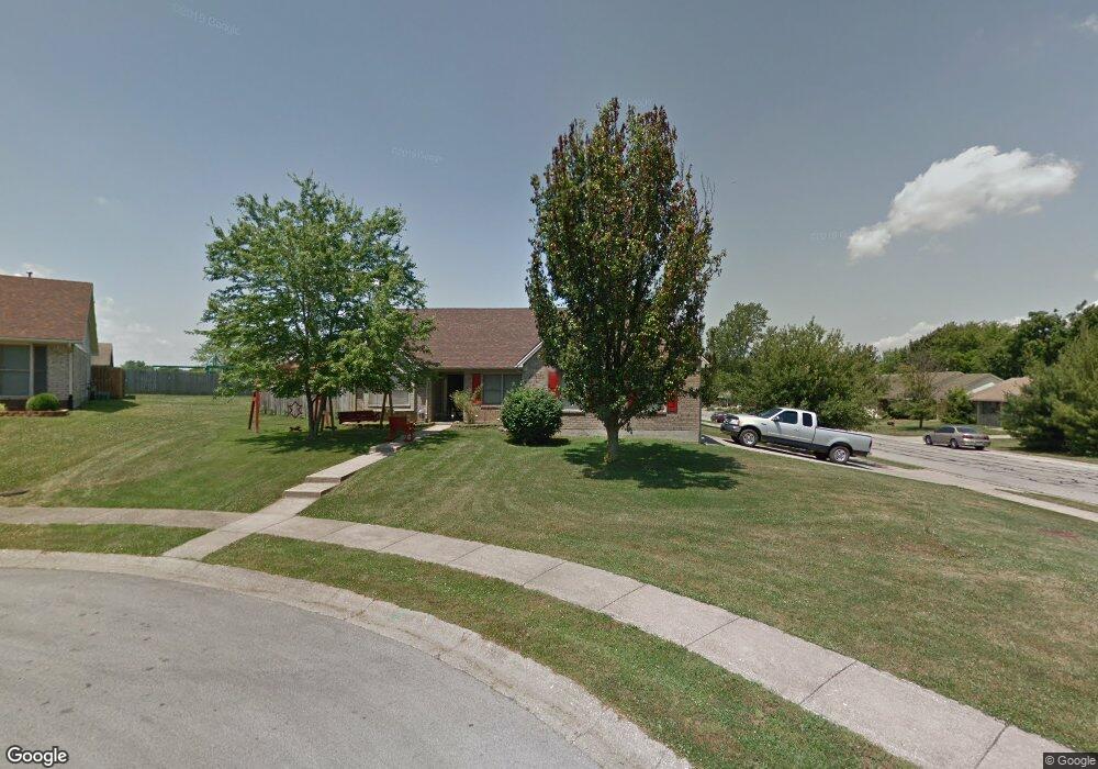
100 Tennyson Cir Georgetown, KY 40324
Bradford Place NeighborhoodEstimated Value: $287,000 - $305,000
3
Beds
2
Baths
1,564
Sq Ft
$191/Sq Ft
Est. Value
About This Home
This home is located at 100 Tennyson Cir, Georgetown, KY 40324 and is currently estimated at $298,979, approximately $191 per square foot. 100 Tennyson Cir is a home located in Scott County with nearby schools including Southern Elementary School, Georgetown Middle School, and Scott County High School.
Ownership History
Date
Name
Owned For
Owner Type
Purchase Details
Closed on
Dec 4, 2008
Sold by
Casey Rosemary H F
Bought by
Casey Ronnie E
Current Estimated Value
Purchase Details
Closed on
Apr 16, 2005
Sold by
Casey Ronnie E and Casey Rosemary H F
Bought by
Casey Ronnie E and Casey Rosemary H F
Create a Home Valuation Report for This Property
The Home Valuation Report is an in-depth analysis detailing your home's value as well as a comparison with similar homes in the area
Home Values in the Area
Average Home Value in this Area
Purchase History
| Date | Buyer | Sale Price | Title Company |
|---|---|---|---|
| Casey Ronnie E | -- | None Available | |
| Casey Ronnie E | -- | None Available |
Source: Public Records
Tax History
| Year | Tax Paid | Tax Assessment Tax Assessment Total Assessment is a certain percentage of the fair market value that is determined by local assessors to be the total taxable value of land and additions on the property. | Land | Improvement |
|---|---|---|---|---|
| 2025 | $1,770 | $247,800 | $0 | $0 |
| 2024 | $1,552 | $218,900 | $0 | $0 |
| 2023 | $1,494 | $211,100 | $40,000 | $171,100 |
| 2022 | $1,271 | $190,000 | $33,000 | $157,000 |
| 2021 | $1,261 | $174,400 | $33,000 | $141,400 |
| 2020 | $1,013 | $157,200 | $33,000 | $124,200 |
| 2019 | $966 | $150,000 | $0 | $0 |
| 2018 | $935 | $145,350 | $0 | $0 |
| 2017 | $940 | $145,350 | $0 | $0 |
| 2016 | $823 | $139,096 | $0 | $0 |
| 2015 | $808 | $101,000 | $0 | $0 |
| 2014 | $819 | $98,768 | $0 | $0 |
| 2011 | $84 | $134,768 | $0 | $0 |
Source: Public Records
Map
Nearby Homes
- 104 Bronte Place
- 1117 Pawnee Trail
- 100 Hemingway Ct
- 206 Hiawatha Trail
- 1003 Parkside Dr
- 139 E Showalter Dr
- 113 Walden Cove Unit 3I
- 115 Victor Place
- 1026 Parkside Dr
- 512 Pocahontas Trail
- 106 Ransom Trace
- 1010 Walker Way
- 230 E Showalter Dr
- 232 W Showalter Dr
- 305 Yorktown Ct
- 208 Montgomery Ave
- 103 Crescent Way
- 107 Crescent Way
- 109 Crescent Way
- 101 Crescent Way
- 102 Tennyson Cir
- 126 Hawthorne Dr
- 129 Hawthorne Dr
- 106 Bronte Place
- 128 Hawthorne Dr
- 104 Tennyson Cir
- 130 Hatwthorn Dr
- 101 Tennyson Cir
- 103 Tennyson Cir
- 131 Hawthorne Dr
- 102 Bronte Place
- 132 Hawthorne Dr
- 105 Bronte Place
- 110 Browning Dr
- 106 Browning Dr
- 133 Hawthorne Dr
- 108 Browning Dr
- 113 Hawthorne Dr
- 104 Browning Dr
- 100 Bronte Place
Your Personal Tour Guide
Ask me questions while you tour the home.