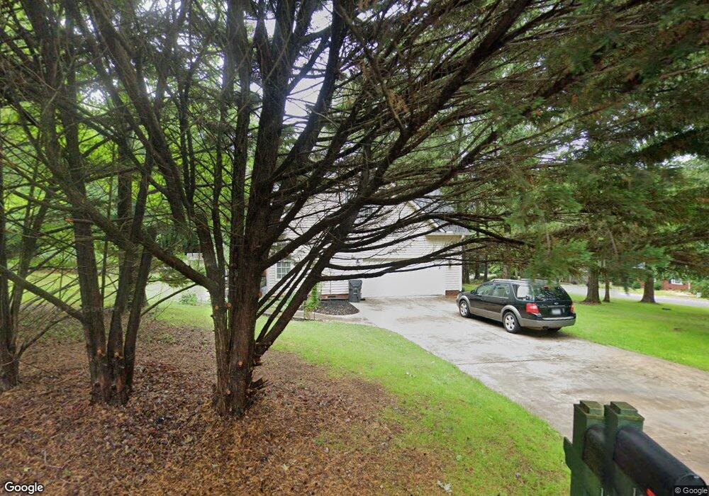
100 Thom Trail Easley, SC 29642
Estimated Value: $383,765 - $510,000
3
Beds
--
Bath
2,714
Sq Ft
$175/Sq Ft
Est. Value
About This Home
This home is located at 100 Thom Trail, Easley, SC 29642 and is currently estimated at $476,191, approximately $175 per square foot. 100 Thom Trail is a home located in Anderson County with nearby schools including Hunt Meadows Elementary School, Wren Middle School, and Wren High School.
Ownership History
Date
Name
Owned For
Owner Type
Purchase Details
Closed on
Sep 26, 2022
Sold by
Legare Mark Allen
Bought by
Legare Mark Allen and Legare Martina
Current Estimated Value
Purchase Details
Closed on
Feb 24, 2005
Sold by
Barnard Julie B
Bought by
Legare Mark Allen and Legare Martina
Home Financials for this Owner
Home Financials are based on the most recent Mortgage that was taken out on this home.
Original Mortgage
$194,400
Interest Rate
5.6%
Mortgage Type
New Conventional
Purchase Details
Closed on
Nov 15, 2001
Sold by
Dobson Products
Bought by
Barnard Howard D
Create a Home Valuation Report for This Property
The Home Valuation Report is an in-depth analysis detailing your home's value as well as a comparison with similar homes in the area
Home Values in the Area
Average Home Value in this Area
Purchase History
| Date | Buyer | Sale Price | Title Company |
|---|---|---|---|
| Legare Mark Allen | -- | -- | |
| Legare Mark Allen | $243,000 | -- | |
| Barnard Howard D | $225,000 | -- |
Source: Public Records
Mortgage History
| Date | Status | Borrower | Loan Amount |
|---|---|---|---|
| Previous Owner | Legare Mark Allen | $194,400 |
Source: Public Records
Tax History
| Year | Tax Paid | Tax Assessment Tax Assessment Total Assessment is a certain percentage of the fair market value that is determined by local assessors to be the total taxable value of land and additions on the property. | Land | Improvement |
|---|---|---|---|---|
| 2024 | $1,537 | $11,090 | $1,860 | $9,230 |
| 2023 | $1,417 | $11,090 | $1,860 | $9,230 |
| 2022 | $1,366 | $11,090 | $1,860 | $9,230 |
| 2021 | $1,223 | $8,560 | $1,000 | $7,560 |
| 2020 | $1,247 | $8,560 | $1,000 | $7,560 |
| 2019 | $1,247 | $8,560 | $1,000 | $7,560 |
| 2018 | $1,171 | $8,560 | $1,000 | $7,560 |
| 2017 | -- | $8,560 | $1,000 | $7,560 |
| 2016 | $1,187 | $8,830 | $880 | $7,950 |
| 2015 | $1,263 | $8,830 | $880 | $7,950 |
| 2014 | $1,247 | $8,830 | $880 | $7,950 |
Source: Public Records
Map
Nearby Homes
- 101 Harvester Row
- 132 Deer Creek Ct
- 225 Arrowhead Trail
- 215 Wrentree Dr
- 103 Wrentree Dr
- 154 Woodstone Dr
- 5 Knob Creek Ct
- 108 Still Meadow Ln
- Oceana Plan at Anderson Oaks
- Hamilton Plan at Anderson Oaks
- Morganton Plan at Anderson Oaks
- Fletcher Plan at Anderson Oaks
- 104 Upland Dr
- 104 Teal Ct
- 606 N Meadows Ln
- 139 Crawford Lake Dr
- 605 N Meadows Ln
- 42 Great Lawn Dr
- 2 Wood Creek Dr
- 34 Great Lawn Dr
- 113 Gayle Ridge Dr
- 109 Gayle Ridge Dr
- 102 Thom Trail
- 108 Gayle Ridge Dr
- 103 Thom Trail
- 101 Jordan Close
- 107 Gayle Ridge Dr
- 117 Southridge Ct
- 112 Gayle Ridge Dr
- 105 Thom Trail
- 100 Jordan Close
- 106 Thom Trail
- 114 Gayle Ridge Dr
- 115 Cage Cove Ln
- 107 Thom Trail
- 108 Thom Trail
- 102 Gayle Ridge Dr
- 103 Gayle Ridge Dr
- 110 Thom Trail
- 109 Thom Trail
Your Personal Tour Guide
Ask me questions while you tour the home.