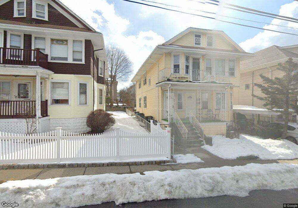
100 W Adams St Somerville, MA 02144
West Somerville NeighborhoodEstimated Value: $1,163,000 - $1,276,000
4
Beds
2
Baths
2,362
Sq Ft
$515/Sq Ft
Est. Value
About This Home
This home is located at 100 W Adams St, Somerville, MA 02144 and is currently estimated at $1,217,433, approximately $515 per square foot. 100 W Adams St is a home located in Middlesex County with nearby schools including Somerville High School, International School of Boston, and Lesley Ellis School.
Ownership History
Date
Name
Owned For
Owner Type
Purchase Details
Closed on
May 25, 2023
Sold by
Lou Hsian-Jier W
Bought by
Hsianjier Wendy Lou Ret and Lou
Current Estimated Value
Purchase Details
Closed on
Mar 11, 2009
Sold by
Moscaritolo Freddie A
Bought by
Lou Thomas Y and Lou Hsianjier W
Home Financials for this Owner
Home Financials are based on the most recent Mortgage that was taken out on this home.
Original Mortgage
$364,500
Interest Rate
5.18%
Mortgage Type
Purchase Money Mortgage
Create a Home Valuation Report for This Property
The Home Valuation Report is an in-depth analysis detailing your home's value as well as a comparison with similar homes in the area
Home Values in the Area
Average Home Value in this Area
Purchase History
| Date | Buyer | Sale Price | Title Company |
|---|---|---|---|
| Hsianjier Wendy Lou Ret | -- | None Available | |
| Lou Thomas Y | $486,000 | -- |
Source: Public Records
Mortgage History
| Date | Status | Borrower | Loan Amount |
|---|---|---|---|
| Previous Owner | Lou Thomas Y | $364,500 |
Source: Public Records
Tax History Compared to Growth
Tax History
| Year | Tax Paid | Tax Assessment Tax Assessment Total Assessment is a certain percentage of the fair market value that is determined by local assessors to be the total taxable value of land and additions on the property. | Land | Improvement |
|---|---|---|---|---|
| 2025 | $10,060 | $922,100 | $571,200 | $350,900 |
| 2024 | $9,508 | $903,800 | $571,200 | $332,600 |
| 2023 | $9,495 | $918,300 | $571,200 | $347,100 |
| 2022 | $8,775 | $862,000 | $544,000 | $318,000 |
| 2021 | $8,565 | $840,500 | $540,000 | $300,500 |
| 2020 | $8,426 | $835,100 | $540,400 | $294,700 |
| 2019 | $7,941 | $738,000 | $491,900 | $246,100 |
| 2018 | $7,694 | $680,300 | $447,200 | $233,100 |
| 2017 | $7,414 | $635,300 | $421,900 | $213,400 |
| 2016 | $7,543 | $602,000 | $376,800 | $225,200 |
| 2015 | $7,179 | $569,300 | $348,000 | $221,300 |
Source: Public Records
Map
Nearby Homes
- 21 High St
- 16 High St Unit 2
- 9 Woods Ave
- 31 Fairfax St
- 44 Woods Ave Unit 44
- 327 Alewife Brook Pkwy Unit A
- 33 Conwell Ave
- 16 Hamilton Rd
- 69 Sterling St
- 235 Powder House Blvd
- 202 Powder House Blvd Unit 2
- 6 Hamilton Rd Unit 6
- 34 Belknap St
- 395 Alewife Brook Pkwy Unit 2C
- 395 Alewife Brook Pkwy Unit PH E
- 11 Watson St Unit 1
- 11 Watson St Unit 2
- 76 Orchard St
- 12 Arizona Terrace Unit 2
- 85 Marshall St
- 100 W Adams St
- 100 W Adams St Unit 1A
- 100 W Adams St Unit 1CP
- 100 W Adams St Unit 2
- 102 W Adams St Unit 3
- 102 W Adams St Unit 2
- 102 W Adams St Unit 1
- 100 W Adams St Unit 100T
- 100 W Adams St Unit 100
- 102 W Adams St
- 96 W Adams St
- 96 W Adams St Unit 1
- 96 W Adams St Unit T
- 96 W Adams St Unit A
- 96 W Adams St
- 96 W Adams St Unit 2
- 106 W Adams St
- 106 W Adams St Unit 3
- 104 W Adams St Unit 104
- 104 W Adams St Unit 6-1