100 Waynesborough Way Mankato, MN 56001
Country Club Estates NeighborhoodEstimated Value: $372,990 - $387,000
4
Beds
2
Baths
1,271
Sq Ft
$299/Sq Ft
Est. Value
About This Home
This home is located at 100 Waynesborough Way, Mankato, MN 56001 and is currently estimated at $380,498, approximately $299 per square foot. 100 Waynesborough Way is a home located in Blue Earth County with nearby schools including Franklin Elementary School, Prairie Winds Middle School, and Mankato East Senior High School.
Ownership History
Date
Name
Owned For
Owner Type
Purchase Details
Closed on
Mar 2, 2020
Sold by
Ho Trong
Bought by
Cramer Jonathan and Cramer Elissa
Current Estimated Value
Home Financials for this Owner
Home Financials are based on the most recent Mortgage that was taken out on this home.
Original Mortgage
$247,950
Outstanding Balance
$220,010
Interest Rate
3.6%
Mortgage Type
New Conventional
Estimated Equity
$160,488
Purchase Details
Closed on
Apr 29, 2019
Sold by
Huynh Tony and Ho Linda
Bought by
Ho Trong
Create a Home Valuation Report for This Property
The Home Valuation Report is an in-depth analysis detailing your home's value as well as a comparison with similar homes in the area
Home Values in the Area
Average Home Value in this Area
Purchase History
| Date | Buyer | Sale Price | Title Company |
|---|---|---|---|
| Cramer Jonathan | $261,000 | Title Resources | |
| Ho Trong | $170,000 | None Available |
Source: Public Records
Mortgage History
| Date | Status | Borrower | Loan Amount |
|---|---|---|---|
| Open | Cramer Jonathan | $247,950 |
Source: Public Records
Tax History Compared to Growth
Tax History
| Year | Tax Paid | Tax Assessment Tax Assessment Total Assessment is a certain percentage of the fair market value that is determined by local assessors to be the total taxable value of land and additions on the property. | Land | Improvement |
|---|---|---|---|---|
| 2025 | $3,686 | $350,400 | $40,600 | $309,800 |
| 2024 | $3,686 | $338,400 | $40,600 | $297,800 |
| 2023 | $3,742 | $334,000 | $40,600 | $293,400 |
| 2022 | $3,236 | $325,700 | $40,600 | $285,100 |
| 2021 | $3,172 | $265,800 | $40,600 | $225,200 |
| 2020 | $3,256 | $249,900 | $40,600 | $209,300 |
| 2019 | $2,660 | $249,900 | $40,600 | $209,300 |
| 2018 | $2,658 | $238,300 | $33,800 | $204,500 |
| 2017 | $2,328 | $222,300 | $33,800 | $188,500 |
| 2016 | $2,256 | $206,600 | $33,800 | $172,800 |
| 2015 | $20 | $201,900 | $33,800 | $168,100 |
| 2014 | $2,024 | $186,200 | $33,800 | $152,400 |
Source: Public Records
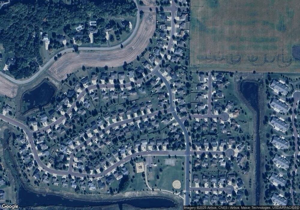
Map
Nearby Homes
- 147 Waynesborough Way
- 147 147 Waynesborough Way
- 117 Ct
- 320 320 Grovebrook Ct
- 320 Grovebrook Ct
- 101 La Costa Ln
- 640 Grayhawk Dr
- 640 640 Grayhawk Dr
- 103 Maple Dr Unit 44
- 111 Maple Dr Unit 48
- 204 Spruce Ln Unit 93
- 403 Elm Dr Unit 116
- 314 Oak Ln Unit 104
- 29 Wood Dr Unit 11
- 405 Elm Dr Unit 115
- 306 Oak Ln Unit 108
- 55 Wood Dr Unit 24
- 210 Spruce Ln Unit 90
- 409 409 Grayhawk Dr
- 34 Wood Dr Unit 38
- 104 Waynesborough Way
- 108 Waynesborough Way
- 1000 Saint Andrews Dr
- 301 Inverness Dr
- 1004 Saint Andrews Dr
- 1004 1004 St Andrews Dr
- 105 Waynesborough Way
- 105 105 Waynesborough Way
- 101 Waynesborough Way
- 112 Waynesborough Way
- 1008 Saint Andrews Dr
- 1008 1008 St Andrews Dr
- 305 Inverness Dr
- 109 Waynesborough Way
- 912 Saint Andrews Dr
- 1012 1012 St Andrews Dr
- 1012 Saint Andrews Dr
- 912 912 St Andrews Dr
- 113 Waynesborough Way
- 116 Waynesborough Way