1000 Birch Point Dr Whitefish, MT 59937
Estimated Value: $2,642,000 - $3,418,293
2
Beds
3
Baths
1,374
Sq Ft
$2,205/Sq Ft
Est. Value
About This Home
This home is located at 1000 Birch Point Dr, Whitefish, MT 59937 and is currently estimated at $3,030,147, approximately $2,205 per square foot. 1000 Birch Point Dr is a home located in Flathead County with nearby schools including L.A. Muldown School, Whitefish Middle School, and Whitefish High School.
Ownership History
Date
Name
Owned For
Owner Type
Purchase Details
Closed on
May 11, 2021
Sold by
Wise Betty B and Wise Douglas L
Bought by
Tanz Stuart A and Tanz Karen L
Current Estimated Value
Home Financials for this Owner
Home Financials are based on the most recent Mortgage that was taken out on this home.
Original Mortgage
$100,000
Outstanding Balance
$90,483
Interest Rate
3%
Mortgage Type
Future Advance Clause Open End Mortgage
Estimated Equity
$2,939,664
Create a Home Valuation Report for This Property
The Home Valuation Report is an in-depth analysis detailing your home's value as well as a comparison with similar homes in the area
Home Values in the Area
Average Home Value in this Area
Purchase History
| Date | Buyer | Sale Price | Title Company |
|---|---|---|---|
| Tanz Stuart A | -- | Insured Titles |
Source: Public Records
Mortgage History
| Date | Status | Borrower | Loan Amount |
|---|---|---|---|
| Open | Tanz Stuart A | $100,000 |
Source: Public Records
Tax History Compared to Growth
Tax History
| Year | Tax Paid | Tax Assessment Tax Assessment Total Assessment is a certain percentage of the fair market value that is determined by local assessors to be the total taxable value of land and additions on the property. | Land | Improvement |
|---|---|---|---|---|
| 2025 | $29,560 | $4,342,160 | $0 | $0 |
| 2024 | $14,437 | $2,885,200 | $0 | $0 |
| 2023 | $14,598 | $2,885,200 | $0 | $0 |
| 2022 | $13,473 | $1,893,500 | $0 | $0 |
| 2021 | $15,639 | $1,893,500 | $0 | $0 |
| 2020 | $14,160 | $1,744,100 | $0 | $0 |
| 2019 | $15,262 | $1,744,100 | $0 | $0 |
| 2018 | $15,140 | $1,698,250 | $0 | $0 |
| 2017 | $14,206 | $1,698,250 | $0 | $0 |
| 2016 | $13,596 | $1,613,520 | $0 | $0 |
| 2015 | $13,763 | $1,613,520 | $0 | $0 |
| 2014 | $13,851 | $972,785 | $0 | $0 |
Source: Public Records
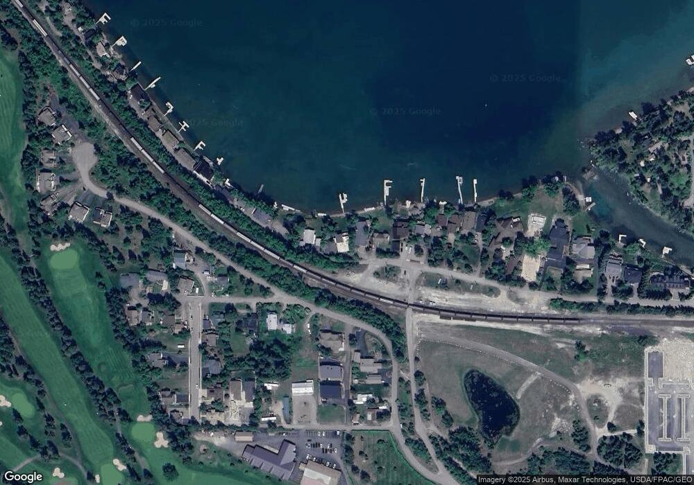
Map
Nearby Homes
- 940 Birch Point Dr
- 750 & 810 Birch Point Dr
- 1130 Birch Point Dr Unit B
- 122 Karrow Ave Unit A
- 1320 W Lakeshore Dr
- 95 Karrow Ave
- 713 2nd St W
- 220 Fox Farm Ct
- 514 2nd St W
- 438 2nd St W
- 424 2nd St W
- 205 Fox Hollow Ln
- 1331 Nelson Ln Unit Cabin I
- 428 3rd St W
- 426 3rd St W
- 230 Dakota Ave
- 318 Fairway Dr
- 100 Forest Ridge Dr Unit A
- nhn W 4th St
- 300 Bay Point Dr Unit 4A Down
- 940 Birch Point Dr
- 1010 Birch Point Dr
- NHN Birch Point Dr
- 930 Birch Point Dr
- 1020 Birch Point Dr
- 920 & 930 Birch Point Dr
- 920 Birch Point Dr
- 1030 Birch Point Dr
- 910 Birch Point Dr
- 1040 Birch Point Dr
- 520 Ramsey Ave
- 510 Ramsey Ave
- 508 Ramsey Ave
- 512 Ramsey Ave
- 850 Birch Point Dr
- 528 Ramsey Ave
- 539 Ramsey Ave
- 840 Birch Point Dr
- 1100 Birch Point Dr
- 1100 Birch Point Dr