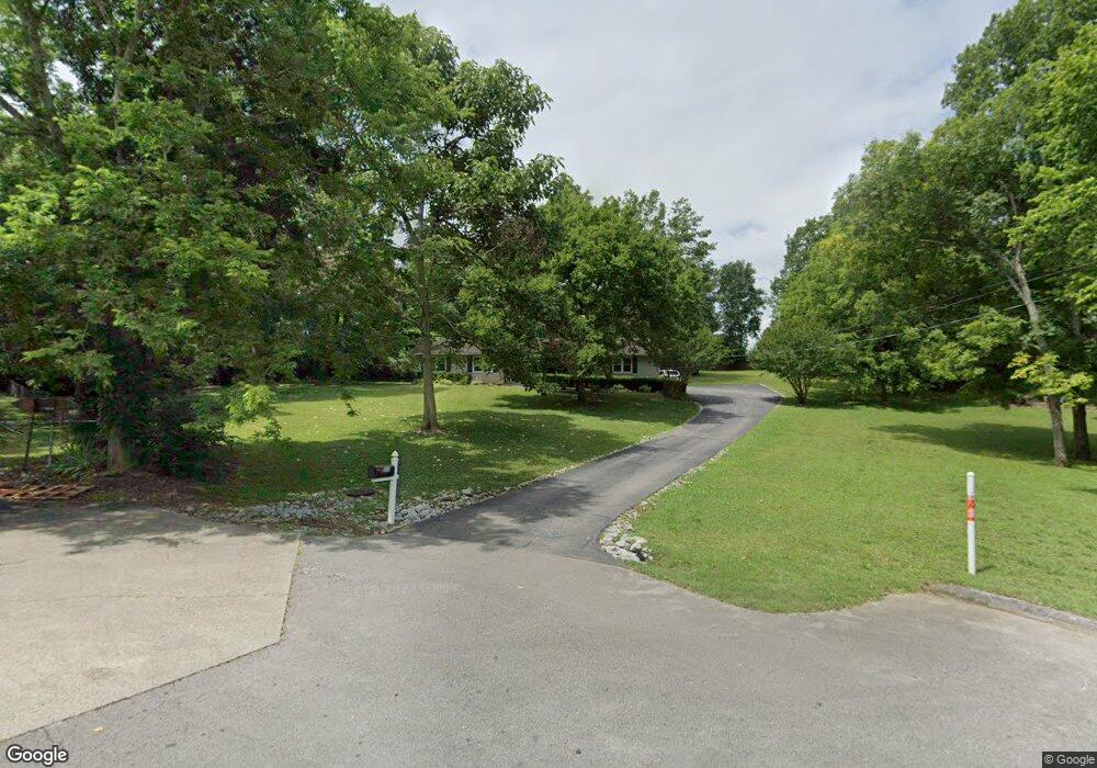
1000 Cheryl Dr Lewisburg, TN 37091
Estimated Value: $237,525 - $295,000
--
Bed
2
Baths
1,604
Sq Ft
$168/Sq Ft
Est. Value
About This Home
This home is located at 1000 Cheryl Dr, Lewisburg, TN 37091 and is currently estimated at $268,881, approximately $167 per square foot. 1000 Cheryl Dr is a home located in Marshall County with nearby schools including Marshall Elementary School, Oak Grove Elementary School, and Westhills Elementary School.
Ownership History
Date
Name
Owned For
Owner Type
Purchase Details
Closed on
Jun 6, 2013
Sold by
Overton Carey L
Bought by
Winsett Carey L and Winsett Matthew D
Current Estimated Value
Purchase Details
Closed on
Sep 26, 2001
Sold by
H U D
Bought by
Overton Carey L
Purchase Details
Closed on
Apr 11, 2001
Sold by
Talley William J
Bought by
H U D
Purchase Details
Closed on
Aug 23, 2000
Bought by
Secretary Of Housing %Golden Feather Realty S
Create a Home Valuation Report for This Property
The Home Valuation Report is an in-depth analysis detailing your home's value as well as a comparison with similar homes in the area
Home Values in the Area
Average Home Value in this Area
Purchase History
| Date | Buyer | Sale Price | Title Company |
|---|---|---|---|
| Winsett Carey L | -- | -- | |
| Overton Carey L | $68,175 | -- | |
| H U D | $97,421 | -- | |
| Secretary Of Housing %Golden Feather Realty S | $97,400 | -- |
Source: Public Records
Tax History Compared to Growth
Tax History
| Year | Tax Paid | Tax Assessment Tax Assessment Total Assessment is a certain percentage of the fair market value that is determined by local assessors to be the total taxable value of land and additions on the property. | Land | Improvement |
|---|---|---|---|---|
| 2024 | -- | $41,725 | $6,375 | $35,350 |
| 2023 | $1,295 | $41,725 | $6,375 | $35,350 |
| 2022 | $1,295 | $41,725 | $6,375 | $35,350 |
| 2021 | $1,233 | $26,500 | $3,825 | $22,675 |
| 2020 | $1,221 | $26,250 | $3,825 | $22,425 |
| 2019 | $1,182 | $26,250 | $3,825 | $22,425 |
| 2018 | $1,169 | $26,250 | $3,825 | $22,425 |
| 2017 | $1,109 | $26,250 | $3,825 | $22,425 |
| 2016 | $1,204 | $23,500 | $4,675 | $18,825 |
| 2015 | $1,097 | $23,500 | $4,675 | $18,825 |
| 2014 | $1,097 | $23,500 | $4,675 | $18,825 |
Source: Public Records
Map
Nearby Homes
- 1205 Maelee Ann Dr
- 125 Southview Dr
- 198 Southview Dr
- 104 Mackenzie Way
- MEDFORD Plan at King's Landing
- 1011 Cornersville Rd
- 103 Mackenzie Way
- 147 Mackenzie Way
- 149 Mackenzie Way
- 151 Mackenzie Way
- 153 Mackenzie Way
- 155 Mackenzie Way
- 157 Mackenzie Way
- 159 Mackenzie Way
- 185 Southview Dr
- 301 Weston Dr
- 1235 Yell Rd
- 1128 Moreno Ln
- 313 Pardo Dr
- 1361 Yell Rd
- 990 Cheryl Dr
- 1001 Cheryl Dr
- 982 Cheryl Dr
- 995 Cheryl Dr
- 1240 S Ellington Pkwy
- 985 Cheryl Dr
- 974 Cheryl Dr
- 1202 Maelee Ann Dr
- 1206 Maelee Ann Dr
- 975 Cheryl Dr
- 1204 Maelee Ann Dr
- 1208 Maelee Ann
- 966 Cheryl Dr
- 1250 S Ellington Pkwy
- 971 Cheryl Dr
- 1212 Maelee Ann Dr
- 1203 Maelee Ann Dr
- 965 Cheryl Dr
- 1207 Maelee Ann
- 1214 Maelee Ann Dr