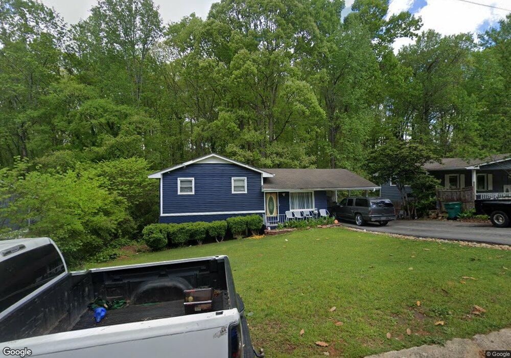
1000 Cone Rd Unit B Forest Park, GA 30297
Estimated Value: $158,717 - $202,000
3
Beds
2
Baths
975
Sq Ft
$185/Sq Ft
Est. Value
About This Home
This home is located at 1000 Cone Rd Unit B, Forest Park, GA 30297 and is currently estimated at $180,429, approximately $185 per square foot. 1000 Cone Rd Unit B is a home located in Clayton County with nearby schools including Haynie Elementary School, Babb Middle School, and Forest Park High School.
Ownership History
Date
Name
Owned For
Owner Type
Purchase Details
Closed on
Nov 13, 2003
Sold by
Federal Home Ln Mtg Corp
Bought by
Williams Dennis and Williams Maxine
Current Estimated Value
Home Financials for this Owner
Home Financials are based on the most recent Mortgage that was taken out on this home.
Original Mortgage
$60,800
Interest Rate
8.49%
Mortgage Type
New Conventional
Purchase Details
Closed on
Dec 3, 2002
Sold by
Southtrust Mtg
Bought by
Federal Home Loan Mortgage Corporation
Purchase Details
Closed on
Oct 31, 1997
Sold by
Fore James M and Fore Lucy T
Bought by
Ingram James K and Ingram Lisa
Home Financials for this Owner
Home Financials are based on the most recent Mortgage that was taken out on this home.
Original Mortgage
$70,300
Interest Rate
7.31%
Mortgage Type
New Conventional
Create a Home Valuation Report for This Property
The Home Valuation Report is an in-depth analysis detailing your home's value as well as a comparison with similar homes in the area
Home Values in the Area
Average Home Value in this Area
Purchase History
| Date | Buyer | Sale Price | Title Company |
|---|---|---|---|
| Williams Dennis | -- | -- | |
| Federal Home Loan Mortgage Corporation | -- | -- | |
| Southtrust Mtg | $76,342 | -- | |
| Ingram James K | $72,500 | -- |
Source: Public Records
Mortgage History
| Date | Status | Borrower | Loan Amount |
|---|---|---|---|
| Previous Owner | Williams Dennis | $60,800 | |
| Previous Owner | Ingram James K | $70,300 |
Source: Public Records
Tax History Compared to Growth
Tax History
| Year | Tax Paid | Tax Assessment Tax Assessment Total Assessment is a certain percentage of the fair market value that is determined by local assessors to be the total taxable value of land and additions on the property. | Land | Improvement |
|---|---|---|---|---|
| 2025 | $2,160 | $63,240 | $6,400 | $56,840 |
| 2024 | $2,118 | $60,760 | $6,400 | $54,360 |
| 2023 | $1,719 | $53,800 | $6,400 | $47,400 |
| 2022 | $1,558 | $45,160 | $6,400 | $38,760 |
| 2021 | $1,236 | $35,560 | $6,400 | $29,160 |
| 2020 | $1,119 | $31,896 | $6,400 | $25,496 |
| 2019 | $977 | $27,452 | $3,200 | $24,252 |
| 2018 | $911 | $25,606 | $3,200 | $22,406 |
| 2017 | $686 | $19,227 | $3,200 | $16,027 |
| 2016 | $667 | $18,680 | $3,200 | $15,480 |
| 2015 | $663 | $0 | $0 | $0 |
| 2014 | $526 | $15,127 | $3,200 | $11,927 |
Source: Public Records
Map
Nearby Homes
- 965 Cone Rd
- 5690 Cypress Dr
- 1063 Pine Mountain Dr
- 865 Oakdale Dr
- 960 Longleaf Dr
- 1112 Reynolds Ct Unit 4
- 5570 Ash St
- 913 Longleaf Dr
- 743 Brookwood Dr
- 5489 Ahyoka Dr
- 1124 Ponderosa Park Dr
- 927 Slash Pine Rd
- 893 Slash Pine Rd
- 766 Longleaf Dr
- 0 Ash St Unit 10563129
- 655 Shellnut Dr Unit 2
- 6057 Pinecreek Rd
- 6061 Winview Dr
- 5674 Sandhurst Dr
- 601 Melrose Dr