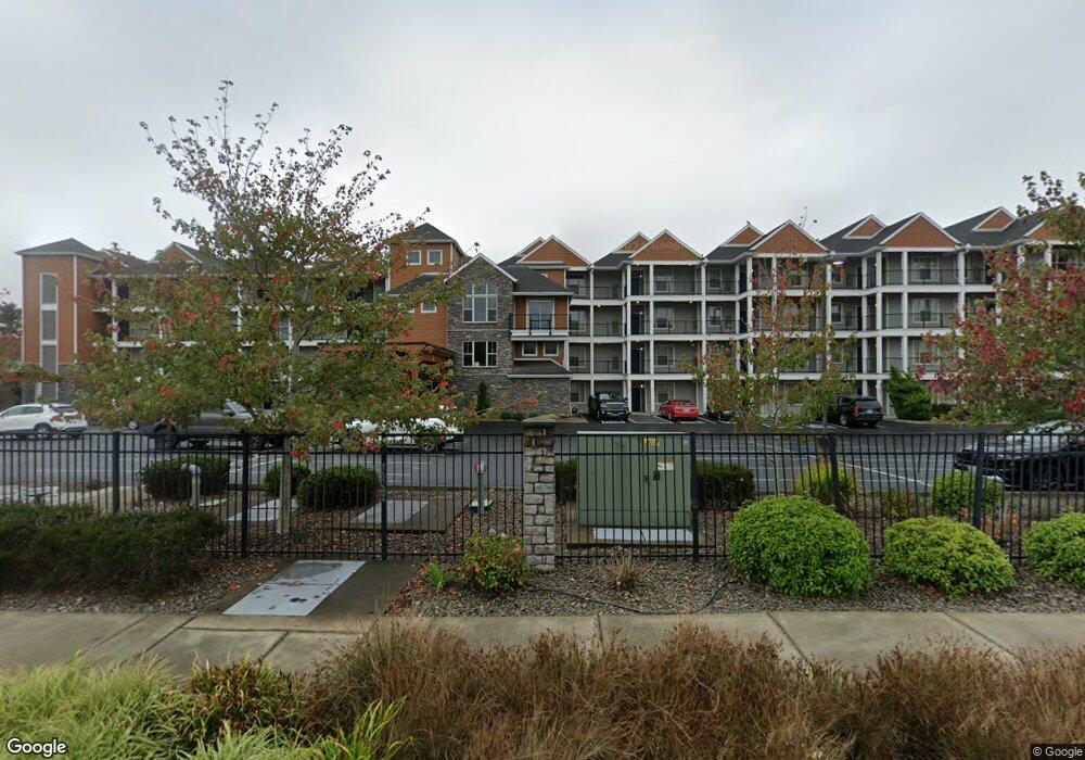
1000 N Holladay Dr Unit 204 Seaside, OR 97138
Estimated Value: $501,000 - $517,000
2
Beds
2
Baths
1,240
Sq Ft
$409/Sq Ft
Est. Value
About This Home
This home is located at 1000 N Holladay Dr Unit 204, Seaside, OR 97138 and is currently estimated at $507,000, approximately $408 per square foot. 1000 N Holladay Dr Unit 204 is a home located in Clatsop County with nearby schools including Seaside High School.
Ownership History
Date
Name
Owned For
Owner Type
Purchase Details
Closed on
Oct 14, 2014
Sold by
Mozinski Steve
Bought by
Brown James B and Brown Diana L
Current Estimated Value
Home Financials for this Owner
Home Financials are based on the most recent Mortgage that was taken out on this home.
Original Mortgage
$199,200
Outstanding Balance
$152,838
Interest Rate
4.2%
Mortgage Type
New Conventional
Estimated Equity
$354,162
Purchase Details
Closed on
Oct 3, 2012
Sold by
Federal Home Loan Mortgage Corporation
Bought by
Mozinski Steve
Create a Home Valuation Report for This Property
The Home Valuation Report is an in-depth analysis detailing your home's value as well as a comparison with similar homes in the area
Home Values in the Area
Average Home Value in this Area
Purchase History
| Date | Buyer | Sale Price | Title Company |
|---|---|---|---|
| Brown James B | $249,000 | Fidelity National Title Co | |
| Mozinski Steve | $174,900 | Ticor Title Ins Co |
Source: Public Records
Mortgage History
| Date | Status | Borrower | Loan Amount |
|---|---|---|---|
| Open | Brown James B | $199,200 |
Source: Public Records
Tax History Compared to Growth
Tax History
| Year | Tax Paid | Tax Assessment Tax Assessment Total Assessment is a certain percentage of the fair market value that is determined by local assessors to be the total taxable value of land and additions on the property. | Land | Improvement |
|---|---|---|---|---|
| 2025 | $2,896 | $201,561 | -- | -- |
| 2024 | $2,811 | $195,691 | -- | -- |
| 2023 | $2,728 | $189,992 | $0 | $0 |
| 2022 | $2,654 | $184,459 | $0 | $0 |
| 2021 | $2,597 | $179,087 | $0 | $0 |
| 2020 | $2,537 | $173,871 | $0 | $0 |
| 2019 | $2,468 | $168,807 | $0 | $0 |
| 2018 | $2,370 | $163,891 | $0 | $0 |
| 2017 | $2,261 | $159,118 | $0 | $0 |
| 2016 | $1,989 | $154,484 | $0 | $154,484 |
| 2015 | $1,937 | $149,985 | $0 | $149,985 |
| 2014 | $1,932 | $145,617 | $0 | $0 |
| 2013 | -- | $141,376 | $0 | $0 |
Source: Public Records
Map
Nearby Homes
- 1000 N Holladay Dr Unit 408
- 1000 N Holladay Dr Unit 311
- 1000 N Holladay Dr Unit 405
- 1000 N Holladay Dr Unit 102
- 1000 N Holladay Dr Unit 203
- 1000 N Holladay Dr Unit 310
- 1000 N Holladay Dr Unit 208
- 1000 N Holladay Dr Unit 302
- 1000 N Holladay Dr Unit 201
- 1000 N Holladay Dr Unit 402
- 1000 N Holladay Dr Unit 304
- 1000 N Holladay Dr
- 1000 N Holladay Dr Unit 309
- 1000 N Holladay Dr Unit 210
- 1000 N Holladay Dr Unit 308
- 1000 N Holladay Dr Unit 206
- 1000 N Holladay Dr Unit 106
- 1000 N Holladay Dr Unit 409
- 1000 N Holladay Dr Unit 207